



An Ocean of Invisible Leaks
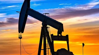
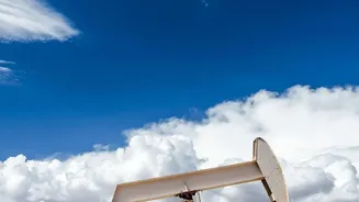
The Permian Basin, stretching across West Texas and New Mexico, is the engine of America’s oil production. But it's also the country's largest source of methane emissions from the oil and gas industry. Methane is a super-potent greenhouse gas, with over
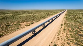
80 times the warming power of carbon dioxide in its first 20 years in the atmosphere. For decades, the true scale of these emissions was a matter of estimates and self-reporting. Recent satellite data has revealed a shocking truth: emissions from the basin are potentially four times higher than what was being reported to environmental agencies. This wasted gas, leaking from pipelines, well pads, and processing plants, represents not only a severe climate threat but also millions of dollars in lost product. A small number of so-called “super-emitters” are responsible for a disproportionately large share of the problem.
The Detectives in Orbit
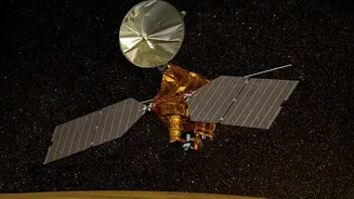
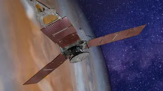
The game-changer is a new generation of satellites equipped with advanced spectrometers. These instruments can detect the unique fingerprint of methane in sunlight reflecting off the Earth, making massive, invisible gas plumes visible to scientists. A key player in this effort was MethaneSAT, a pioneering satellite launched in March 2024 by the Environmental Defense Fund (EDF), a non-profit organization. It was designed to survey large areas with high precision, identifying not just individual large leaks but the total emissions across entire regions. This satellite works within a broader ecosystem. Wide-view satellites, like the European Space Agency's Sentinel, first identify general hotspots. Then, high-resolution satellites like MethaneSAT and others from companies like GHGSat and Carbon Mapper can zoom in to pinpoint the specific facilities responsible.
From Data to Action
Detecting a leak is only the first step. The real innovation lies in how the data is used to “force” remediation. Organizations like EDF and Carbon Mapper make their findings public, creating a new level of transparency. When a significant leak is confirmed, analysts pinpoint the responsible facility. The data is then shared with government bodies and regulatory agencies, who in turn notify the operator. This process of public exposure and official notification creates powerful pressure. No company wants to be publicly identified as a major polluter. In March 2026, data from MethaneSAT prompted a U.S. Senator to launch a formal investigation into the emissions of the eight largest operators in the Permian Basin, demanding to know why their reported figures differed so drastically from what the satellite observed.
Proof of a System that Works
The results have been both swift and significant. In one case from October 2024, Carbon Mapper’s satellite detected a large plume from a gathering pipeline. The team notified the operator via state and federal agencies. The company quickly conducted repairs, and a follow-up satellite pass confirmed the leak was fixed. On a broader scale, MethaneSAT’s data revealed that operators on the New Mexico side of the Permian have a methane intensity less than half that of their Texas counterparts. Researchers attribute this difference to stronger emissions regulations enacted by New Mexico in 2021, proving that clear rules, verified by independent data, deliver measurable results.
A Mission Cut Short, A Legacy Secured
The story of MethaneSAT itself took an unexpected turn. In June 2025, after more than a year of groundbreaking work, mission control lost contact with the satellite, which was deemed unrecoverable due to a power failure. While its operational life was cut short, its mission was a resounding success. The data it gathered fundamentally changed our understanding of methane emissions and proved the power of transparent, satellite-based monitoring. The pioneering science and algorithms developed for the mission live on, enhancing the capabilities of the entire satellite fleet. The system of accountability it championed is now firmly in place, carried on by other public and private satellites that continue to watch from above.