



What is Seafloor Spreading?
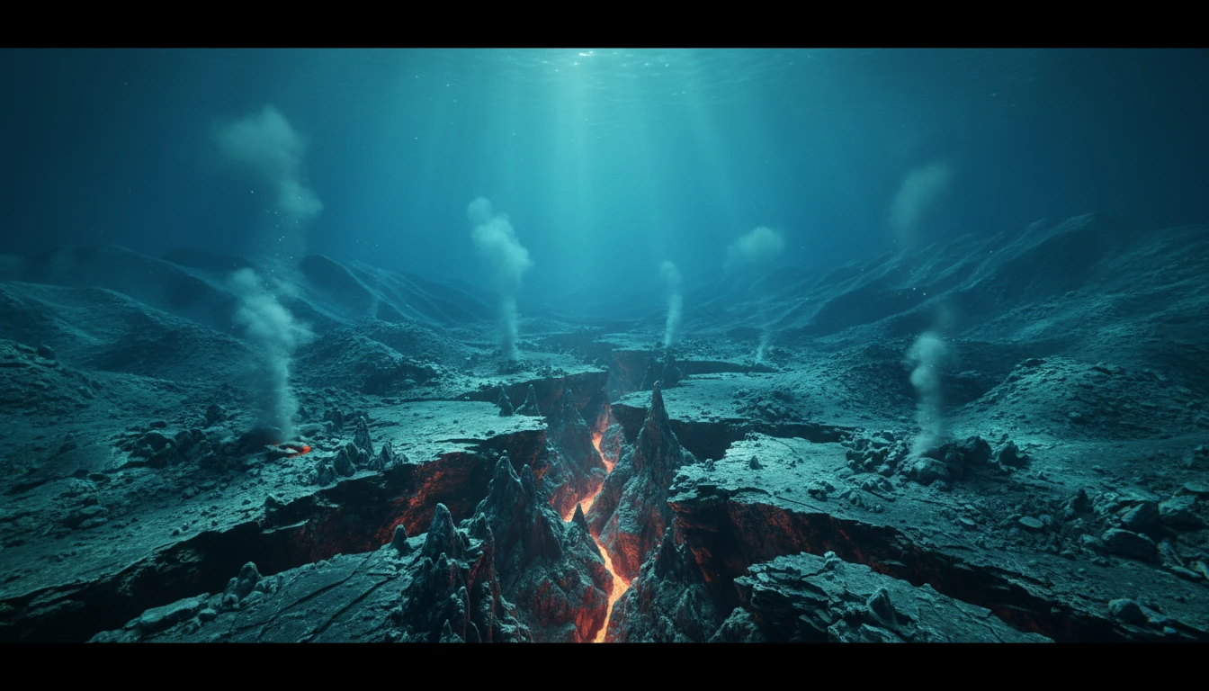
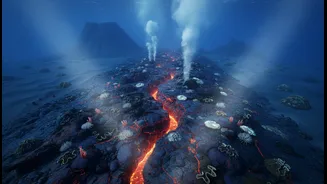
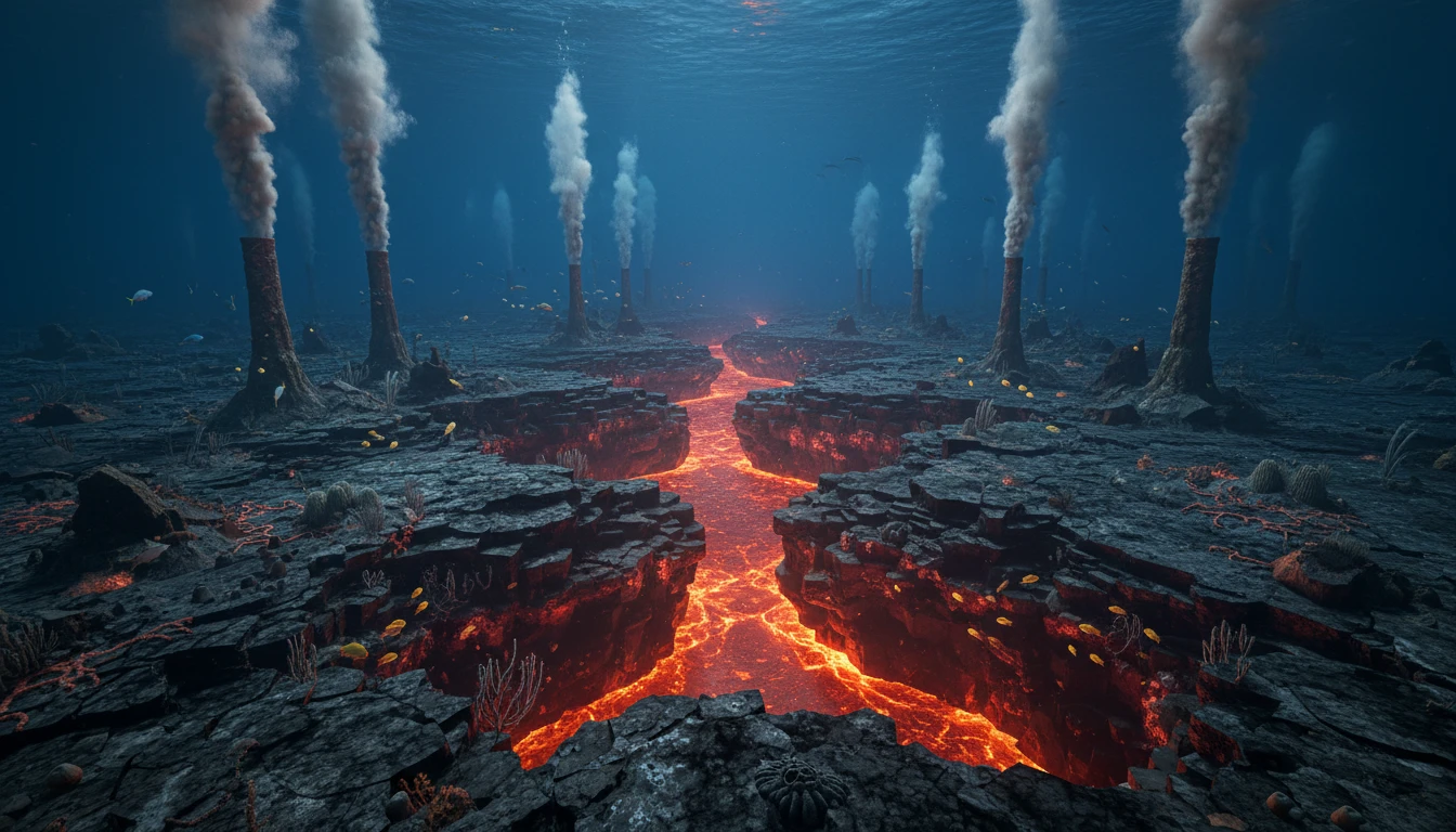
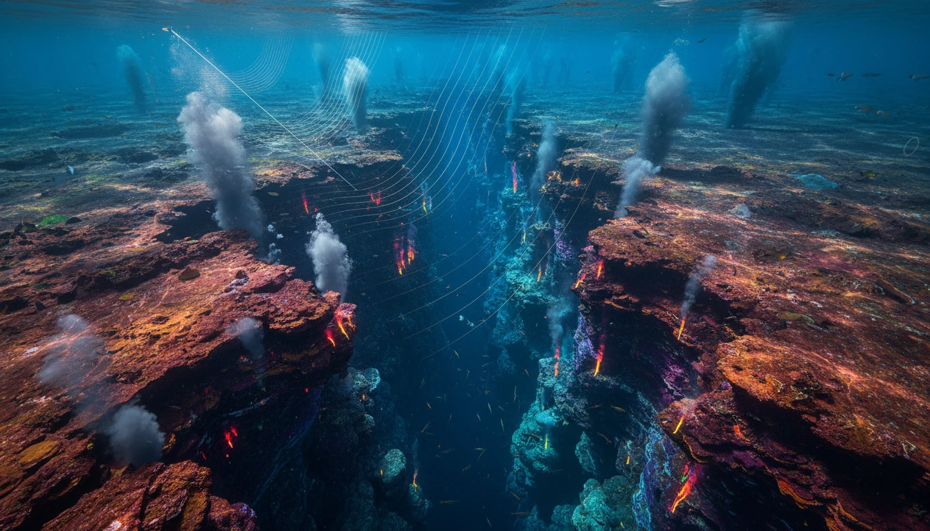
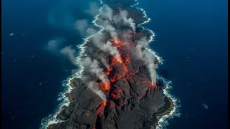
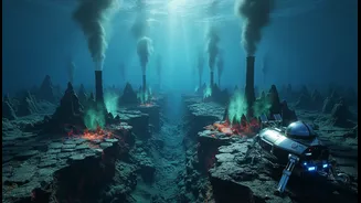
Imagine the Earth's surface not as a solid shell, but as a jigsaw puzzle of massive, moving pieces called tectonic plates. Seafloor spreading is what happens at the seams of this puzzle under the ocean. At underwater mountain ranges, known as mid-ocean
ridges, these plates are slowly pulling apart. As they separate, molten rock, or magma, rises from deep within the Earth to fill the gap. When this searing magma meets the near-freezing seawater, it cools and hardens into brand-new oceanic crust. This perpetual cycle, like a slow-motion conveyor belt, pushes older crust aside and literally expands the ocean floor, shaping basins and driving continental drift over millions of years.
The Indian Ocean's Unique Puzzle
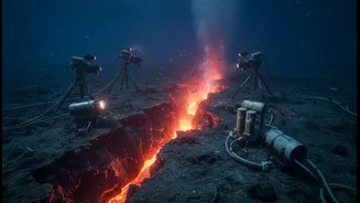
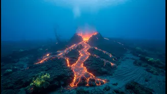
The Indian Ocean is not just any ocean basin; it's one of the most geologically complex on Earth. It features a tangled web of mid-ocean ridges—including the Carlsberg, Central Indian, and Southeast Indian Ridges—that meet at a unique 'triple junction'. This region's tectonic activity is a direct consequence of the breakup of the supercontinent Gondwana and the northward journey of the Indian subcontinent, which ultimately collided with Asia to form the Himalayas. This intricate history makes studying seafloor spreading here crucial for understanding not only planetary geology but also the forces that continue to shape our own backyard. Recent observations on the Southeast Indian Ridge have for the first time captured a spreading event in real-time, offering a rare glimpse into these powerful processes.
The Challenge of Deep-Sea Data
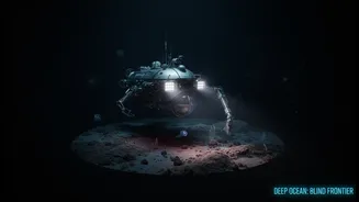
Exploring the deep ocean is often compared to exploring another planet. The environment is incredibly hostile: crushing pressures, total darkness, corrosive saltwater, and immense cold make it one of the hardest places on Earth to study. Sending instruments thousands of metres down is a monumental technical and financial challenge. The specialised tools required—like Remotely Operated Vehicles (ROVs), Autonomous Underwater Vehicles (AUVs), and sophisticated seafloor observatories—are expensive to build, deploy, and maintain. Powering these devices for long periods and transmitting the vast amounts of data they collect back to shore in real-time remain significant hurdles for scientists. Furthermore, biofouling, where marine organisms grow on equipment, can obscure sensors and render expensive deployments useless.
Why Sparse Data is a Critical Problem
The lack of consistent, high-resolution data from the deep Indian Ocean floor is more than just a scientific frustration; it has real-world consequences. An incomplete picture of seafloor spreading limits our ability to accurately model tectonic plate movements. This, in turn, affects our capacity to assess risks from geological hazards like earthquakes and tsunamis, which are of direct concern to India's long coastline. Economically, these unexplored depths hold potential for significant mineral resources, including polymetallic nodules rich in cobalt, nickel, and manganese. Without detailed maps and observations, we can't understand the ecosystems these resources are part of, nor can we develop strategies for their sustainable exploration in the future.
India's Push into the Deep
Recognising the strategic and scientific importance of this frontier, India has launched its ambitious Deep Ocean Mission. This flagship initiative, with a budget of over ₹4,000 crore, aims to develop the indigenous technologies needed to explore and harness the deep sea. A centerpiece of the mission is 'Samudrayaan', India's first manned submersible, designed to carry three scientists to depths of 6,000 metres. The vehicle, named 'MATSYA 6000', is expected to be launched by 2026. This mission will not only allow for direct observation and sample collection but also propel India into a select group of nations with the capability for manned deep-sea exploration, including the US, Russia, and China.