



The Planet's Newest Crust
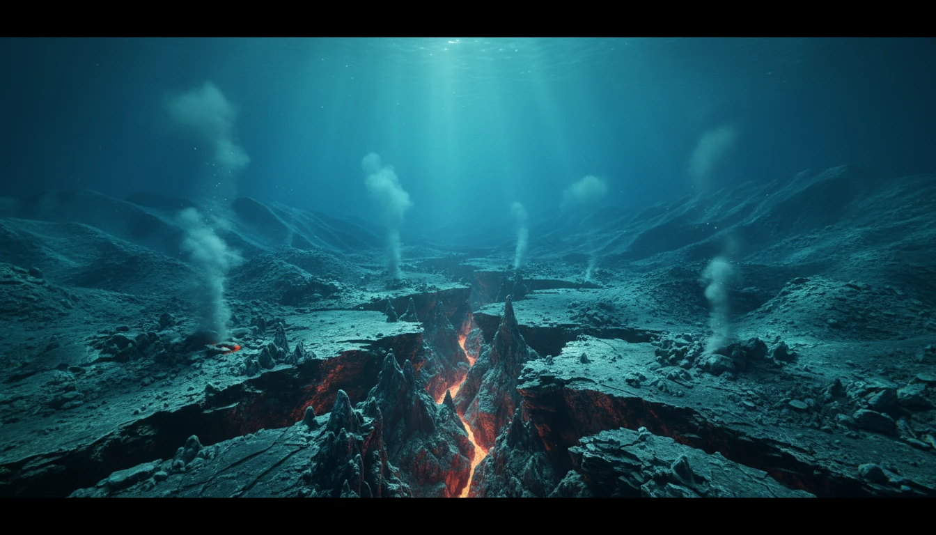
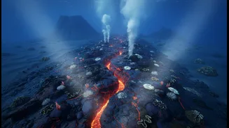
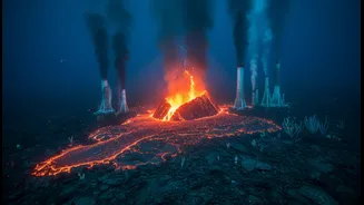
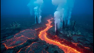
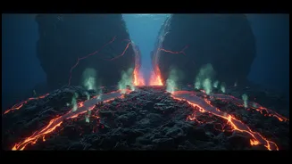
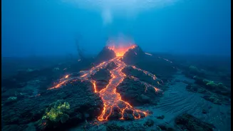
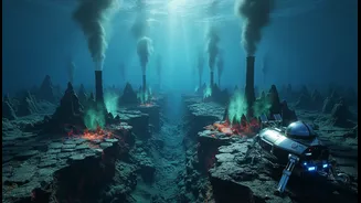
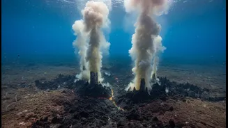
Deep beneath the ocean waves, the Earth's crust is constantly being created. This process, known as seafloor spreading, happens at mid-ocean ridges where tectonic plates pull apart. As they separate, magma from the mantle rises to fill the gap, cools,
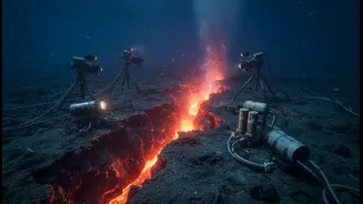
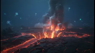
and solidifies into new rock. Recently, scientists captured this process in real-time for the first time in the Indian Ocean. In an event on the Southeast Indian Ridge, an array of instruments detected a swarm of earthquakes as a section of the seafloor sank by several metres over just six days. This single episode, which released an estimated 160 million cubic metres of lava, was equivalent to decades of normal, slow plate movement compressed into a week. This discovery is crucial because it proves the seafloor grows in sudden, dramatic bursts, not just a slow crawl, changing our understanding of how tectonic pressures build and release.
Prediction vs. Realistic Forecasting
The headline is right to be sceptical of “instant earthquake prediction.” Science cannot predict the exact time and place of a major earthquake. However, it can provide increasingly accurate forecasts and hazard assessments. The key difference is probability. Prediction is a definitive statement of a future event, which is not possible for complex systems like tectonic plates. Forecasting, on the other hand, uses data to calculate the likelihood of an event in a given area over a period of time. Studying seafloor spreading events provides invaluable data for this. It helps scientists understand the mechanics of fault movements, including 'aseismic slip'—movement without tremors—which was observed in the recent Indian Ocean event. This knowledge helps solve the long-standing mystery of why recorded earthquakes didn't account for all observed plate movement. By understanding all the ways stress is released, both seismically and aseismically, forecast models become much more reliable.
Designing Smarter Ocean Sentinels
Following the devastating 2004 tsunami, the Indian Ocean has seen a major upgrade in its warning systems, evolving from having almost no sensors to a network of buoys and coastal gauges. However, the effectiveness of any observatory network depends on where you place the sensors. Detailed knowledge of seafloor spreading zones is like having a high-resolution map of the ocean's most active areas. The recent real-time observation was captured by a sophisticated observatory network called OHA-GEODAMS, which used underwater microphones and seafloor beacons. This demonstrates that knowing where to deploy these advanced, and expensive, instruments is half the battle. As India advances its own Deep Ocean Mission, which includes deploying crewed and uncrewed submersibles, this detailed geological data will be essential for designing and positioning its own network of deep-sea observatories for maximum effectiveness.
From Deep-Sea Data to Safer Coasts
The ultimate goal of this research is to protect the millions of people living along India’s extensive coastline. The link between seafloor spreading and hazard research is direct. Earthquakes at spreading ridges are common, though often smaller than those at subduction zones where one plate dives under another. However, the activity at these ridges can trigger seismic events on adjacent, larger faults. More importantly, the data gathered—on magma flow, fault lines, and the rate of crust formation—is fed into computer models that simulate potential tsunamis. Accurate seafloor maps, known as bathymetry, are critical for predicting how a tsunami wave will travel and how high it will be when it reaches the coast. Therefore, the more we learn about the dynamic geology of the Indian Ocean floor, the more refined and reliable our tsunami and earthquake hazard maps become.
India’s Deep-Sea Ambitions
India is actively stepping into this field with its ambitious Deep Ocean Mission, a multi-crore project aimed at exploring and sustainably utilising ocean resources. A key part of this is the 'Samudrayaan' project, which aims to send a crewed submersible, 'Matsya 6000', to depths of 6,000 metres. This will give Indian scientists firsthand capability to study deep-sea geology, including spreading ridges within its area of interest. The mission isn't just about mineral exploration; it's about building national capability in a critical frontier. The knowledge gained from studying seafloor dynamics will directly feed into the national disaster management framework, enhancing the Indian Tsunami Early Warning Centre, which already serves the entire Indian Ocean region. By investing in deep-sea science, India is investing in the long-term security of its coastal communities.