





A New Era of Weather Prediction
For decades, weather forecasting in India was a broad-strokes affair. Predictions often covered large regions, leaving city dwellers and farmers guessing about the conditions in their specific area. While these forecasts were useful for large-scale phenomena
like the monsoon's arrival, they lacked the granularity needed for daily life. The challenge was not a lack of expertise, but a limitation in tools. Early satellite technology provided a blurry, infrequent picture of the atmosphere. Today, that picture has come into sharp focus. The India Meteorological Department (IMD) now leverages advanced technology that has transformed its capabilities, moving from regional estimates to precise, localised warnings.
India’s Eyes in the Sky
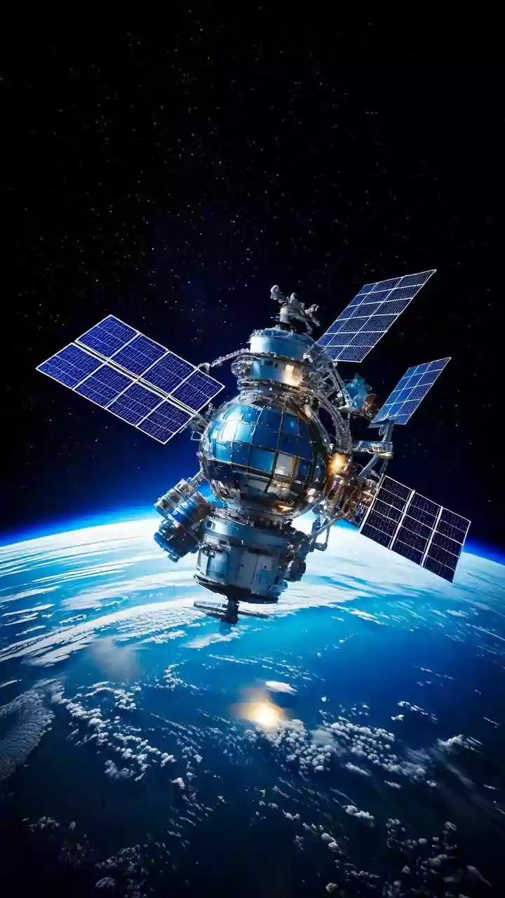
The game-changers are India's new generation of dedicated weather satellites, primarily the INSAT-3D, INSAT-3DR, and the recently launched INSAT-3DS. Operated by the Indian Space Research Organisation (ISRO), these geostationary satellites are packed with state-of-the-art instruments. Unlike older satellites that took pictures every few hours, the new imagers can scan the Indian subcontinent much more frequently, providing updates as often as every 15 minutes. This rapid-scan capability is crucial for tracking the development of short-lived, intense weather events like thunderstorms that can cause flash floods in urban areas. These satellites carry multi-channel imagers and atmospheric sounders, which do much more than just take pictures of clouds.
More Than Just a Picture
A satellite image shows cloud cover, but modern forecasting needs more data. The atmospheric sounders aboard the INSAT satellites provide a vertical profile of the atmosphere, measuring temperature and humidity at different altitudes. This three-dimensional view is critical for understanding atmospheric stability and predicting where and when a storm will form. The imagers operate in multiple spectral bands, including visible, infrared, and water vapour channels. This allows meteorologists to determine the height of cloud tops, their temperature (a proxy for storm intensity), the amount of moisture available, and wind patterns. This wealth of data is fed into powerful supercomputers that run complex Numerical Weather Prediction (NWP) models.
The 'Nowcasting' Revolution in Cities
This combination of high-resolution, high-frequency satellite data and advanced computer modelling has enabled a practice called 'nowcasting'. Nowcasting is the science of providing weather forecasts for the immediate future, typically from 0 to 6 hours ahead, with a high degree of geographical detail. For a city like Mumbai or Delhi, this means the IMD can issue alerts for intense rainfall in a specific zone, like Andheri or Connaught Place, while other parts of the city remain dry. This capability is powered by integrating satellite data with ground-based systems like Doppler Weather Radars and automatic rain gauges. Recently, the IMD has also begun integrating Artificial Intelligence (AI) to downscale these predictions to an even finer resolution, making city-level forecasting more accurate than ever.
Impact Beyond the Daily Commute
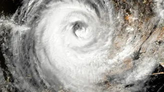
The benefits of precise forecasting extend far beyond helping urbanites avoid a downpour. For India's agricultural sector, which employs a significant portion of the population, these hyper-local forecasts are transformative. Farmers receive timely advisories on when to sow, irrigate, or harvest, improving crop yields and reducing input costs. In a 2022-23 study in Maharashtra, satellite-based advisories boosted farm productivity by up to 5 percent. Furthermore, this technology is a cornerstone of disaster management. Accurate tracking of cyclones, predicting their intensity and path, and issuing early warnings for heavy rainfall events allows authorities to evacuate vulnerable populations and mitigate the loss of life and property.