



A Historic Partnership in Orbit
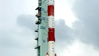
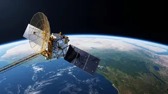
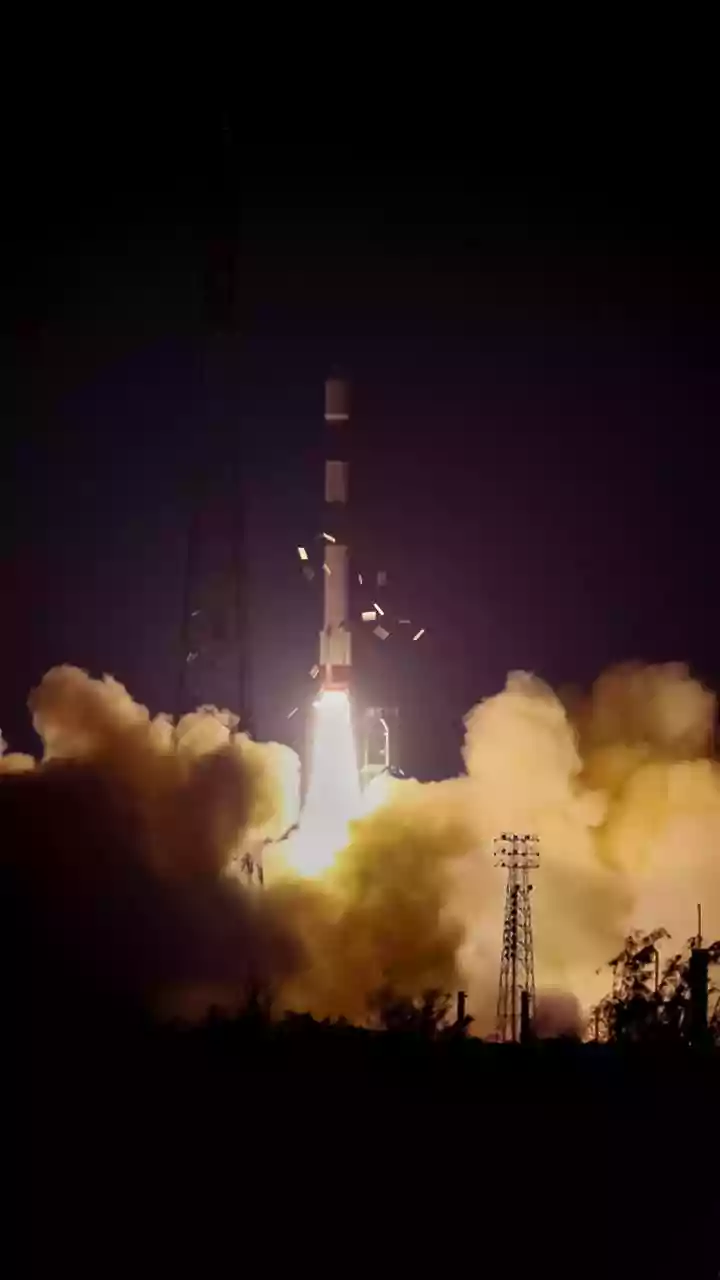
The NASA-ISRO Synthetic Aperture Radar, or NISAR, represents a monumental achievement in international space cooperation. Launched on July 30, 2025, aboard an ISRO GSLV rocket, this $1.5 billion mission is one of the most expensive and advanced Earth-observation
satellites ever built. For the next several years, it will orbit the Earth every 12 days, systematically scanning the land and ice-covered surfaces. This collaboration combines the expertise of two of the world's leading space agencies, with NASA providing the L-band radar and ISRO contributing the S-band radar and the spacecraft itself, creating a truly unique and powerful tool for science.
Seeing the Unseen with Dual-Frequency Radar
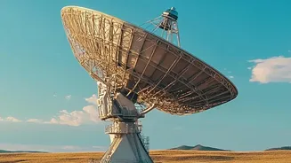
What makes NISAR so special is its advanced Synthetic Aperture Radar (SAR) technology. Unlike regular cameras, radar can see through clouds, darkness, and even dense vegetation, providing an uninterrupted view of the Earth's surface. NISAR is the first satellite to use two different radar frequencies—L-band and S-band—simultaneously. The L-band can penetrate forest canopies to measure forest structure and biomass, while the S-band is excellent for monitoring soil moisture and crop health. This dual-frequency capability allows scientists to detect changes on the ground as small as a single centimetre, offering a remarkably precise picture of our dynamic planet.
A Boon for Indian Agriculture
For a country as agriculturally dependent as India, NISAR is a game-changer. The satellite's ability to accurately map soil moisture at a high resolution of 100 metres is revolutionary. For the first time, farmers and water resource managers can get consistent, near-real-time data on water availability in the soil. This information is critical for optimizing irrigation, managing water usage efficiently, and forecasting droughts. By tracking crop growth from planting to harvest, NISAR provides invaluable insights that can boost yields and enhance food security across India's diverse agro-climatic zones. The data is being made accessible through ISRO's Bhoonidhi portal for planners and farmers.
An Early Warning System for Natural Disasters
Beyond the farm, NISAR's precision will play a crucial role in protecting lives and property. Its ability to detect minute changes in the Earth's surface makes it an exceptional tool for monitoring natural hazards. In India, this means keeping a close watch on landslide-prone areas in the Himalayas, tracking land subsidence in urban areas, and monitoring seismic activity to better understand earthquake risks. The data will help disaster management agencies improve their preparedness and response efforts, potentially giving them more time to act before a crisis unfolds. It can also monitor the dynamics of glaciers and ice sheets, which is vital for understanding climate change impacts.
Protecting India's Green Cover
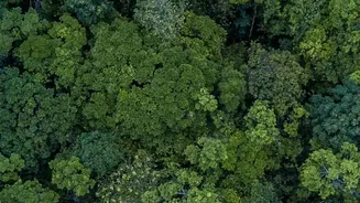
The satellite's powerful radar is also a guardian of India's natural ecosystems. NISAR's L-band radar can see through the leaves and branches of dense forests to measure the amount of woody biomass, providing a clear inventory of our forest resources. This capability is crucial for tracking deforestation, monitoring the health of forests, and assessing carbon stocks. The frequent, all-weather observations will help authorities manage conservation efforts more effectively, protecting vital habitats and biodiversity. By distinguishing between different types of vegetation, NISAR will help create a detailed and constantly updated map of India’s green wealth.