





The Anatomy of a Storm Surge
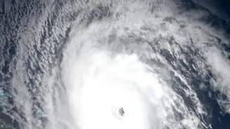
While the powerful winds of a cyclone command attention, the greatest danger often comes from the sea itself. A storm surge is a massive, abnormal rise in sea level pushed ashore by the sheer force of a cyclone's winds. It is not a tidal wave, but a bulge
of water that can tower several metres above normal sea levels. This wall of water can race inland at devastating speeds, inundating vast low-lying areas, destroying homes, contaminating freshwater sources, and causing catastrophic loss of life. As climate change contributes to more intense and frequent cyclones in the Arabian Sea and Bay of Bengal, the threat from storm surges has become more acute, making accurate and timely warnings a matter of life and death.
ISRO's Eyes in the Sky
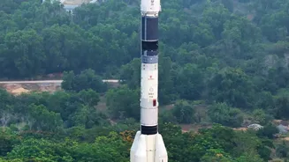
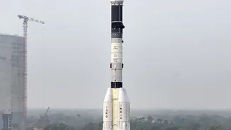
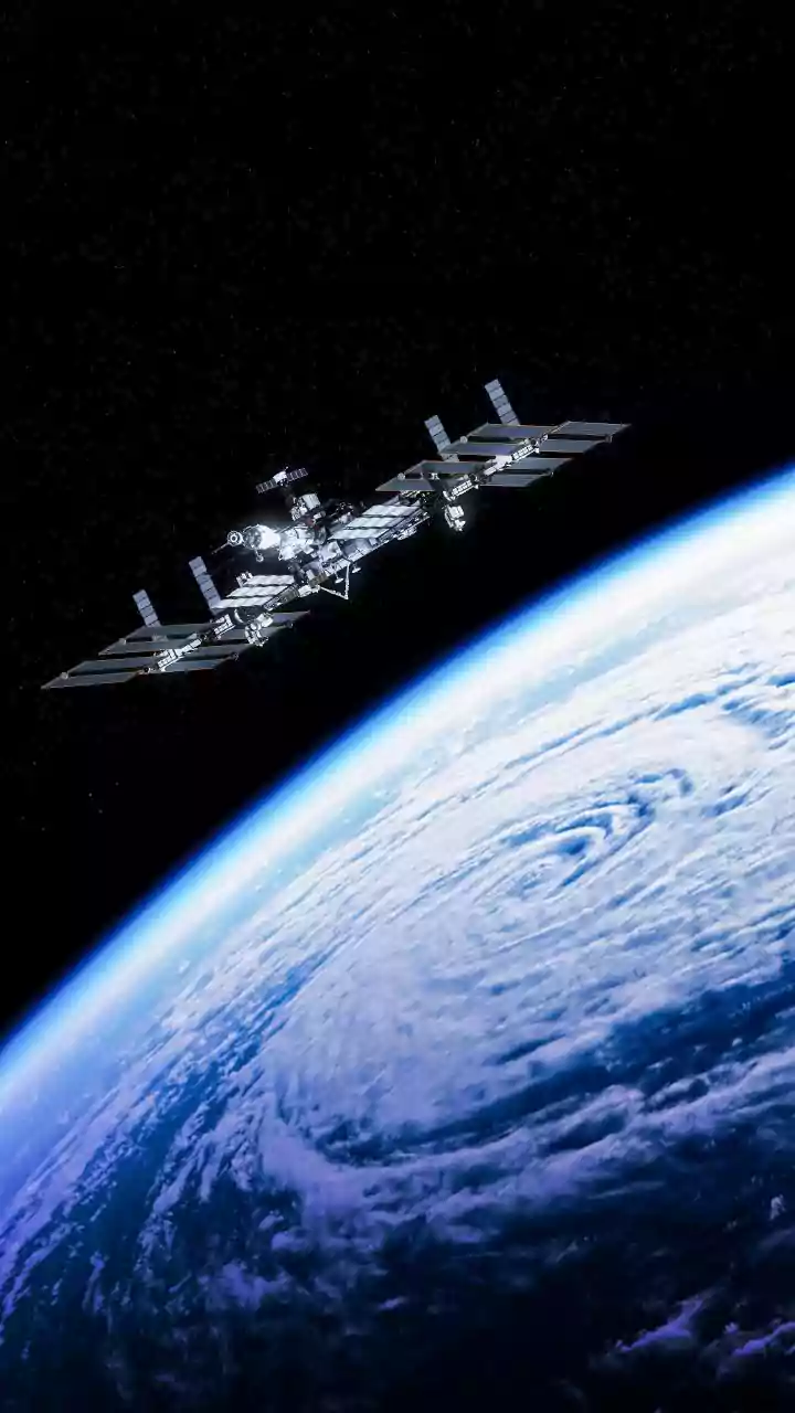
The first line of defence begins hundreds of kilometres above Earth with a fleet of sophisticated satellites operated by the Indian Space Research Organisation (ISRO). This is not just about a single satellite, but a constellation working in concert. Satellites from the INSAT series, like INSAT-3D and INSAT-3DR, provide continuous weather surveillance, capturing images of cloud formations every 15 minutes. Others, like the Oceansat series, are equipped with instruments called scatterometers that measure the speed and direction of winds over the ocean surface. Together, they gather a torrent of critical data: sea surface temperatures, wave heights, cloud top temperatures, and wind vectors. These 'enhancements' in satellite technology refer to the improved frequency, higher resolution, and greater variety of data that can be collected, painting a far more detailed and dynamic picture of a developing storm than ever before.
From Raw Data to Actionable Warning
Raw satellite data is just the beginning. The crucial step is turning these billions of data points into a clear and accurate forecast. This is where a seamless collaboration between India's premier scientific agencies comes into play. ISRO's data is fed in near real-time to the India Meteorological Department (IMD) and the Indian National Centre for Ocean Information Services (INCOIS). The IMD, which is responsible for cyclone forecasting, combines the satellite inputs with data from its extensive network of Doppler weather radars and ocean buoys. This is fed into powerful Numerical Weather Prediction models that forecast the cyclone's track, intensity, and expected landfall with increasing accuracy. INCOIS then takes the IMD's cyclone predictions and uses them in its own specialized models, like the ADCIRC model, to specifically forecast the location, timing, and height of the resulting storm surge. This Storm Surge Early Warning System (SSEWS) can predict inundation levels for specific coastal areas.
Reaching the Most Vulnerable
An accurate warning is only effective if it reaches the people in harm's way. The final, critical link in this safety chain is dissemination. The system has moved beyond generic warnings to highly specific, impact-based forecasts. Using Geographic Information Systems (GIS), agencies can now create detailed maps showing precisely which villages and districts are at risk of being inundated. These actionable alerts are then broadcast through a multi-channel network. The Common Alerting Protocol (CAP), known as 'Sachet', sends warnings via SMS to mobile phones in the threatened area. Mobile applications like SAMUDRA provide advisories directly to fishermen and other marine users. Simultaneously, alerts are sent to national and state disaster management authorities, who coordinate on-the-ground evacuations, while traditional media like television and radio broadcast the warnings to the general public. This multi-pronged approach ensures that the life-saving information travels from space to the shore, reaching the last mile.