



A Planet-Sized Data Problem
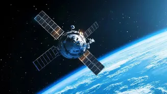
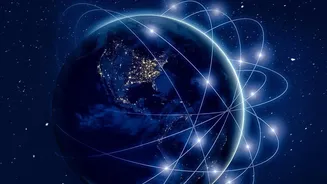
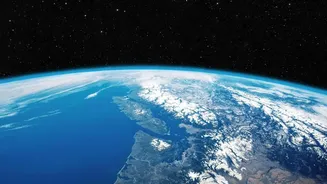
Every day, Earth-observing satellites beam down terabytes of information, building a planetary health record of unprecedented detail. By 2024, NASA estimated it would hold 250,000 terabytes of data from new missions alone. This incredible resource tracks
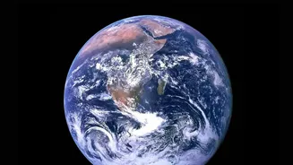
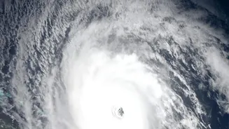
everything from shifting coastlines and melting ice caps to urban growth and agricultural health. However, this success created a new challenge: there is simply too much data for scientists to manually sift through. Identifying critical events like the start of a wildfire, the extent of floodwaters, or subtle changes in land use can be like finding a needle in a global haystack. This bottleneck has limited the speed at which this vital information can be turned into actionable insights.
Enter the Geospatial Foundation Model
To solve this, NASA has partnered with companies like IBM to develop a new kind of artificial intelligence known as a "foundation model." Think of it like the large language models that power chatbots, but instead of being trained on text from the internet, it's trained on vast archives of satellite imagery. This collaborative project resulted in an open-source geospatial AI foundation model, sometimes known as Prithvi, which is trained on years of data from the Harmonized Landsat and Sentinel-2 (HLS) dataset. Instead of building a new AI for every single task, a foundation model learns the fundamental patterns of our planet's surface. It can then be quickly adapted, or "fine-tuned," for a wide variety of specific jobs.
Training an AI to See the World
Training this AI involves feeding it massive quantities of unlabeled satellite images. Using a technique called self-supervised learning, the model learns to identify the underlying structure and features of the Earth's surface on its own. For instance, it might learn what a river looks like in different seasons, how a city's edge differs from farmland, or the textural differences between a healthy forest and one scarred by fire. Once this foundational knowledge is in place, scientists can fine-tune it with smaller, labeled datasets. For example, by showing the model a few hundred examples of floodwaters, it can then accurately identify flooding anywhere in the world, often much faster and more reliably than previous methods.
From Raw Data to Real-World Impact
The applications for this technology are transformative. After training, the model can perform critical tasks like mapping burn scars from wildfires, identifying areas inundated by floods, tracking deforestation, and even monitoring crop health to predict yields. This provides emergency responders with near-real-time maps during a natural disaster, helps governments monitor environmental changes, and supports farmers with data-driven insights. Because the AI can process information much faster than traditional methods, it dramatically shortens the time from data collection to decision-making. In May 2026, a version of the Prithvi model was even deployed to the International Space Station, demonstrating its ability to perform analysis in orbit, getting crucial information to the ground even faster.
An Open-Source Future for Earth Science
Crucially, NASA and its partners have made these powerful tools open source, releasing them on platforms like Hugging Face. This means that scientists, researchers, and organizations around the world can access, use, and build upon this technology for free. This collaborative approach accelerates innovation and empowers a global community to address regional challenges. An environmental agency in one country can adapt the model to monitor local water quality, while a university research team in another can use it to study biodiversity. By democratizing access to this cutting-edge AI, NASA is ensuring that the benefits of space-based Earth observation are shared as widely as possible, fostering a new era of planetary stewardship.