





The View from Above
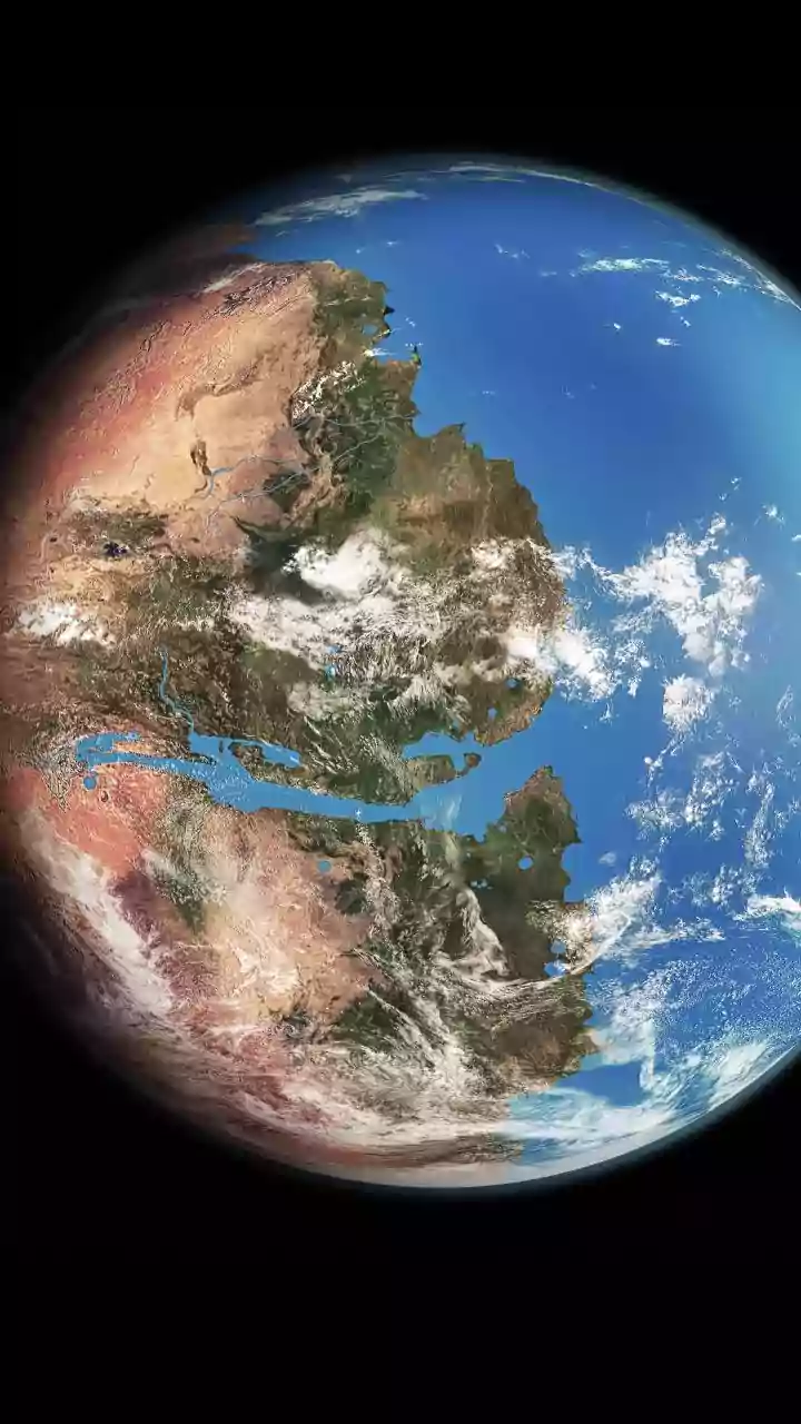
Satellite remote sensing has revolutionised how we see our coasts. From space, we can monitor shoreline changes, map mangrove health, track sediment plumes, and measure sea-surface temperatures over vast areas. This technology gives researchers and policymakers
a data-rich, large-scale perspective that was previously impossible to achieve, helping to identify vulnerable zones and track the impact of climate change. For a country with a 7,500-kilometre coastline, this ability to monitor broadly and consistently is invaluable for tasks like enforcing Coastal Regulation Zone (CRZ) norms and planning sustainable development.
The Satellite's Blind Spots
For all its strengths, satellite data has significant limitations. A major issue is resolution; a single pixel can represent a large area, meaning the accuracy is often within metres, not the centimetres needed for fine-scale analysis. Cloud cover can completely block the view of optical satellites, creating data gaps, especially in tropical regions like ours during monsoon. More importantly, a satellite can't see the historical context of a shoreline before its launch, nor can it understand the cultural significance of a place, the behaviour of specific marine species, or the nuanced, sub-surface health of an ecosystem like a coral reef. It provides a powerful 'what,' but often struggles with the 'why' and 'how.'
Wisdom of the Tides
Long before satellites, coastal communities developed their own deep understanding of the environment. This Indigenous Knowledge, or Traditional Ecological Knowledge (TEK), is a holistic system built on generations of direct observation and experience. It encompasses everything from predicting weather based on wind patterns and animal behaviour to knowing the most sustainable times to harvest marine resources. In India, the knowledge of fishing communities like the Koli of Maharashtra or the inhabitants of the Sundarbans is a living library of information about local currents, fish stocks, and ecosystem dynamics. This knowledge is not just data; it is woven into cultural practices, spirituality, and a sense of stewardship.
When Tradition Meets Misinterpretation
Indigenous Knowledge also has its limitations, particularly when viewed from a Western scientific perspective. It is often hyper-local, meaning that knowledge from one village may not apply a few kilometres down the coast. As it is often passed down orally, there's a risk of it being lost or misinterpreted, and it can be difficult to 'validate' using standard scientific methods. There is also a significant ethical risk of appropriation, where outside researchers might extract knowledge without respecting its community ownership or cultural context. Romanticising this knowledge without acknowledging its specificity and the need for respectful engagement is as unhelpful as dismissing it outright.
Forging a Difficult Partnership
The real challenge lies in integrating these two powerful, yet fundamentally different, ways of knowing. They operate on different worldviews; Western science often seeks to be objective and reductionist, while Indigenous Knowledge is holistic and relational. This can lead to communication barriers and a power imbalance, where scientific data is treated as 'fact' and traditional knowledge as 'anecdote.' For a true partnership to work, researchers must move beyond simply using communities as data sources. It requires building trust, co-designing projects, and respecting Indigenous data sovereignty—ensuring communities have control over how their knowledge is used and shared.
A 'Two-Eyed Seeing' Approach
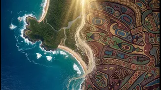
The most promising path forward is a concept known as 'two-eyed seeing', which suggests learning to see from one eye with the strengths of Indigenous knowledge, and from the other eye with the strengths of Western science. In practice, this means satellite data could identify a large area of coastal erosion, while local elders explain that this is a cyclical pattern or that it was caused by a specific recent change in currents they observed. Similarly, Indigenous reports of changing fish populations can guide scientific surveys. Technology can help validate and scale local observations, while local knowledge can provide the crucial context and interpretation that data alone lacks.