


A Second Chance at a Strategic Goal
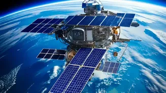
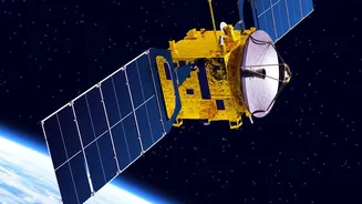
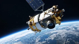
The upcoming launch of GISAT-1A, also known as EOS-05, is one of the most anticipated missions from the Indian Space Research Organisation (ISRO) in years. Scheduled for early September 2026, this mission is ISRO’s second attempt to place a state-of-the-art
imaging satellite into a geostationary orbit. Its predecessor, GISAT-1, was lost during a launch failure in August 2021 due to a technical anomaly in the GSLV rocket's cryogenic upper stage. Five years later, this new mission represents not just the deployment of a crucial piece of technology, but a significant comeback for ISRO, aiming to finally achieve a long-held strategic vision. The satellite, weighing over 2,200 kg, is set to launch from Sriharikota aboard a GSLV-F17 rocket, carrying the hopes of a nation eager to secure this advanced capability.
What Makes Geostationary Imaging Different?
Most Earth observation satellites operate in Low Earth Orbit (LEO), circling the globe multiple times a day. They provide valuable snapshots of different locations as they pass overhead. GISAT-1A, however, is designed for a geostationary orbit, a position approximately 36,000 kilometres above the equator. At this altitude, the satellite’s orbital speed matches the Earth's rotation, making it appear stationary over a fixed point. Instead of brief passes, it offers a persistent, unblinking eye over the entire Indian subcontinent. This fundamental difference is what enables 'near-real-time' monitoring. While LEO satellites might see a location for a few minutes a day, GISAT-1A will be able to image a specific area of interest as frequently as every five minutes, and scan the entire Indian landmass every half hour. This transforms satellite imaging from a periodic check-in to a continuous watch.
A Game-Changer for National Security
The ability to constantly monitor a vast geographical area has profound implications for India’s defence and intelligence apparatus. While officially a civilian satellite, its capabilities are undeniably strategic. Near-real-time imaging allows for persistent surveillance of borders, tracking movements in sensitive areas, and monitoring strategic assets. In a complex geopolitical landscape, this provides a significant advantage in situational awareness. It enables security forces to receive timely updates without the delay of waiting for a satellite to pass over a region of interest. This persistent monitoring can help detect changes on the ground almost as they happen, providing crucial intelligence for operational planning and enhancing the country's defensive posture.
A Lifeline During Natural Disasters
Beyond its strategic importance, GISAT-1A’s greatest impact may be felt in disaster management. The ability to rapidly revisit an area is critical when dealing with fast-moving events like cyclones, floods, and forest fires. Current systems already use satellite data for disaster response; for instance, ISRO satellites helped in the successful evacuation of over a million people during Cyclone Fani in 2019. GISAT-1A will elevate this capability to a new level. Emergency management agencies will be able to track the progression of a cyclone, map the extent of flooding in near real-time, and identify safe routes for rescue teams. This continuous stream of data can mean the difference between timely intervention and delayed response, ultimately saving lives and minimizing damage.
Smarter Farming and Environmental Monitoring
The benefits of this technology extend deep into India's economy and environmental management. The satellite's multi-spectral imagers will provide valuable data for agriculture, forestry, and water resource management. Farmers and policymakers can get rapid updates on crop health, soil moisture, and pest infestations, enabling more efficient and productive agriculture. This supports government initiatives like the Pradhan Mantri Fasal Bima Yojana crop insurance scheme by providing accurate, large-scale assessments. Furthermore, the satellite will be a key tool in monitoring the effects of climate change, from tracking the melting of Himalayan glaciers to assessing the health of forests and water bodies across the country. This objective data is crucial for creating effective long-term environmental policies.