

Seeing the Unseen from Space
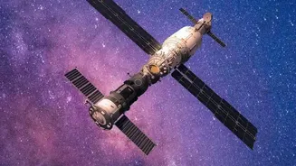
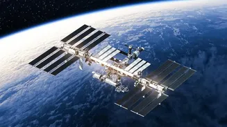
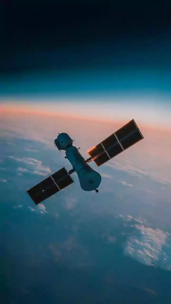
A satellite orbiting Earth doesn't see a field of wheat or cotton the way we do. Instead, it sees energy. Plants, like all living things, interact with light in unique ways. They absorb certain types of light for photosynthesis and reflect others. Specifically,
healthy, thriving plants absorb a lot of visible red light but reflect near-infrared (NIR) light, which is invisible to the human eye. Stressed, diseased, or dehydrated plants do the opposite. Satellites are equipped with special sensors, called multispectral imagers, that can precisely measure the amounts of different light wavelengths reflecting off the Earth's surface. This allows them to detect these subtle changes in light reflection, effectively giving them the ability to see the invisible signs of plant health or stress across millions of acres at once.
The Greenness Score: Understanding NDVI
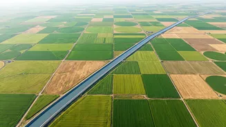
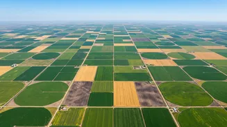
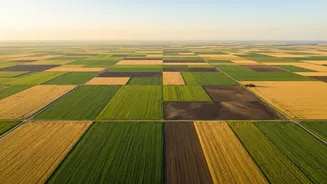
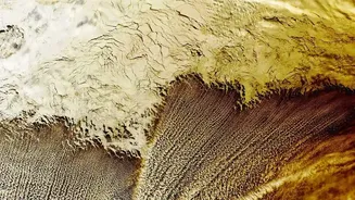
Scientists and agronomists use this satellite data to calculate something called the Normalized Difference Vegetation Index, or NDVI. Think of it as a simple, powerful health score for vegetation. The formula compares the reflection of red light to near-infrared light. The result is a value between -1 and +1. A high positive value, typically shown as dark green on a map, indicates dense, healthy, and chlorophyll-rich vegetation. Lower values, often coloured yellow or red, signify sparse vegetation or plants that are under stress from lack of water, nutrient deficiency, or pest attacks. By generating these colour-coded maps, a farmer can see exactly which parts of their field are thriving and which need immediate attention, something that would be nearly impossible to spot by just walking the fields.
From Data to Actionable Insights
Raw satellite data alone isn't enough; its value lies in interpretation. This is where precision agriculture comes in. Agri-tech companies and government agencies process this data, turning complex spectral readings into simple, actionable advice for farmers. An NDVI map can reveal variability within a single field, allowing for targeted interventions. For instance, instead of applying fertiliser uniformly across an entire area, a farmer can use a variable-rate prescription map to apply more nutrients only in the specific zones that show signs of deficiency. This approach, known as precision farming, saves money on inputs like fertiliser and water, increases efficiency, and reduces environmental impact. It helps farmers detect stress up to two weeks before visible symptoms appear, enabling proactive rather than reactive management.
Transforming Indian Agriculture
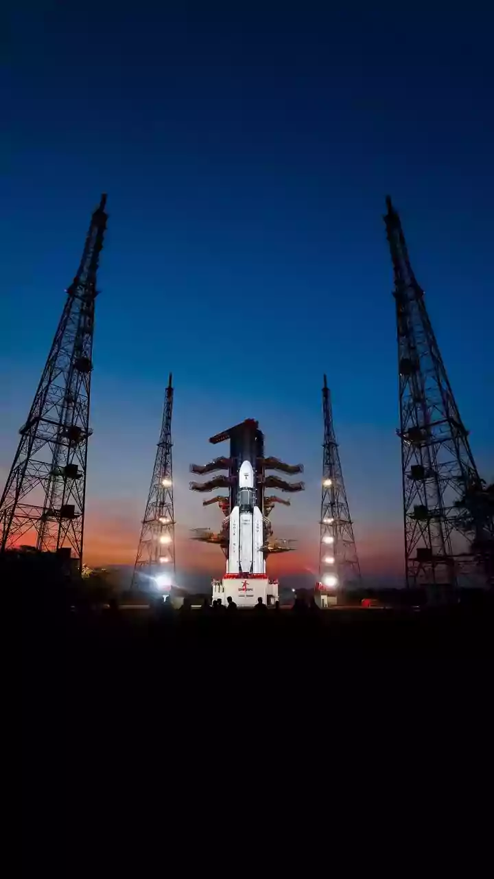
In India, where millions of smallholder farmers form the backbone of the agricultural sector, this technology is a game-changer. Government bodies like the Indian Space Research Organisation (ISRO) have long used satellite data for national-level crop forecasting and drought monitoring through programs like FASAL. Today, a booming ecosystem of private agri-tech startups is making this technology more accessible. They provide mobile apps that deliver weather alerts, pest detection warnings, and crop health recommendations directly to farmers in regional languages. With this data, farmers can make smarter decisions about irrigation, fertilisation, and pest control, ultimately leading to better yields and increased income. This is particularly crucial in a country with diverse agro-climatic zones and a growing population to feed.
Beyond the Farm Gate
The benefits of satellite monitoring extend far beyond individual farms. For the finance and insurance sectors, this technology makes risk more legible. Satellite data can be used to verify crop coverage and estimate yields with enough precision to form the basis for crop loan approvals and insurance claims, often without a single physical field visit. This helps in faster and more transparent processing of claims under schemes like the Pradhan Mantri Fasal Bima Yojana (PMFBY). At a national level, accurate, real-time data on crop health and acreage helps the government make better policy decisions regarding food security, import/export planning, and resource allocation. It moves agriculture from being a practice based on tradition and guesswork to a modern, data-driven industry.