




A New Era of Forecasting
For decades, weather forecasts were broad, often covering entire states. A prediction for "heavy rain in Maharashtra" was of limited use to a commuter in suburban Mumbai. But that is changing. The IMD, utilising a combination of AI, an expanding network
of Doppler radars, and automatic weather stations, has started issuing hyper-local warnings. These new systems can provide rainfall forecasts with a resolution as fine as one kilometre and deliver block-level predictions weeks in advance. This shift from a state-wide to a street-level view is a monumental leap in meteorological capability, offering unprecedented detail for disaster preparedness. The technology, part of initiatives like Mission Mausam, aims to make India 'weather-ready' by moving from conventional forecasts to decision-support services.
The Critical Challenge for Roads
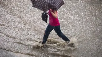
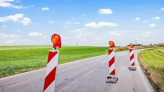
The impact of heavy rain on road transport is immediate and severe. Studies show that even moderate rain can reduce road capacity by up to 30%, leading to gridlock and delays. Incessant downpours cause waterlogging, submerge underpasses, and trigger accidents on slippery surfaces. With district-level warnings, municipal corporations no longer have an excuse for being reactive. These forecasts make proactive planning essential. Authorities can pre-emptively deploy de-watering pumps to known flooding hotspots, issue timely advisories for citizens to avoid specific routes, and manage traffic diversions before chaos ensues. In a study of Surat, 54% of public transport users experienced a complete loss of mobility during heavy monsoons due to water-logging, highlighting the urgent need to translate weather data into action.
Making Railways More Resilient
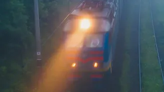
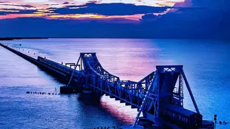
The Indian rail network, the nation's lifeline, is acutely vulnerable to the monsoon. Heavy rains can wash away the ballast under tracks, trigger landslides in hilly sections, and flood railway yards, bringing services to a halt. Recent disruptions on the Lumding-Badarpur section in the Northeast, which cut off several states, underscore this vulnerability. In response, zones like the Northeast Frontier Railway are working closely with the IMD, setting up their own Automatic Weather Stations (AWS) in landslide-prone areas to get real-time data. These hyper-local warnings allow for more strategic deployment of patrolmen to monitor vulnerable tracks, alert control rooms to regulate train speeds, and in extreme cases, halt services before a disaster occurs. This coordination is crucial for passenger safety and operational continuity.
Bridging the Gap Between Data and Action
The technology is here, but its potential can only be realised through institutional will. Having precise, block-level rainfall data is only half the battle. The true challenge lies in integrating this information into the standard operating procedures of municipal corporations and railway zonal authorities. This requires a shift in mindset from post-disaster response to pre-disaster mitigation. It means creating dedicated teams that monitor IMD's nowcast warnings (which provide alerts for the next few hours) and have the authority to make swift decisions. It also means investing in infrastructure that complements these warnings, such as better drainage, permeable pavements, and real-time public information systems to alert commuters. The data provides the 'what' and 'when'; local bodies must now build robust systems to answer 'so what do we do now?'.