




A New Frontier in Online Learning
Through its prestigious Indian Institute of Remote Sensing (IIRS) in Dehradun, ISRO is expanding its outreach programme to train students and professionals in cutting-edge space technology applications. These programmes, often delivered online and free
of cost, are designed to make specialised knowledge accessible to a wider audience across the country. One of the key initiatives is the Space Science and Technology Awareness Training (START) programme, which provides introductory-level training to undergraduate and postgraduate students. The goal is to build a skilled workforce capable of leveraging space science for national development, turning academic learning into practical, real-world solutions.
What are Remote Sensing and GIS?
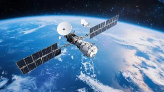
Imagine being able to map an entire flood-affected region or identify areas prone to landslides without ever setting foot there. That is the power of remote sensing. In simple terms, it is the science of obtaining information about areas from a distance, typically from satellites or aircraft. These satellites are equipped with sensors that capture data about the Earth's surface. This data is then processed into images and maps. Geographic Information System (GIS) is the other half of the equation. It is a powerful software tool used to capture, store, analyse, and display all types of geographical and spatial data. When combined, remote sensing provides the raw data, and GIS helps us understand it, revealing patterns and relationships that are crucial for planning and decision-making.
The Critical Role of Hazard Mapping
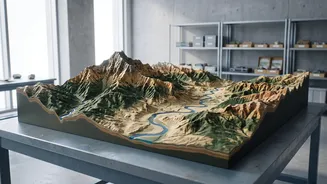
For a country like India, which frequently faces natural calamities like floods, cyclones, earthquakes, and landslides, the ability to predict and prepare is paramount. This is where hazard mapping becomes a life-saving tool. By analysing satellite data with GIS, experts can create detailed maps that identify which areas are most vulnerable to specific disasters. These maps can show potential flood inundation zones, unstable slopes prone to landslides, or coastal areas at risk from cyclones. This information allows authorities to implement better mitigation strategies, plan efficient evacuation routes, and deploy resources more effectively during an emergency, ultimately saving lives and property.
Who Can Enrol and How?
ISRO's IIRS outreach programmes are primarily targeted at undergraduate and postgraduate students from any year of their course. However, technical and scientific staff from government organisations, as well as faculty and researchers from universities, are also often eligible to apply. The courses are typically offered online through the IIRS e-learning platform, making them accessible to participants across India. Registration is done online through the official IIRS website, and since there are often a limited number of seats, they are filled on a first-come, first-served basis. Participants usually need a computer with a reliable internet connection to attend the live interactive sessions.
What Students Will Learn
The curriculum for these courses is comprehensive, covering the fundamentals of remote sensing, GIS, and Global Navigation Satellite System (GNSS). Students learn about topics like digital image analysis, different types of satellite data, and how to use various software to process this information. The courses often include practical demonstrations and case studies on how these technologies are applied in natural resource management, cryospheric studies, mineral targeting, and disaster management. Upon successful completion, which typically requires a minimum attendance and passing an online exam, participants receive a certificate from IIRS-ISRO, a valuable addition to their academic and professional profile.
Future-Proofing Careers with Space Tech
Gaining expertise in geospatial technologies opens up a wide array of career opportunities. Professionals with skills in remote sensing and GIS are in high demand in both the public and private sectors. Government agencies involved in disaster management, urban planning, environmental monitoring, and natural resource management are major employers. Additionally, private companies in sectors like infrastructure, agriculture technology, insurance, and logistics increasingly rely on geospatial data for their operations. These courses from ISRO not only provide valuable skills but also give students a competitive edge in a rapidly growing field, empowering them to contribute to building a more resilient and technologically advanced India.