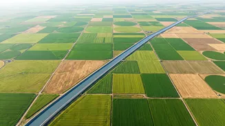


A Bird's-Eye View of the Farm
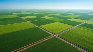
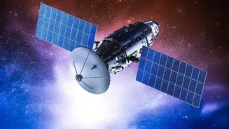
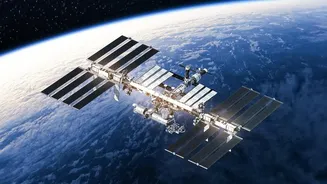
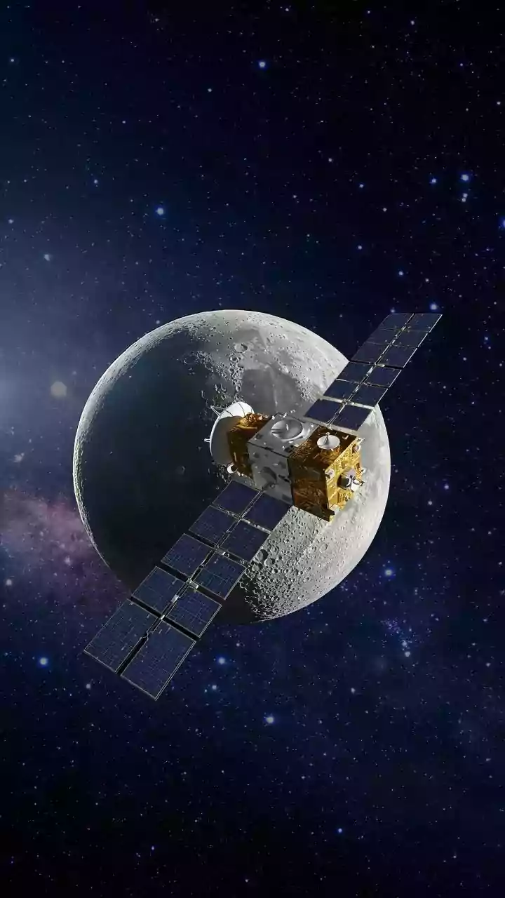
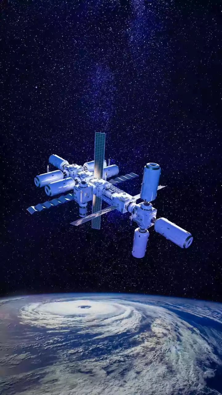
At its core, agricultural satellite technology uses remote sensing to capture information that the human eye cannot. Satellites equipped with advanced sensors measure the light reflected from crops and soil across different wavelengths. Healthy, thriving
vegetation, for example, reflects near-infrared light very differently than plants that are stressed, diseased, or lacking nutrients. This allows for a comprehensive health check-up of entire fields, or even entire regions, in a single pass. This 'spectral signature' provides a wealth of data on everything from crop vigour to soil moisture, moving analysis from guesswork to data-driven science. What once required months of manual field surveys can now be updated every few days, offering an unprecedented, near-real-time view of agricultural landscapes.
Precision in Every Field
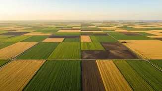
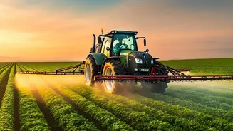
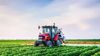
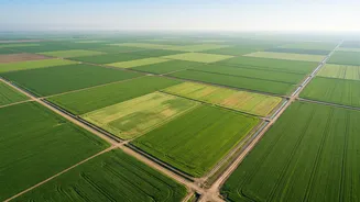
This wealth of data is the engine behind precision agriculture. Instead of treating a whole field uniformly, farmers can manage it at a sub-field level. Satellite-derived maps can pinpoint exactly which parts of a field are struggling. For instance, data can reveal nitrogen deficiencies or water stress in a specific corner, allowing a farmer to apply fertilisers or water only where needed. This targeted approach, known as variable-rate application, can reduce the use of inputs like fertilisers and pesticides by 15-30%. This not only cuts costs for the farmer but also minimises environmental impact by preventing chemical runoff. By moving from averages to specifics, satellite data helps optimise resource use for maximum efficiency and yield.
Forecasting Yields and Managing Risk
Beyond day-to-day management, satellite data is a powerful tool for forecasting and risk mitigation. By analysing vegetation health and growth patterns over a season, analysts can predict crop yields with increasing accuracy. This information is invaluable for everyone from individual farmers planning their harvest to government agencies managing national food security. Furthermore, continuous monitoring allows for the early detection of threats like pest infestations or disease outbreaks. Anomalies in crop growth patterns can be flagged weeks before they are visible on the ground, giving farmers crucial time to act and prevent widespread losses. This proactive capability is also transforming crop insurance, as satellite imagery can quickly verify damage from events like hailstorms or floods, speeding up claim settlements for affected farmers.
Empowering Farmers and Policymakers
The benefits of satellite technology extend from the individual farmer to the national level. In India, government initiatives are leveraging this data to drive agricultural policy. Programmes like FASAL (Forecasting Agricultural output using Space, Agro-meteorology and Land-based observations) use satellite inputs to generate crop forecasts, helping with strategic planning. In August 2024, the Indian government launched Krishi-DSS, a decision support system that integrates satellite imagery to provide real-time information on weather, soil health, and crop conditions. This data aids in everything from promoting crop diversification to disaster response. For farmers, particularly smallholders who make up a large portion of Indian agriculture, this technology can level the playing field, offering access to insights that were once only available to large-scale operations.
Overcoming the Hurdles to Adoption
Despite its immense potential, the widespread adoption of satellite technology in Indian agriculture faces challenges. One major hurdle is the usability barrier; raw geospatial data can be complex and difficult for farmers to interpret without expert help. Poor rural internet connectivity can also limit access to the platforms and apps that deliver these insights. Moreover, many of India's farms are small and fragmented, which can make analysis at a sub-field level technically challenging with lower-resolution imagery. The most successful implementations are those that hide the complexity, processing the satellite data on the back end and delivering simple, actionable advice to farmers in their local language through mobile devices. Building this last-mile connectivity and capacity among farmers remains a key priority.