


A Planet-Sized Weather Engine
When we look up at the monsoon clouds, we see a grey sheet, a source of welcome rain or disruptive floods. From space, however, satellites like India's INSAT series see a completely different picture. They reveal colossal systems of moisture, spanning
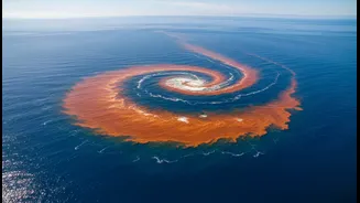
thousands of kilometres, swirling across oceans before making landfall. What appears to us as a local downpour is, in fact, the final act of a long journey. This perspective shows the monsoon not as a simple weather event but as a massive, heat-driven engine. The temperature difference between the rapidly heating Indian subcontinent and the cooler Indian Ocean creates a giant atmospheric pressure gradient, pulling in moisture-laden winds from the sea. This is the fundamental driver of the southwest monsoon, a phenomenon so large its true scale can only be appreciated from orbit.
The Unseen Rivers in the Sky
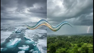
One of the most profound discoveries enabled by satellite observation is the existence of 'atmospheric rivers'. These are long, narrow corridors of concentrated water vapour that flow through the atmosphere, much like rivers on land. These celestial streams transport enormous quantities of moisture from the tropics, particularly the Arabian Sea and Bay of Bengal, towards the Indian landmass. When these moisture-laden flows encounter geographical features like the Western Ghats, they are forced upwards, cool, and release their water content as torrential rain. Many of India's most extreme rainfall events, including the devastating floods in Kerala in 2018 and Uttarakhand in 2013, have been linked to these intense atmospheric rivers. They are a key reason why rainfall is not just a local process; it’s the outcome of moisture being transported across continents.
Global Pulses That Dictate Our Rain
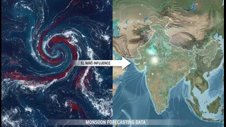
Beyond atmospheric rivers, satellites help track even larger, slower global signals that influence the monsoon's performance. One of the most critical is the Madden-Julian Oscillation (MJO), a massive, eastward-moving pulse of clouds and rainfall that circles the equator every 30 to 60 days. When the MJO is in an active phase over the Indian Ocean, it can enhance monsoon rainfall and aid the timely onset of the season. Conversely, when it moves over the Pacific, it can lead to a 'break' in the monsoon, causing dry spells over India. By monitoring the MJO, forecasters at the India Meteorological Department (IMD) can predict these wet and dry spells weeks in advance. These global patterns, invisible from the ground but clear from space, connect India's weather to atmospheric events happening halfway across the world.
India’s Eyes in the Sky
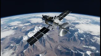
India is a major player in this space-based monitoring effort. The Indian Space Research Organisation (ISRO) operates a suite of advanced meteorological satellites, most notably the INSAT series (like INSAT-3D and INSAT-3DR), which provide continuous surveillance of the Indian subcontinent. These satellites carry imagers to track cloud development and sounders that measure vertical profiles of temperature and humidity through the atmosphere. This data is the backbone of modern weather forecasting in India. Furthermore, the joint NASA-ISRO Synthetic Aperture Radar (NISAR) mission is set to revolutionise this capability. Its advanced radar will be able to see through cloud cover day and night, providing incredibly detailed measurements of surface changes, soil moisture, and more—all critical for understanding the monsoon's impact.
From Data to Your Doorstep
This torrent of satellite data isn't just for scientists. It is processed and fed into complex numerical weather prediction models run by agencies like the IMD. The result is more accurate and longer-range forecasts that have a direct impact on daily life. For farmers, better predictions of the monsoon's onset and distribution mean they can time their planting to maximise yields. For disaster management authorities, early warnings about intensifying cyclones or extreme rainfall events allow for timely evacuations and preparedness, saving countless lives. For urban planners, understanding the increasing intensity of rainfall events, as revealed by these systems, informs how cities must adapt their infrastructure to cope with future climate realities. Each satellite image translates into better decisions on the ground, making society more resilient.