

A View from Above
Traditionally, farmers have relied on walking their fields to check on crops. While essential, this method has its limits, especially on large farms. It's time-consuming and easy to miss the early signs of trouble brewing in the middle of a vast field.
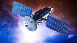
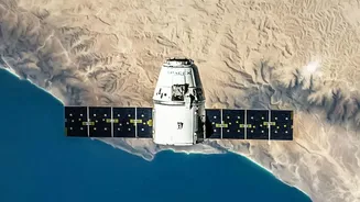
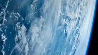
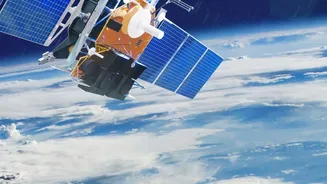
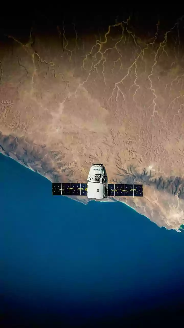
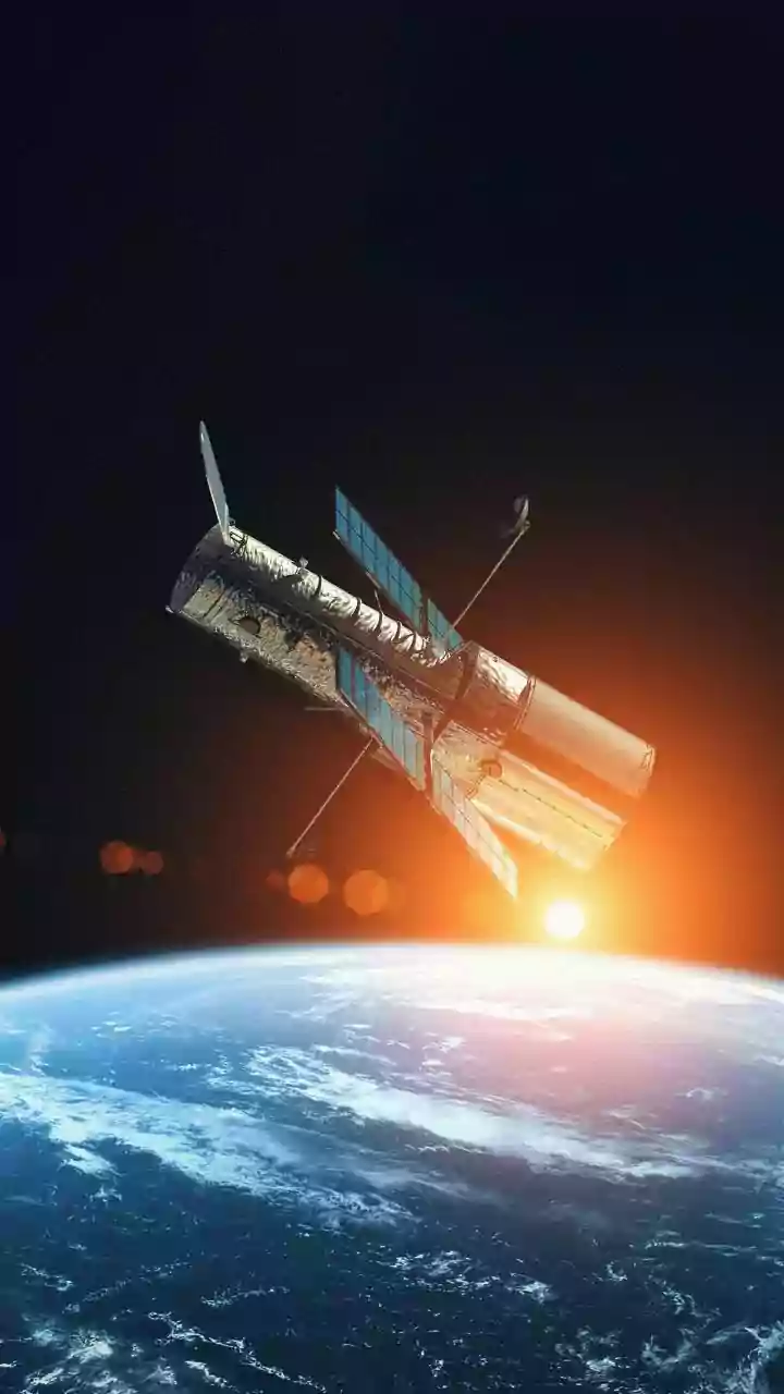
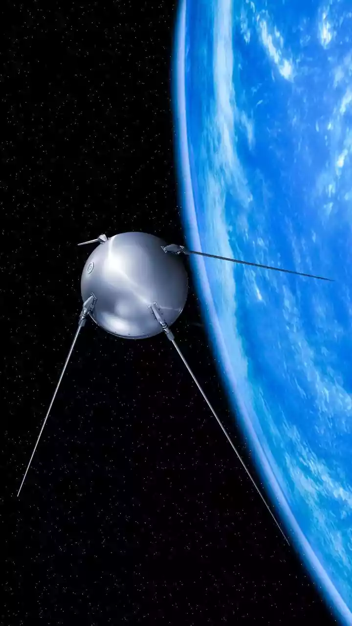
Satellites provide a solution by offering a comprehensive bird's-eye view. They can capture images of massive areas of land in a single pass, allowing farmers to monitor all their fields efficiently and spot variations that might indicate problems. This large-scale perspective is the first step in a data-driven approach to farming often called precision agriculture.
Seeing the Unseen
The real power of agricultural satellites lies in their ability to see beyond what the human eye can. They are equipped with advanced sensors that capture light beyond the visible spectrum, particularly near-infrared (NIR) light. Healthy, thriving plants are rich in chlorophyll, which absorbs visible red light for photosynthesis but strongly reflects NIR light. By comparing the reflectance of red and NIR light, scientists calculate a value called the Normalized Difference Vegetation Index, or NDVI. An NDVI map translates complex satellite data into a simple, color-coded guide to plant health, with high values indicating dense, healthy vegetation and low values flagging stress or sparse growth.
From Data to Decisions
NDVI maps provide farmers with actionable intelligence. Instead of treating an entire field uniformly, a farmer can use this data to practice precision agriculture. For example, an area with consistently low NDVI values might be suffering from a nutrient deficiency, a pest infestation, or water stress. Armed with this knowledge, a farmer can investigate the specific zone instead of scouting the entire property. This allows for targeted interventions, such as applying fertilizer or pesticides only where needed, a practice known as variable-rate application. This not only saves money on inputs but also significantly reduces the environmental impact of farming.
Boosting Yields and Sustainability
The ultimate goal of using satellite technology is to create a more efficient, productive, and sustainable farming operation. By optimizing the use of water, fertilizers, and other resources, farmers can lower their costs and reduce waste. Early detection of issues like crop diseases or pests allows for quicker treatment, minimizing potential yield losses. Furthermore, satellites help in yield prediction by analyzing crop health and growth throughout the season, which is valuable information for planning harvests and marketing. This data-driven approach helps farmers grow more with less, enhancing profitability while promoting environmentally friendly practices.
Managing Risk and Weather
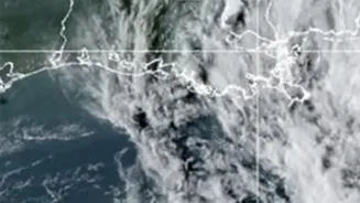
Farming is inherently vulnerable to the weather. Satellites provide critical data for managing these risks. They track weather patterns over large regions, giving farmers advance warning of potential droughts or floods. Rainfall assessments from orbit can help in planning irrigation schedules more effectively. In the event of an extreme weather event like a hailstorm or flood, satellite imagery can quickly assess the extent of the damage across a wide area. This information is vital not just for the farmer but also for insurance agencies and government bodies involved in disaster response and support.