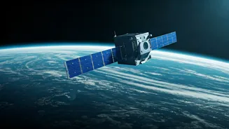


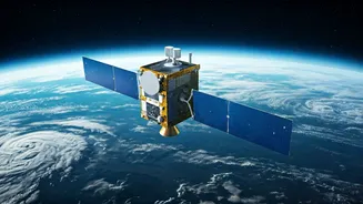


The Climate Sentinels: Europe’s Copernicus
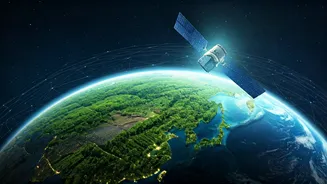
Imagine a comprehensive health check-up for the entire planet. That’s the mission of the Copernicus programme, led by the European Space Agency (ESA). Its family of 'Sentinel' satellites forms the most ambitious Earth observation project in history. Sentinel-1
uses radar to see through clouds and darkness, tracking sea ice and oil spills. Sentinel-2 provides high-resolution optical images, perfect for monitoring land use and the health of forests. Sentinel-3 measures our oceans with incredible precision, tracking sea-surface temperature and height, which are critical indicators of climate change. The data from Copernicus is free and open to everyone, empowering scientists, governments, and even businesses to make informed decisions about our changing environment. When you hear about rising sea levels or the scale of Amazon deforestation, chances are the data came from one of these vigilant European satellites.
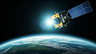
India’s Eyes in the Sky: ISRO’s Constellation
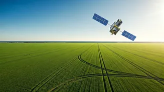
India is a world leader in Earth observation, and ISRO’s constellation of remote sensing satellites is the backbone of the nation's planning and development. The Cartosat series, often called India's 'eye in the sky,' provides high-resolution imagery crucial for urban planning, infrastructure monitoring, and national security. The Resourcesat satellites are vital for managing the country’s natural resources, helping to map agricultural land, monitor water bodies, and predict crop yields, which directly impacts millions of farmers. During natural disasters like cyclones and floods, which frequently affect the subcontinent, data from ISRO’s satellites (like the INSAT series) is indispensable. It enables accurate weather forecasting, helps authorities plan evacuations, and allows for rapid damage assessment, saving countless lives and livelihoods. This homegrown capability ensures India has the data it needs to manage its unique challenges.
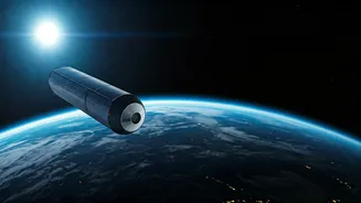
The Original Earth-Watcher: NASA’s Landsat
Before any of the others, there was Landsat. A joint program between NASA and the U.S. Geological Survey, the first Landsat satellite was launched in 1972. It revolutionised how we see our own planet. For over 50 years, the Landsat program has provided the longest continuous record of Earth’s surface as seen from space. This unbroken archive is a scientific treasure, allowing researchers to track long-term changes like urban sprawl, glacial retreat, and the impact of deforestation over decades. Every image of Earth you see on Google Earth has its roots in the technology pioneered by Landsat. Its data has been used in more than 18,000 scientific papers, underpinning our modern understanding of geography, geology, and environmental science. The latest in the series, Landsat 9, continues this critical mission, ensuring this vital historical record continues for generations to come.
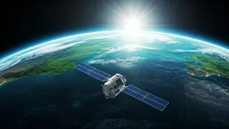
The Commercial Swarm: Planet Labs & Maxar
While government agencies built the foundation, a new revolution is happening in the private sector. Companies like Planet Labs and Maxar have deployed massive constellations of smaller, cheaper satellites. Planet Labs operates a swarm of hundreds of 'Doves' that are capable of imaging the entire landmass of Earth every single day. This unprecedented frequency allows for near-real-time monitoring of everything from supply chains and port activity to illegal mining operations. Maxar's high-resolution satellites provide stunningly detailed images that are used by news organisations to verify events in conflict zones, by insurance companies to assess disaster damage, and by tech companies to build better maps. This commercial boom has democratised access to satellite imagery, bringing the power of Earth observation out of the exclusive realm of space agencies and into the hands of journalists, NGOs, and businesses worldwide.