





Introducing the Prithvi Models
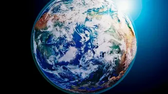
At the forefront of this technological shift is a family of AI systems developed through a collaboration between NASA and IBM, known as the Prithvi models. These are not just any AI; they are 'foundation models,' a cutting-edge approach where an AI is trained
on vast amounts of unlabeled data, allowing it to learn the fundamental patterns of a system. The main geospatial model, trained on over a decade of NASA satellite imagery, can be adapted for a wide variety of Earth-monitoring tasks. Think of it less like a specialized tool and more like a brilliant, self-taught expert on Earth's processes that can then be quickly trained for specific jobs like spotting floodwaters or tracking deforestation.
Taming the Data Deluge
For decades, NASA has faced a monumental challenge: data overload. The agency's archives currently hold around 180 petabytes of Earth science data, a figure expected to surge to over 600 petabytes by the early 2030s. One petabyte is equivalent to about 500 billion pages of standard printed text. Sifting through this digital mountain for useful information has been a massive bottleneck for scientists. The new AI foundation models are designed to solve this very problem. By processing complex satellite imagery and climate data at incredible speeds, they can identify patterns and connections that would take humans years to find, shrinking the time between data collection and actionable insight.
From Orbit to Actionable Insights
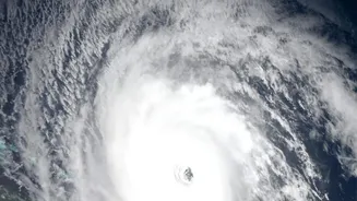
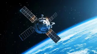
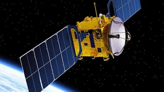
The true power of these models lies in their real-world applications. In May 2026, a version of the Prithvi model became the first geospatial foundation model to be deployed in orbit, running on platforms aboard the International Space Station and another satellite. This allows for data analysis to happen directly in space, before the information even touches the ground. This capability promises to dramatically speed up response times for natural disasters. For example, the models can be fine-tuned to map flood plains during a hurricane, identify burn scars from wildfires, or predict crop yields with greater accuracy. One early user even adapted the model to predict locust breeding grounds in Africa, a task they had struggled with for years.
A New Era for Climate Science
Beyond disaster response, these AI models are poised to enhance our understanding of long-term climate change. By analyzing decades of information on greenhouse gases, clouds, and ice sheets, the AI can help create more reliable and higher-resolution climate projections. One model in the Prithvi family focuses specifically on weather and climate, aiming to improve forecasts for everything from severe storms to seasonal patterns. This could help communities better prepare for and mitigate the impacts of a changing climate. These AI tools essentially act as a powerful translator, turning raw satellite data into clear, specific knowledge about how our world is evolving.
Open Science and the Road Ahead
Crucially, NASA and its partners have made these powerful models open source, meaning the code is available for anyone to use and build upon. This democratic approach aims to accelerate scientific discovery by putting state-of-the-art tools into the hands of researchers, companies, and organizations worldwide. The journey is not without challenges, including adapting the models to handle diverse and complex datasets. Recently, concerns over potential US funding cuts for climate science prompted researchers in Switzerland to copy 100 petabytes of NASA data onto a European supercomputer to ensure this vital information remains available for training future AI models. This move underscores the global importance of the data fueling this AI revolution.