







A New Partnership in Orbit
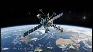
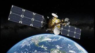
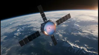
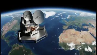
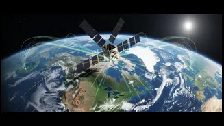
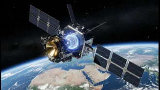
The NASA-ISRO Synthetic Aperture Radar, or NISAR, represents a landmark collaboration in space. Launched in July 2025, it is the first satellite mission to be jointly developed for Earth observation by the US and Indian space agencies. NASA provided the L-band
radar, a high-rate communication system, and other critical components, while ISRO contributed the S-band radar, the main satellite structure, and the launch vehicle. This partnership has resulted in what is likely the most expensive Earth-imaging satellite ever built, with a total cost of around $1.5 billion. The mission's goal is to systematically map our planet, making all data freely available to the public to spur scientific discovery and practical applications.
Seeing with Two Kinds of Radar
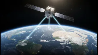
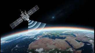
What makes NISAR a game-changer is its unique ability to see the world in two different radar frequencies at once: L-band and S-band. Think of it like having two specialised types of vision. This dual-frequency capability is a first for a satellite of this kind. Radar works by sending out microwave signals and reading the echoes that bounce back, creating detailed images regardless of clouds or darkness. The L-band, with its longer wavelength, can penetrate through forest canopies to see the ground and vegetation structure beneath. The shorter S-band is excellent for observing things like soil moisture and the dynamics of agricultural crops. Together, they provide a comprehensive, multi-layered view of the Earth's surface that is far more detailed than what either frequency could achieve alone.
What This New Vision Unlocks
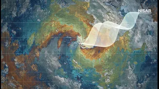
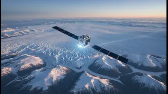
With its ability to scan nearly the entire planet every 12 days, NISAR is producing a time-lapse movie of Earth's surface in unprecedented detail. It can detect changes as small as a centimeter, allowing scientists to track a vast range of phenomena. This includes the subtle ground movements that precede earthquakes and volcanic eruptions, the shifting of glaciers and ice sheets contributing to sea-level rise, and changes in groundwater levels from extraction. For agriculture, it provides invaluable data on crop health and soil moisture, crucial for food security. NISAR can also measure forest biomass to monitor deforestation and carbon storage, and track the impact of landslides and floods. The mission has already produced detailed maps showing land subsidence in Mexico City and provided data on agricultural patterns.
A Revolution for Science and Safety
The implications of NISAR's data are profound, not just for science but for disaster management and public safety. By providing rapid, all-weather imaging of disaster zones, the satellite can help authorities respond more effectively to earthquakes, floods, and landslides. The mission has a mandate to expedite data delivery in emergencies. For India, the data is particularly vital for monitoring the geologically active Himalayas, managing water resources, and tracking the monsoon's impact on agriculture. By creating a baseline of Earth's surface, scientists can more accurately forecast and assess the impacts of climate change and other environmental pressures. The open-data policy ensures that researchers, governments, and innovators worldwide can use this information to build tools and make decisions that protect lives and infrastructure.