

An Eye in the Sky Like No Other
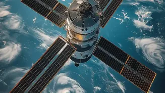
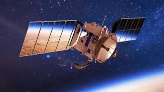
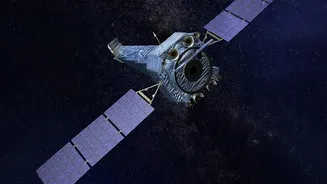
NISAR is a joint mission between the Indian Space Research Organisation (ISRO) and the U.S. National Aeronautics and Space Administration (NASA), making it a landmark collaboration. At its heart is a sophisticated technology called Synthetic Aperture
Radar, or SAR. Unlike a regular camera that needs light, SAR sends out microwave signals to Earth's surface and reads the echoes that bounce back. This allows it to “see” through clouds, rain, and the dark of night, providing an uninterrupted view of our planet. What makes NISAR truly unique is that it’s the first satellite to use two different radar frequencies (L-band and S-band). This dual-frequency capability allows it to observe a wide range of Earth’s processes, from the top of a forest canopy to the soil moisture underneath. The satellite will scan the entire globe every 12 days, creating an incredibly detailed and consistent map of changes happening on our land and ice surfaces.
A Treasure Trove of Open Data
Traditionally, high-resolution satellite data has been expensive and difficult to access, limiting its use to a small number of well-funded government agencies and research institutions. The NISAR mission completely flips this model on its head. In a game-changing move, the vast amounts of data collected by NISAR will be free and open to the public. Sample data products have already been released to help the user community prepare. NASA and ISRO are providing tools and portals, like Earthdata and Bhoonidhi, to make searching for and downloading this information straightforward. This policy means that anyone with an internet connection—from a university student in a small town to a startup developing agricultural tech—can access the same high-quality data that was once the exclusive domain of top-tier space agencies. This move is designed to spur innovation and democratize science on a global scale.
Powering the Next Generation of Climate Experts
The headline's promise of bringing climate data training into the main story is rooted in this open-access policy. With terabytes of new data becoming available, there is a massive opportunity for education and skill development. NASA has already been conducting training workshops on how to use NISAR data for various applications, such as flood detection and disaster risk assessment. For India, this is particularly significant. Universities and research institutes can now integrate real-world, cutting-edge satellite data into their curriculum. Students studying geology, environmental science, and agriculture can learn to analyze SAR imagery to monitor glacier melt in the Himalayas, track deforestation, or predict crop yields. This hands-on experience is invaluable for training a new generation of scientists and policymakers who are fluent in the language of climate data and equipped to tackle India’s unique environmental challenges.
Real-World Impact for India
The applications for NISAR's data are vast and deeply relevant to India. The satellite's ability to detect tiny changes in the Earth's surface—as small as a centimeter—will be revolutionary for disaster management. It can provide early warnings for landslides in hilly regions, monitor land subsidence in urban areas due to groundwater extraction, and track ground deformation that might signal volcanic or earthquake activity. For agriculture, a cornerstone of the Indian economy, NISAR will offer unprecedented insights into soil moisture and crop health, helping to improve water management and food security. It will also enable precise monitoring of India's long coastline, its critical river systems like the Ganga, and fragile ecosystems. This flow of information will empower authorities to make better, data-driven decisions to protect lives, infrastructure, and natural resources.