

First, What is SAR Technology?
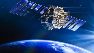
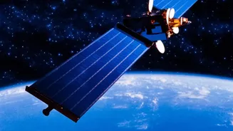
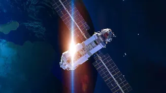
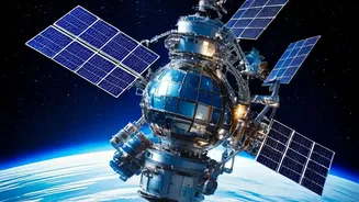
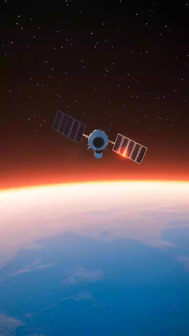
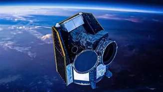
Before diving into the course, let's break down its core subject: Synthetic Aperture Radar, or SAR. Think of it as a satellite's superpower. Unlike a standard camera that needs light and clear skies, SAR is an active sensor. It sends its own microwave
pulses down to Earth and creates an image from the signals that bounce back. This means it can 'see' through clouds, rain, fog, and even in complete darkness. This all-weather, day-and-night capability is what makes SAR so valuable for observing our planet. The 'synthetic aperture' part is a clever trick: by using the satellite's motion, it can simulate a much larger antenna than it physically has, allowing it to capture incredibly detailed images from orbit.
ISRO's Gateway for Students
ISRO, primarily through its prestigious Indian Institute of Remote Sensing (IIRS) in Dehradun, regularly offers free online courses for students and professionals. These are often delivered as Massive Open Online Courses (MOOCs), making them accessible to a wide audience. One of the key offerings has been a course focused on “SAR Data Processing and its Applications.” These programs are designed to build capacity in geospatial technology and remote sensing. They aim to equip the next generation of scientists and engineers with the skills needed to work with data from India's own constellation of radar imaging satellites, like the RISAT series, and the landmark NASA-ISRO SAR (NISAR) mission.
What Will You Actually Learn?
The curriculum for these courses is designed to be comprehensive. Students typically start with the fundamentals of microwave remote sensing before moving into the specifics of SAR technology. Key topics often include understanding the principles of SAR data acquisition, processing techniques, and exploring polarimetry and interferometry, which are advanced methods to extract more information from the radar signals. The real highlight is the focus on applications. Participants get hands-on training with real-world case studies and learn to use specialised software to analyse SAR data. The study material is rich, often including video lectures, detailed notes, and animations to simplify complex concepts.
Turning Knowledge into Action
The applications of SAR are vast and critically important for a country like India. Course participants learn how this technology is used for disaster management, such as mapping flood-inundated areas or tracking landslides. It plays a crucial role in agriculture by monitoring crop health and soil moisture, and in environmental science by observing deforestation, melting glaciers, and coastal changes. The upcoming NISAR mission, a joint project between NASA and ISRO, is set to revolutionise this field by mapping the entire globe every 12 days, providing unprecedented data on earthquakes, volcanic activity, and climate change impacts. Learning to work with SAR data places students at the forefront of tackling these major challenges.
Who Can Apply and How?
These courses are generally targeted at undergraduate and postgraduate students in fields like science and engineering, as well as researchers and professionals already working in relevant sectors. The specific eligibility can vary for each course announcement. For instance, some advanced, in-person workshops may be for Indian nationals with prior remote sensing experience, while online MOOCs are often open to a broader student base. The application process is straightforward and conducted online through the IIRS or ISRO websites. Aspiring participants should keep a close watch on the official ISRO and IIRS portals, as these courses are announced periodically throughout the year. Upon successful completion, students often receive a certificate from ISRO, a valuable addition to any CV.