






An Unblinking Eye on the Weather
For millions of Indians, from farmers awaiting the monsoon to coastal communities in the path of a cyclone, timely weather information is a lifeline. ISRO's geostationary satellites, most notably the Indian National Satellite (INSAT) series, are the backbone
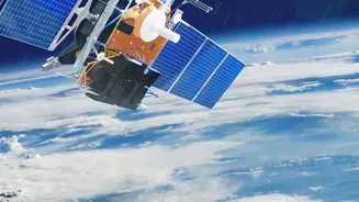
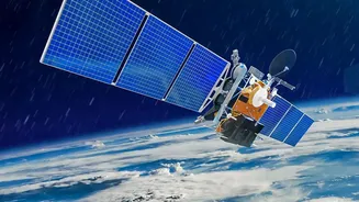
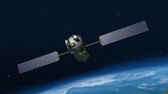
of this critical service. Positioned in a high orbit approximately 36,000 kilometres above the Earth, satellites like INSAT-3D and INSAT-3DR remain fixed over the Indian subcontinent. This allows them to provide a continuous stream of data, day and night. They are equipped with sophisticated imagers and sounders that measure cloud cover, temperature, humidity, and sea surface conditions. This data is relayed to the India Meteorological Department (IMD), enabling forecasters to issue warnings for cyclones, storms, and floods with remarkable accuracy and lead time. The system can generate weather updates for the entire country as frequently as every 15 minutes, providing the 'nonstop' coverage essential for disaster management and saving countless lives.
The All-Weather Guardian at the Borders
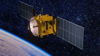
While the INSAT series watches the weather, another critical constellation focuses on national security. The Radar Imaging Satellite (RISAT) series acts as India's 'eyes in the sky' for surveillance. Unlike optical satellites that are blinded by clouds, fog, or darkness, RISAT satellites use Synthetic Aperture Radar (SAR). This powerful technology sends out its own microwave signals and reads the echoes that bounce back, effectively creating a detailed image of the ground regardless of weather or time of day. Operating in a lower orbit, these satellites can capture high-resolution imagery capable of detecting subtle changes on the ground. This capability is vital for monitoring sensitive border areas with China and Pakistan, tracking troop movements, identifying infiltration attempts, and supporting counter-terrorism operations. The RISAT series provides the armed forces with a reliable and persistent surveillance tool, ensuring that our borders are watched over 24/7.
A New Generation of Hybrid Sentinels
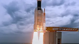
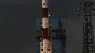
Bridging the gap between weather monitoring and high-altitude surveillance is ISRO's next frontier: the Geo-Imaging Satellite (GISAT). This new class of satellite represents a significant leap forward by placing powerful imaging instruments in a geostationary orbit. While RISAT provides high-resolution snapshots as it orbits, a satellite like the upcoming EOS-05 (also known as Gisat-1A) will hover over India, providing near real-time, continuous video and images of the entire subcontinent. This 'persistent gaze' is a game-changer for both civilian and military applications. It allows for the constant tracking of rapidly developing events like cyclones, forest fires, and floods, while also enabling round-the-clock observation of strategic locations and border regions. After a previous attempt failed during launch in 2021, the successful deployment of this technology will mark a major milestone, combining the broad, constant coverage of weather satellites with the sharp imaging needed for security surveillance.
A Symbol of Self-Reliance
This dual-use capability is a testament to ISRO's ingenuity and a cornerstone of India's strategic autonomy. By developing and deploying this technology indigenously, India reduces its reliance on foreign nations for critical data. Whether it is providing a fisherman with a cyclone warning via a distress alert transmitter, helping a farmer plan their crops with monsoon forecasts, or giving the military a clear view of a sensitive border, ISRO's satellite network is an integrated system working to secure the nation. The data flows from space to various agencies on the ground, empowering decision-makers in disaster management authorities, agricultural departments, and the defence forces. This space-based infrastructure is more than just technology; it is a vital national asset that underpins India's safety, security, and development in the 21st century.