





The Big Picture from Orbit
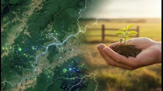
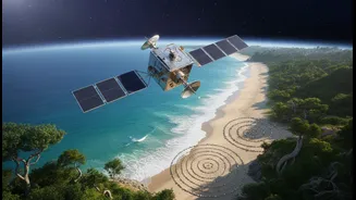
For decades, space-based technology has been a cornerstone of climate science. Earth-observation satellites provide a continuous, birds-eye view of our planet, tracking large-scale changes with incredible precision. These eyes in the sky measure the retreat
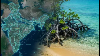
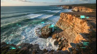
of Himalayan glaciers, monitor the health of vast mangrove forests in the Sundarbans, and map the steady rise of sea levels along India's 7,500-kilometre coastline. This satellite data gives us the 'what' of climate change—the hard numbers and visual evidence of a planet in flux. It can spot hotspots of coastal erosion, predict the path of cyclones with greater accuracy, and assess the extent of drought. However, this high-tech perspective has its limits. Satellites can show that a forest is shrinking, but they can't always explain why, or what the cultural and economic impact is for the communities who depend on it.
Generations of Ground Truth
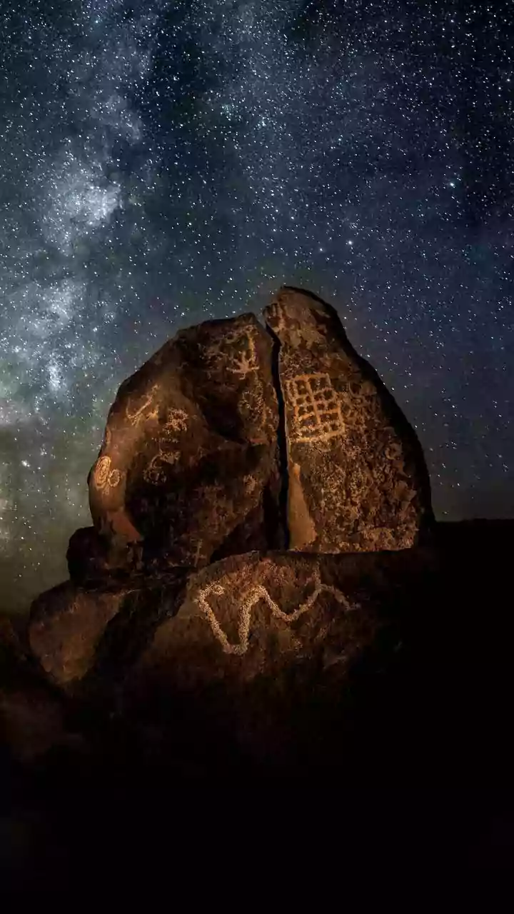
This is where traditional ecological knowledge (TEK) comes in. TEK is the cumulative body of knowledge, practices, and beliefs evolved by indigenous and local communities over generations of direct interaction with their environment. Far from being mere folklore, this is a sophisticated, hyper-local dataset. It’s the farmer in Rajasthan who knows which resilient crops to plant based on subtle shifts in pre-monsoon winds, or the fishing communities in Kerala who can detect changes in water salinity by the type of fish they catch. This knowledge system, passed down through stories and cultural practices, provides a deep, nuanced understanding of an ecosystem that satellite data alone cannot capture. It offers context, history, and a record of how communities have successfully adapted to environmental changes for centuries.
A Powerful Synthesis in Action
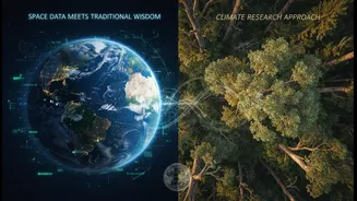
The new frontier in climate research lies in blending these two powerful systems. Scientists are increasingly partnering with local communities to create a richer, more complete picture. For example, satellite imagery can confirm that sea ice is thinning, but Inuit hunters have long been able to identify which specific areas are becoming unsafe weeks before the data reflects it. In India, this hybrid approach is gaining traction. The government's Integrated Coastal Zone Management (ICZM) initiatives are beginning to layer scientific GIS data with community-provided information to create more effective plans. In the Eastern Himalayas, global climate models show accelerated warming, but it's the indigenous communities who understand the direct impact on specific river basins and monsoon patterns, knowledge that is crucial for creating workable adaptation strategies. This synthesis works both ways: satellite data can validate and scale up local observations, while local knowledge gives meaning and direction to the high-level data.
Building Bridges, Not Just Models
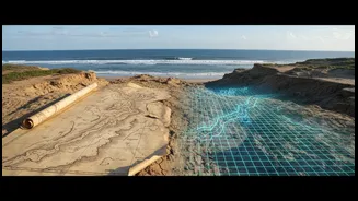
This collaboration is not without challenges. It requires building trust between scientists and communities, ensuring that traditional knowledge is respected and not simply extracted, and navigating issues of intellectual property. However, the benefits are transformative. Climate models become more accurate, and adaptation strategies become more effective and culturally appropriate. When Adivasi women in Odisha create “dream maps” comparing their current landscape to their ancestral memory, they are not just telling stories; they are creating a powerful dataset that helps them advocate for better land and water management in a changing climate. This approach empowers communities, recognising them not as passive victims of climate change, but as active partners and experts in finding solutions.