



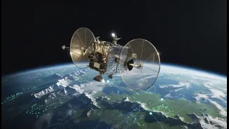




Meet NISAR: A New Eye in the Sky
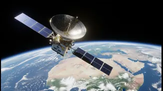
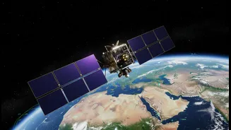
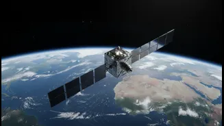
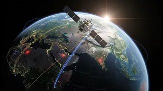
NISAR, which stands for NASA-ISRO Synthetic Aperture Radar, is an advanced Earth-observing satellite. It is the result of a powerful collaboration between the Indian Space Research Organisation (ISRO) and the US National Aeronautics and Space Administration
(NASA). Launched aboard an Indian GSLV rocket, this mission represents one of the most significant and expensive joint ventures in space exploration, with a cost estimated at over $1.5 billion. Its primary goal is to scan and monitor the Earth’s land and ice surfaces with remarkable detail, capturing changes that might otherwise go unnoticed. The satellite will orbit the planet every 12 days, creating a comprehensive and regularly updated map of our world's dynamic processes.
The Power of Seeing Differently
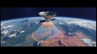
What makes NISAR so special is its technology. Unlike standard cameras that rely on light, NISAR uses Synthetic Aperture Radar (SAR). Think of it as a form of celestial echolocation; the satellite sends out a microwave signal and reads the echo that bounces back. This allows it to “see” through clouds, darkness, and even dense forests, providing a consistent, all-weather view of the planet, day or night. Even more impressively, NISAR is the first mission to use two different radar frequencies—L-band and S-band—simultaneously. This dual-frequency capability allows it to gather different types of information at once. The longer L-band waves can penetrate vegetation to see the ground beneath, while the shorter S-band waves are excellent for observing things like soil moisture and agricultural crops.
A Landmark India-US Partnership
The NISAR mission is a shining example of international cooperation. Under the agreement, NASA provided the L-band radar system, a massive 12-metre-wide mesh antenna, and high-rate communication systems for the data. ISRO, in turn, developed the satellite's main structure (the bus), the S-band radar, and handled the launch from the Satish Dhawan Space Centre in Sriharikota. This collaboration leverages the strengths of both agencies to create a tool more powerful than either could have built alone. It’s being hailed as a defining moment in India-US space relations, a “scientific handshake” that underscores a shared commitment to using technology for global welfare.
What NISAR Means for India
For India, NISAR’s capabilities are particularly vital. The satellite's data will be invaluable for monitoring the country's vast and varied landscape. It will provide crucial information for managing natural hazards, from tracking ground deformation in the earthquake-prone Himalayan region to monitoring landslide risks. The S-band radar, contributed by ISRO, is specifically tailored to meet India’s needs, such as tracking the health and extent of agricultural crops, monitoring soil moisture for better water management, and observing changes along India's extensive coastline. This data will help improve disaster response, secure food and water resources, and aid in urban and agricultural planning.
A Global Tool for a Changing Planet
Beyond its direct benefits to India and the US, NISAR is a gift to the world. The mission will generate a staggering amount of data—enough to fill about 150 hard drives every day. In a landmark move, all of this data will be made freely and openly available to the global scientific community and the public, often within just one or two days of being collected. This open-data policy will empower researchers everywhere to study climate change by tracking melting glaciers and ice sheets, monitor deforestation, understand volcanic activity, and respond more effectively to natural disasters like floods and tsunamis. By detecting changes in the Earth's surface as small as a centimetre, NISAR offers a powerful new resource in the effort to build a more sustainable and resilient future.