






The Sobering Reality of Urban Flooding
Bengaluru's struggle with waterlogging is not new, but recent studies and events paint a stark picture for homebuyers. Unchecked urbanisation has led to a dramatic loss of the city's natural drainage systems. According to researchers at the Indian Institute
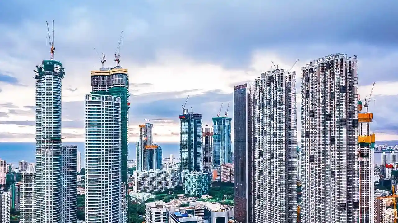
of Science, Bengaluru has seen a 1,055% increase in built-up area over the last few decades, while losing 79% of its water bodies and 88% of its green cover. This rapid, often unplanned, development has seen apartment complexes and commercial buildings constructed on former lake beds and crucial stormwater drains, known as 'rajakaluves'. The result is that when heavy rains lash the city, water has nowhere to go, leading to severe flooding in areas that may look perfectly dry and stable during other seasons. Studies by institutions like the Institute for Social and Economic Change have identified numerous flood-prone junctions and residential areas, including hotspots in the east of the city like Bellandur, Marathahalli, and Whitefield, which have repeatedly faced inundation.
An Information Black Hole for Buyers
Despite the clear and present danger, prospective homebuyers are often left in the dark. There is currently no mandatory, standalone requirement for real estate developers under the Real Estate (Regulation and Development) Act, or RERA, to disclose a property's flood risk or waterlogging history. While RERA mandates the disclosure of project plans and legal paperwork, the specific vulnerability to flooding is a detail that buyers must investigate themselves. This information gap is fueled by a lack of easily accessible, consolidated data. While information may exist across various government websites—like the BBMP, Revenue Department, or Karnataka State Natural Disaster Management Centre—it is often fragmented and difficult for a layperson to interpret. This forces buyers to rely on the seller's word or a sunny-day site visit, which can be dangerously misleading.
The Financial and Personal Cost of Flooding
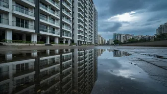
The consequences of purchasing a home in a flood-prone area extend far beyond inconvenience. Financially, such properties can become toxic assets. Resale value in repeatedly flooded pockets of Bengaluru has been seen to drop by 10 to 25 percent compared to similar, non-flooded properties. Beyond the asset depreciation, residents face recurring costs from damage to vehicles, especially in flooded basement parkings, and ground-floor homes. The personal toll is also immense, with residents facing evacuation, health hazards from contaminated water, and the constant stress of potential inundation every monsoon. Access itself becomes a major issue, with key roads turning into impassable rivers, cutting off communities for hours or even days.
Your Flood Risk Due Diligence Checklist
Given the lack of formal disclosures, the onus is on the buyer to conduct thorough due diligence. Here are essential steps to take before investing: 1. Check Official Maps: Use online portals to check for proximity to water bodies. The BBMP's GIS portal and citizen-led initiatives like rajakaluve.org can help you see if the property is near a stormwater drain or on a former lake bed. 2. Review Historical Satellite Imagery: Use tools like Google Earth Pro to view historical images of the area, specifically from past monsoon seasons. This can reveal patterns of water accumulation that are not visible on a dry day. 3. Talk to the Neighbours: Speak with people already living in the area or even the specific building. Ask them directly about their experiences with waterlogging, basement flooding, and road access during heavy rains. 4. Visit During the Monsoon: Nothing beats a real-world check. If possible, visit the property and its surrounding area immediately after a heavy downpour to see how the drainage holds up. 5. Hire a Professional: Engage a lawyer and a technical expert to conduct a thorough due diligence check. They can navigate complex land records, check for buffer zone violations, and provide an objective assessment of the risk. 6. Scrutinise the Documents: Ask for the survey number, layout approval, and khata certificate. Cross-reference this information with official drain maps to ensure the property is legally sound and not on encroached land.