






Two Worlds of Knowledge, One Goal
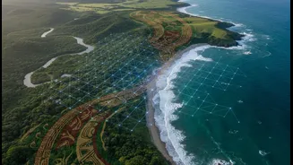
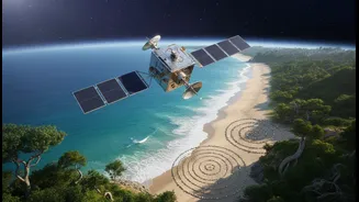
On one hand, you have the view from space. Satellites provide a wealth of data, tracking shoreline changes, sea-level rise, and the health of coastal ecosystems like mangroves with incredible precision. This data is quantitative, covering vast areas and providing
a crucial big-picture view of environmental shifts. On the other hand, you have Traditional Ecological Knowledge (TEK), a deep, nuanced understanding of the local environment passed down through generations. Indigenous coastal communities can read the waves, understand the subtle signs of a changing season, and know which mangrove species are most resilient. This knowledge is hyper-local, qualitative, and rich with historical context that satellite data alone cannot capture. For years, these two systems operated in separate worlds. Now, faced with the urgent threat of climate change, they are being woven together to create a more effective approach to coastal management.
Why This Partnership is Crucial for India
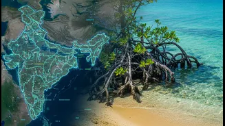
India's 7,500-kilometre coastline is home to millions of people whose lives and livelihoods are directly threatened by stronger storms, rising sea levels, and saltwater intrusion. Historically, climate adaptation has often focused on building concrete structures, an expensive and sometimes ineffective strategy. There is a growing recognition that nature-based solutions, guided by community involvement, are often more sustainable and cost-effective. Projects across states like Odisha, Andhra Pradesh, and Maharashtra are now pioneering a new model. This approach integrates ecosystem restoration, such as reviving mangrove forests that act as natural buffers against storm surges, with the active participation of the communities who depend on them. By involving local people, particularly women, these initiatives not only restore the environment but also build social and economic resilience.
From Data to Action on the Ground
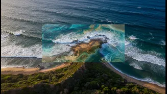
So, how does this fusion work in practice? Imagine a scenario where satellite images show a particular stretch of coastline is eroding rapidly. Researchers can bring this data to the local fishing community. The elders in the community might then point out that this specific area was once a dense mangrove forest, lost decades ago. Their oral history provides the 'why' behind the satellite's 'what'. This shared understanding can then lead to a community-driven mangrove restoration project. The community provides the local knowledge on where to plant and how to nurture the saplings, while technology helps monitor the project's success. The satellite data becomes evidence that community leaders can use to advocate for policy changes or funding, turning their local observations into a powerful tool for planning and governance. This transforms them from passive victims of climate change into active agents of their own resilience.
More Than Just Evidence: Building Trust and Empowerment
The benefits of this collaboration extend far beyond data collection. For many Indigenous communities, their traditional knowledge has often been dismissed as anecdotal or unscientific. When this knowledge is combined with and validated by scientific data, it leads to a profound sense of empowerment and recognition. It builds trust between researchers and local communities, fostering a genuine partnership where both are seen as experts in their own right. In Maharashtra, for example, the formation of Mangrove Co-management Committees (MCMC) brings together community members and the forest department to jointly manage conservation efforts. These structures not only help restore ecosystems but also create new, climate-resilient livelihood opportunities like crab farming or seaweed cultivation, reducing the community's vulnerability to climate shocks.