



A Shared Geography of Rivers
The geography of the Indo-Gangetic plain means that many of Uttar Pradesh's major rivers originate in the Himalayas and flow through Nepal before entering India. Key among these are the Ghaghara (known as Karnali in Nepal), the Sharda (or Mahakali), and the Gandak
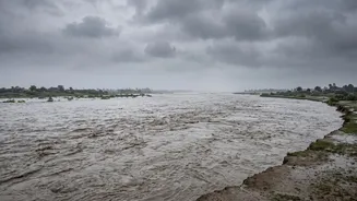
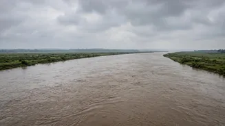
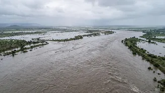
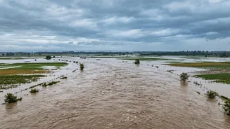
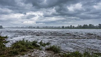
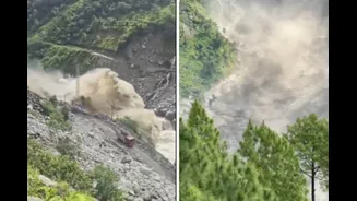
(Narayani). When Nepal experiences extreme rainfall or events like glacial lake outbursts, a massive volume of water surges downstream. This water naturally follows the course of these rivers, crossing the international border and inundating the flat, low-lying plains of Uttar Pradesh's Terai region. A flash flood in Nepal's Rasuwa district, reportedly triggered by a surge of water from Tibet, has created the most recent crisis, causing a sudden rise in the Bhote Koshi and Trishuli rivers which feed into the Gandak.
Which Districts Are on High Alert?
Following the latest disaster in Nepal, the Uttar Pradesh government has sounded a high alert, particularly for districts in the eastern part of the state. Chief Minister Yogi Adityanath has specifically directed the administrations of Maharajganj, Kushinagar, and Deoria to remain vigilant and ensure all preparations are complete. These districts are primarily threatened by the Gandak river system. In Kushinagar, the administration has already ordered evacuations from several vulnerable villages. Other districts that are traditionally vulnerable and are being monitored include Bahraich, along the Ghaghara river, and Lakhimpur Kheri, which is affected by the Sharda. The Sashastra Seema Bal (SSB), which guards the border, has alerted all its formations and deployed rescue and relief teams in these sensitive areas.
The Role of Barrages and Treaties
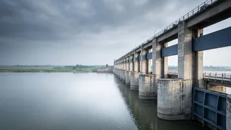
To manage this shared water resource, India and Nepal have a system of barrages and information-sharing agreements. Barrages like the Valmikinagar on the Gandak or the Girijapuri on the Ghaghara are designed to regulate river flow and divert water for irrigation. During a flood crisis, real-time coordination between the two countries is critical. Nepalese authorities share data on river discharge rates, allowing Indian officials to anticipate the surge and take precautionary measures, such as opening all barrage gates to allow the excess water to pass through and prevent structural damage. While the current discharge from the Valmikinagar Barrage remains within a manageable range for the monsoon season, authorities are prepared for it to rise significantly as the floodwaters from Nepal travel downstream.
Preparedness and Emergency Response
In response to the alert, a multi-pronged strategy has been activated. The state has placed teams from the National Disaster Response Force (NDRF) and State Disaster Response Force (SDRF) in vulnerable areas. The leave for irrigation department engineers and staff involved in embankment surveillance has been cancelled. Local administrations in affected districts are using public announcement systems to warn residents in low-lying areas and urge them to move to safer locations or designated flood shelters. Union Home Minister Amit Shah has spoken with the Chief Ministers of both Uttar Pradesh and Bihar, assuring them of all necessary central assistance to handle the potential crisis. Medical teams have also been put on duty for emergency response and healthcare services in the event of widespread flooding.