




Start With Official Government Sources
Your first and most reliable source for weather information should be the official government channels. The India Meteorological Department (IMD) offers the ‘MAUSAM’ mobile app. This platform provides location-specific weather forecasts, radar imagery,
and timely warnings for severe weather events like heavy rainfall. For broader disaster-related alerts, the National Disaster Management Authority's (NDMA) ‘SACHET’ app is an invaluable tool. It delivers geo-targeted notifications for various hazards, including floods and cyclones, ensuring you receive alerts relevant to your specific area. Using these official apps gives you access to authoritative data directly from the source.
Leverage Third-Party Weather Apps
Beyond government offerings, several private weather applications provide detailed and user-friendly forecasts. Skymet Weather is a popular 'made in India' app that offers forecasts for thousands of locations across the country, often in multiple regional languages. International apps like AccuWeather and The Weather Channel are also widely used and provide features like minute-by-minute precipitation forecasts and real-time rain radar. Another option, Meteored, integrates official alerts from the IMD into its interface, combining third-party features with government warnings. These apps can offer a different user experience or specialised features, so it can be useful to have one as a secondary source.
Navigate Roads with Real-Time Traffic Data
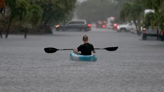
Knowing it's going to rain is one thing; knowing which roads are already flooded is another. This is where real-time traffic apps become essential. Google Maps is the go-to tool for millions, showing live traffic conditions in over 34 Indian cities. The color-coded lines—green for clear, orange for moderate traffic, and red for heavy congestion—provide an instant snapshot of your route. The app also suggests faster alternative routes based on current conditions. For commuters who prefer audio updates, the new Hyundai Traffic Quality Index (TQI) is broadcast on Radio Mirchi in major cities like Delhi, Mumbai, and Bengaluru, giving traffic ratings without needing to check your phone.
Use Social Media for Hyper-Local Updates
For the most immediate, on-the-ground information, social media is an incredibly powerful resource. Traffic police departments in major metropolitan areas, including Mumbai, Delhi, and Chennai, actively use platforms like X (formerly Twitter) to post real-time updates. Following their official handles can alert you to sudden waterlogging, fallen trees, accidents, and route diversions that might not yet appear on map apps. These platforms are often the fastest way to learn about localized disruptions, as updates are posted instantly by officials managing traffic flow on the streets.
Your Pre-Travel Safety Checklist
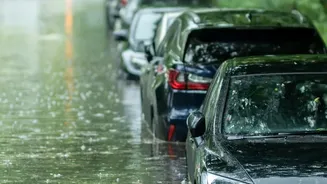
Before you even open an app, a few practical checks can make all the difference. Ensure your vehicle’s essentials are in working order, particularly your wipers, headlights, and tyres. Driving on wet roads reduces traction, so good tyre tread is crucial for preventing skidding. Always slow down and increase the distance between your vehicle and the one in front of you. If visibility becomes extremely poor, it is safer to pull over to a secure spot and wait for the downpour to ease. Never attempt to drive through deep standing water, as it can stall your vehicle and hide dangerous potholes or open manholes. A few moments of preparation can prevent hours of being stranded.