
The Enduring Quest for Lunar Water
For decades, the idea of finding significant water on the Moon was the stuff of science fiction. But that has changed dramatically. Finding water ice is a primary goal for space agencies worldwide because it is a critical resource for future long-duration
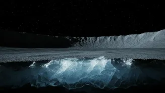
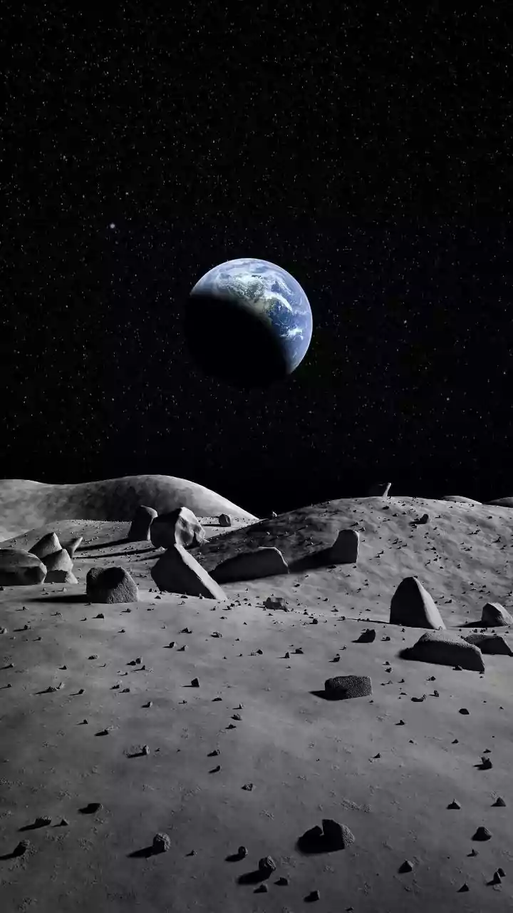
missions. It can be processed into drinking water and breathable oxygen for astronauts, and its components—hydrogen and oxygen—can be separated to create rocket fuel. This would dramatically reduce the cost and complexity of deep-space exploration, as missions wouldn't need to launch from Earth with all their water and fuel. The Moon's poles, with their permanently shadowed regions (PSRs) where sunlight never reaches, are considered the most promising locations for ice to have survived for billions of years in extreme cold.
Chandrayaan-2’s Advanced Radar Vision
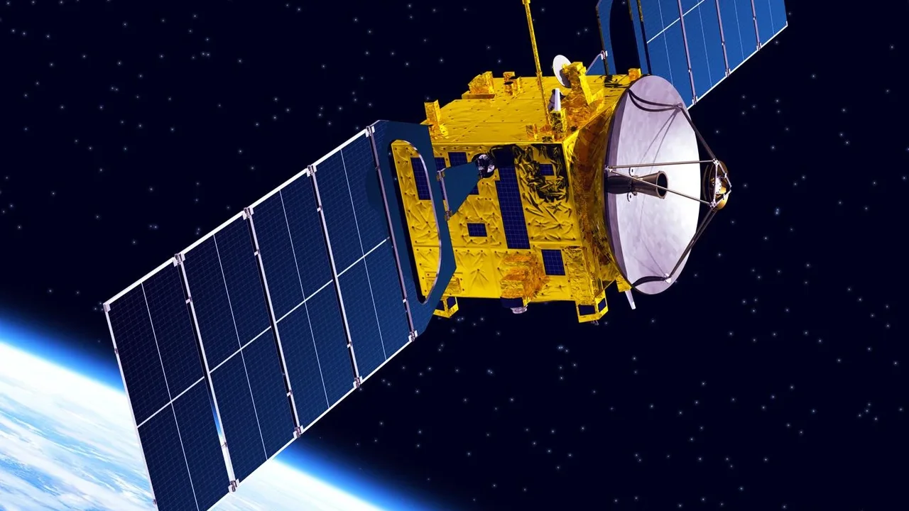
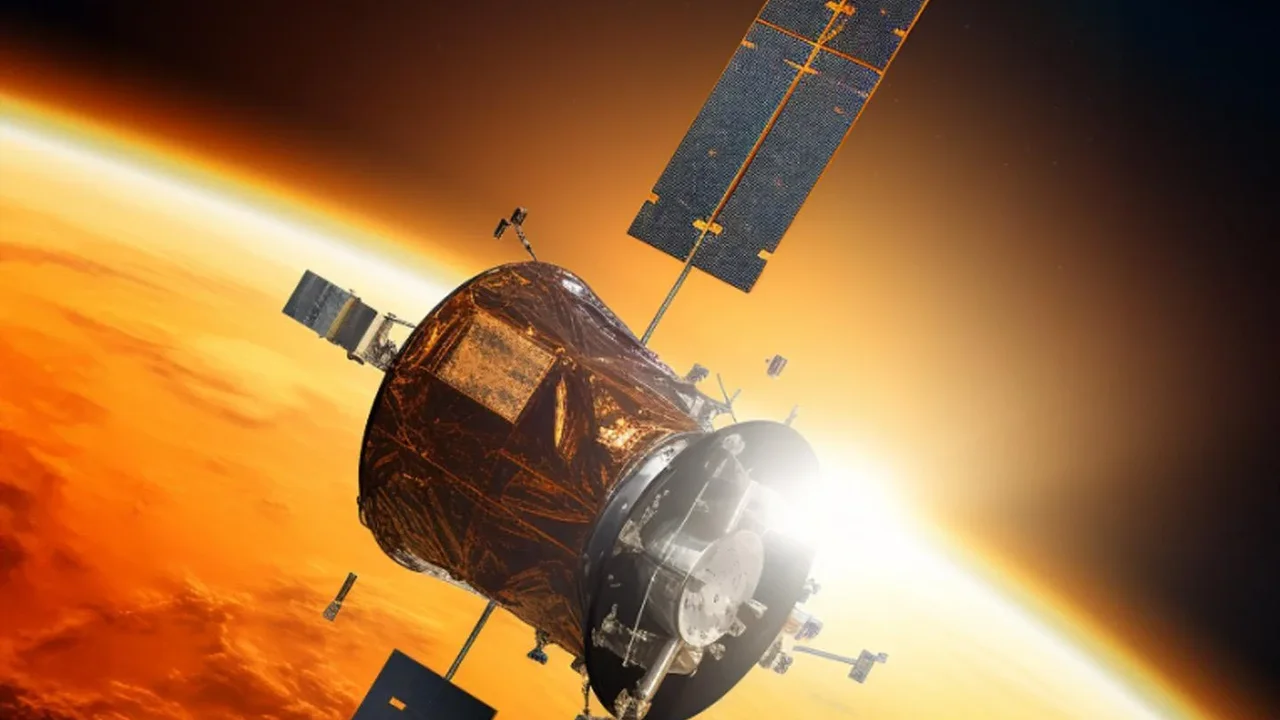
While the Chandrayaan-2 lander's attempt was unsuccessful in 2019, its orbiter has been a resilient and invaluable scientific platform, continuously mapping the lunar surface. The latest findings come from its Dual-Frequency Synthetic Aperture Radar (DFSAR) payload. This isn't just any radar; it's a sophisticated instrument that sends microwave signals in two different frequency bands (L-band and S-band) that can penetrate below the lunar surface. By analysing how these signals bounce back, scientists can deduce the properties of the material hidden beneath the dusty regolith. Critically, it is the first fully polarimetric radar sent to the moon, giving it an enhanced ability to distinguish the unique signal of water ice from that of rough, rocky terrain, a long-standing challenge in lunar science.
From Rough Guesses to Refined Models
Previous missions had provided strong hints of water ice, but often with low-resolution data that made it hard to be certain or to understand its distribution. ISRO scientists, using the DFSAR data, have developed a more nuanced method to enhance their scientific models. They focused on 'doubly shadowed craters'—cold traps within the already frigid PSRs. The team established a refined criterion for identifying subsurface ice: a combination of a high Circular Polarization Ratio (CPR) and a very low Degree of Polarization (DOP). In simple terms, this two-factor check helps filter out false positives from rugged landscapes, giving a much higher confidence that the signal is from volumetric scattering caused by ice. The result isn't just a confirmation of ice, but a better understanding that its distribution is patchy and not uniform, a crucial detail for planning future missions.
Pinpointing a Future Resource Hotspot
These new models have identified four craters near the south pole with strong evidence of subsurface ice. One crater in particular, a 1.1-kilometre-wide bowl inside the larger Faustini crater, stands out. It not only displayed the tell-tale radar signature but also has a distinctive 'lobate-rim'—a flow-like appearance that suggests an impactor may have punched through a buried layer of ice. This level of granular detail transforms our view of the Moon from a place with 'possible ice' to one with specific, identifiable locations that can be targeted for future exploration. This data is vital for selecting landing sites for robotic and, eventually, human missions aiming to perform in-situ resource utilisation (ISRU), the concept of living off the land.
Bolstering India’s Role in a New Space Era
This scientific achievement, built on the legacy of Chandrayaan-1's role in the initial discovery of water molecules, cements India's position as a key player in lunar science. Following the historic landing of Chandrayaan-3 near the south pole in 2023, ISRO has demonstrated a powerful and complementary capability: not just landing, but also performing high-fidelity orbital reconnaissance. This data doesn't just serve India's ambitions; it provides invaluable information for the global effort to return to the Moon sustainably. As nations like the US, China, and Russia advance their plans for lunar bases, knowing precisely where to find resources like water is no longer an academic question but a practical necessity. ISRO's refined maps are a significant contribution to that shared global blueprint.