


India's Eyes in the Sky
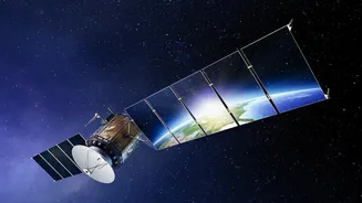
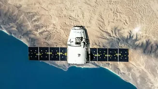
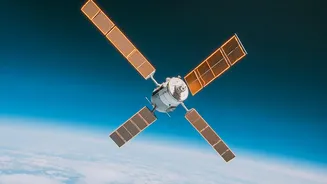
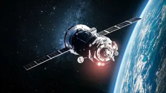
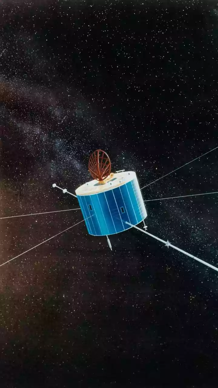
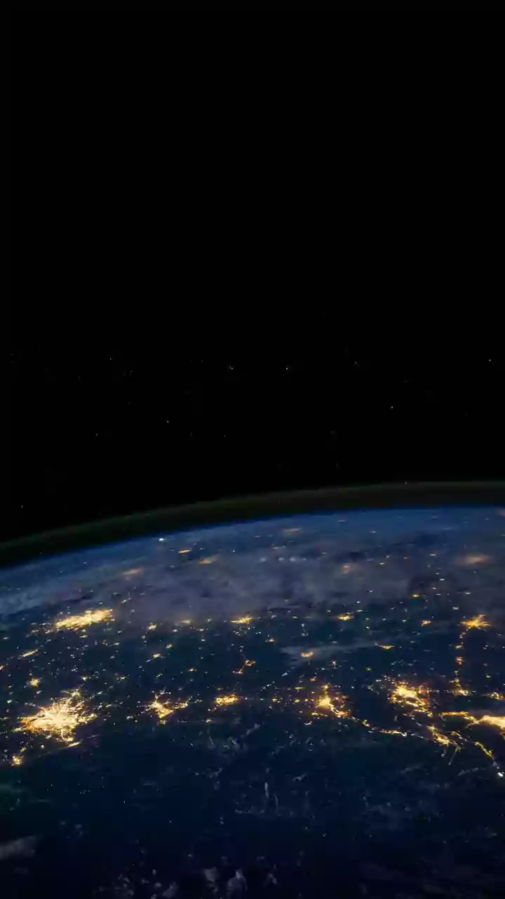
At its core, an Earth Observation (EO) satellite is a sophisticated camera in orbit, designed to monitor our planet. India, through the Indian Space Research Organisation (ISRO), operates one of the world's largest constellations of these remote sensing
satellites. Starting with the IRS-1A in 1988, ISRO has launched numerous satellites, including the Resourcesat, RISAT, and INSAT series, specifically to gather data on our lands, oceans, and atmosphere. These satellites are equipped with powerful sensors that can capture images across different wavelengths, including visible light and infrared, revealing details invisible to the naked eye. This allows scientists to track everything from cloud formations and sea surface temperatures to soil moisture and the health of vegetation across the country.
A Revolution in Weather Forecasting
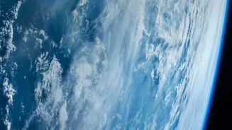
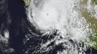
For decades, weather prediction was a ground-based effort. Today, satellites have transformed it into a data-driven science. Satellites like the INSAT series provide a constant stream of information on cloud cover, wind patterns, and temperature to the India Meteorological Department (IMD). This continuous, large-scale monitoring is crucial for tracking the development and movement of significant weather events. The ability to monitor cyclones forming over the ocean, for instance, allows for earlier and more accurate warnings, saving countless lives. This satellite data is a major input for the advanced computer models that now predict weather with increasing accuracy, helping everyone from city planners to farmers prepare for what’s to come.
From Space to Soil: A Farmer's New Ally
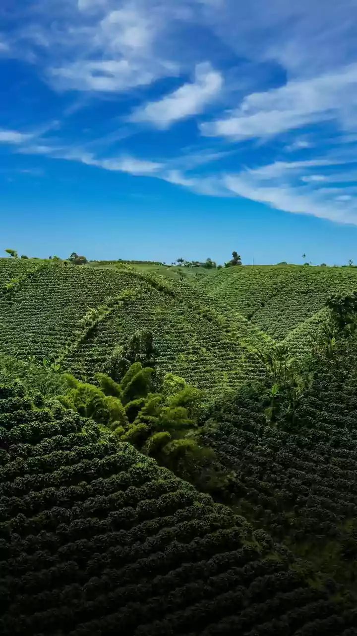
Perhaps the most significant impact of EO satellites is on agriculture, a sector that employs a vast portion of India's population. Satellites provide invaluable insights that support 'precision agriculture'. By analyzing satellite imagery, experts can assess crop health across millions of hectares. Healthy crops reflect light differently than those under stress from lack of water, pests, or disease. This allows for the early detection of problem areas, enabling farmers to apply water or pesticides exactly where needed, saving money and reducing environmental impact. Furthermore, satellites can measure soil moisture levels, helping to optimize irrigation and conserve precious water resources, a critical advantage in a water-stressed country.
Smarter Farming Through Government Initiatives
The Indian government has been actively harnessing this technology to support farmers through several key programmes. The FASAL (Forecasting Agricultural output using Space, Agro-meteorology and Land-based observations) initiative uses satellite data to provide in-season forecasts for major crops, aiding in national food security planning. Another crucial application is in crop insurance. Under the Pradhan Mantri Fasal Bima Yojana (PMFBY), the YESTECH initiative uses satellite-based models to estimate crop yields at the village level, leading to faster and more transparent claim settlements for farmers who have lost their crops. Other programmes like NADAMS monitor drought conditions, while CHAMAN focuses on horticultural crops, all leveraging data from space.
Beyond the Harvest: Managing Resources and Disasters
The benefits of EO satellites extend beyond the farm gate. The same data used for agriculture helps in the broader management of natural resources. Authorities can monitor water levels in reservoirs, map flood inundation areas in near real-time, and assess the long-term impacts of drought. This comprehensive view supports better disaster management, allowing for more effective responses to floods, landslides, and forest fires. Recently, ISRO has even proposed the 'Bharat Krishi Satellite' programme, a dedicated set of at least two satellites to provide even more detailed and frequent coverage for the agricultural sector, promising to deepen this vital connection between space technology and rural India.