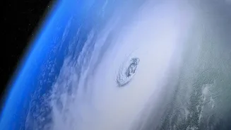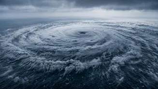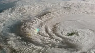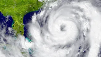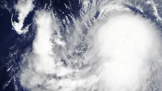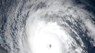

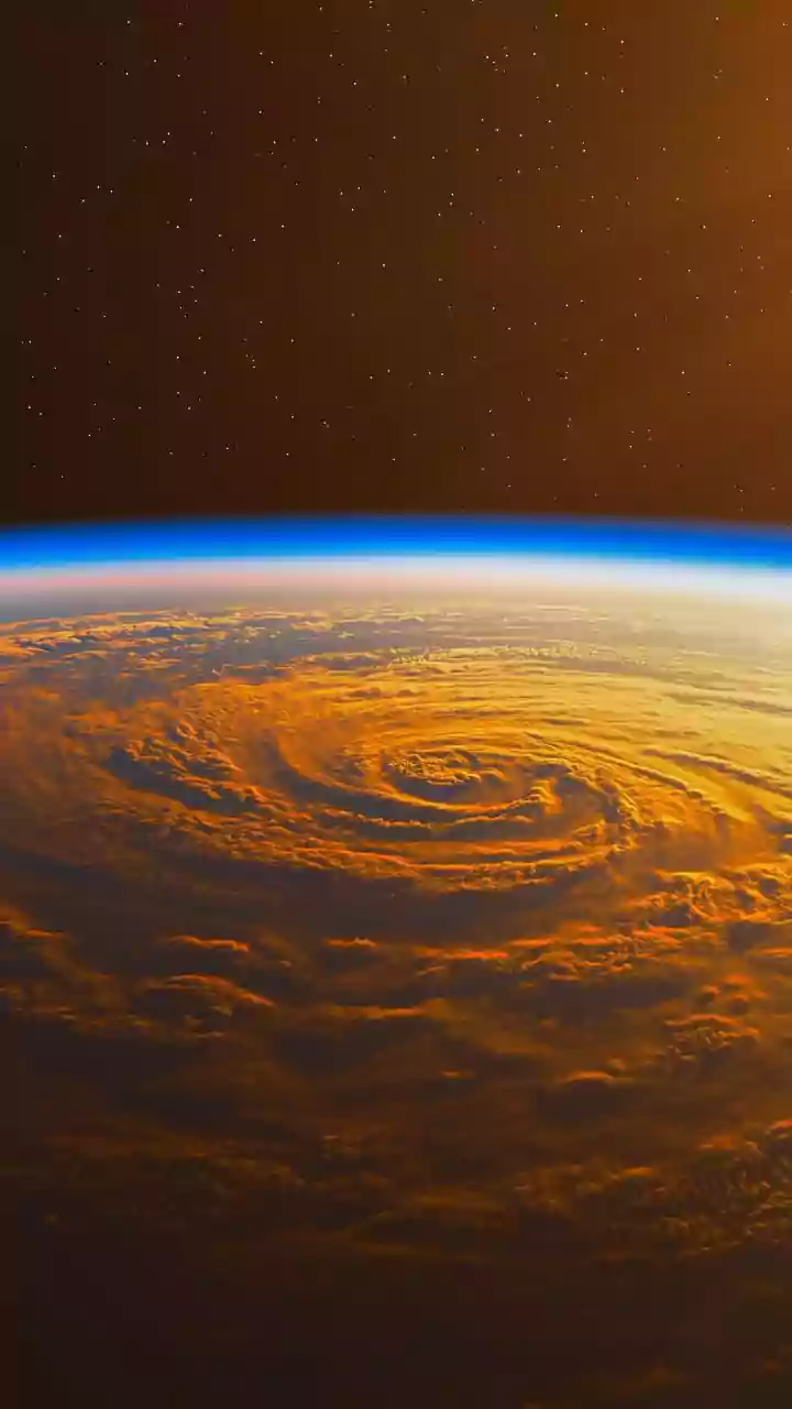
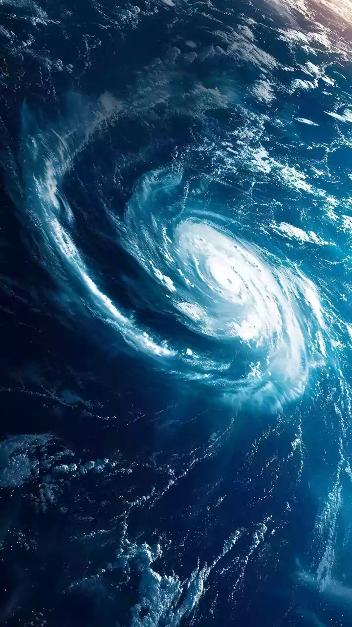




We've all felt it: the cyclone warnings seem more urgent, the rainfall more intense, the winds more destructive. It's not just your imagination. Climate researchers are confirming that tropical cyclones are indeed changing, growing stronger and wetter.
Warmer Oceans, The High-Octane Fuel
Think of a cyclone as a massive, spinning engine. Like any engine, it needs fuel. For a cyclone, that fuel is warm, moist air rising from the ocean's surface. As global temperatures rise due to climate change, the planet's oceans absorb the vast majority of this excess heat. This means the sea surface temperatures are consistently higher, providing more high-octane fuel for longer periods. A cyclone forming over water that is 28°C or warmer has the potential to become much more powerful than one over cooler waters. It's not just the surface, either. Deeper layers of warm water mean that when a storm churns up the sea, it doesn't hit a cold patch that would weaken it. Instead, it continues to draw energy, allowing it to maintain its strength or even intensify further.
A Wetter Atmosphere, Supercharged Rainfall
The other critical ingredient for a cyclone is moisture. A fundamental rule of physics is that a warmer atmosphere can hold more water vapour. For every degree Celsius of warming, the air can hold about 7% more moisture. When a cyclone forms, its powerful circulation sucks in all this surrounding moisture. With more water available in the atmosphere, the storm system can then release it in the form of torrential rainfall. This is why we are seeing cyclones produce staggering amounts of rain, leading to catastrophic flooding that often proves more destructive than the winds themselves. The increased moisture content effectively supercharges the storm's ability to drench coastal and inland areas, long after the strongest winds have passed.
Rapid Intensification, Storms on Overdrive
One of the most dangerous trends scientists are observing is the increase in 'rapid intensification'. This is when a cyclone's maximum sustained winds increase dramatically in a very short period, often in less than 24 hours. A storm that was a Category 1 can suddenly explode into a major Category 3 or 4 cyclone, leaving coastal communities with little time to prepare for a much more severe threat. Research strongly links this phenomenon to the warmer ocean temperatures discussed earlier. When a cyclone passes over a deep, warm pocket of water, it can rapidly 'power up'. This makes forecasting intensity incredibly difficult and is a primary focus for researchers trying to improve warning systems.
Slower Storms, Greater Damage
Adding to the problem is evidence that cyclones are slowing down their forward speed. While it sounds counterintuitive, a slower-moving storm is often a more dangerous one. Instead of moving quickly over an area, a slow or stalled cyclone lingers for hours, or even days. This prolongs the period of destructive winds, which puts more stress on buildings and infrastructure. More importantly, it means the supercharged rainfall is concentrated over the same location for a much longer time, dramatically increasing the risk of life-threatening floods and landslides. This 'stalling' effect is thought to be linked to changes in global wind patterns, another consequence of a warming climate.
Strength vs. Path, A Different Puzzle
While scientists are getting a clearer picture of why cyclones are getting stronger, predicting a storm's precise track, or where it will make landfall, is a separate and distinct challenge. A cyclone's intensity is governed by its internal engine—the heat and moisture it draws from the ocean. Its path, however, is determined by large scale atmospheric steering currents like massive rivers in the sky that guide the storm forecasting these steering winds is a different science while track forecasting has improved significantly over the past few decades allowing for earlier and more accurate landfall warnings within a 48 hour window predicting intensity remains harder puzzle especially with rise of rapid intensification this is crux of modern cyclone research understanding both engine and steering to provide complete picture of threat.