



A Land Caught Between Tectonic Plates
The fundamental reason for Nepal's high earthquake risk lies deep beneath the surface. The country sits at the collision point of two massive tectonic plates: the Indian plate and the Eurasian plate. For about 50 million years, the Indian plate has been
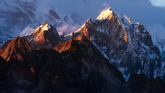
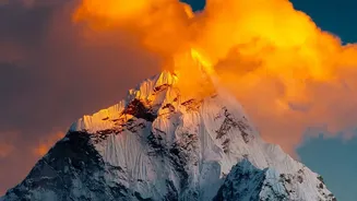
pushing northwards into the Eurasian plate at a rate of several centimetres per year. This relentless pressure doesn't just create the towering Himalayas; it also builds up enormous geological strain. When this strain is released, the ground shakes violently, resulting in catastrophic earthquakes like the 7.8 magnitude event that struck in 2015. This seismic activity is a constant, defining feature of the region, making large quakes a matter of when, not if.
The Challenge of Steep, Fragile Slopes
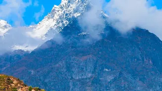
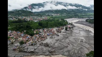
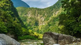
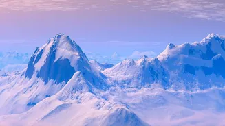
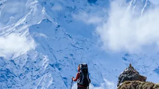
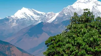
The same tectonic collision that causes earthquakes also created Nepal's dramatic topography. The Himalayas are young, geologically speaking, and characterised by incredibly steep slopes, narrow valleys, and fragile rock structures. This vertical world is inherently unstable. When combined with the intense annual monsoon rains, these slopes become highly susceptible to landslides. Heavy rainfall saturates the soil, which can give way without warning, sending torrents of mud, rock, and debris cascading downhill. Earthquakes are another major trigger, capable of shaking loose vast sections of mountainsides. These landslides not only destroy everything in their path but can also block rivers, creating a secondary, and equally deadly, flood risk.
Rivers of Life, Rivers of Hazard
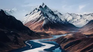
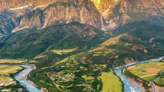
Nepal's thousands of rivers, fed by mountain glaciers and monsoon rains, are the nation's lifeblood, but they also pose a significant threat. Water and debris from landslides in the hills can travel rapidly downstream, causing devastating flash floods in the valleys and plains below. The southern plains, known as the Terai region, are particularly vulnerable. This area, which borders India, acts as a basin for the rivers flowing south from the high mountains. During the monsoon, these rivers frequently swell, leading to widespread flooding, riverbank erosion, and inundation that damages crops, homes, and critical infrastructure. Unplanned development and the encroachment on riverbanks have further intensified this risk.
A New Threat: Melting Glaciers
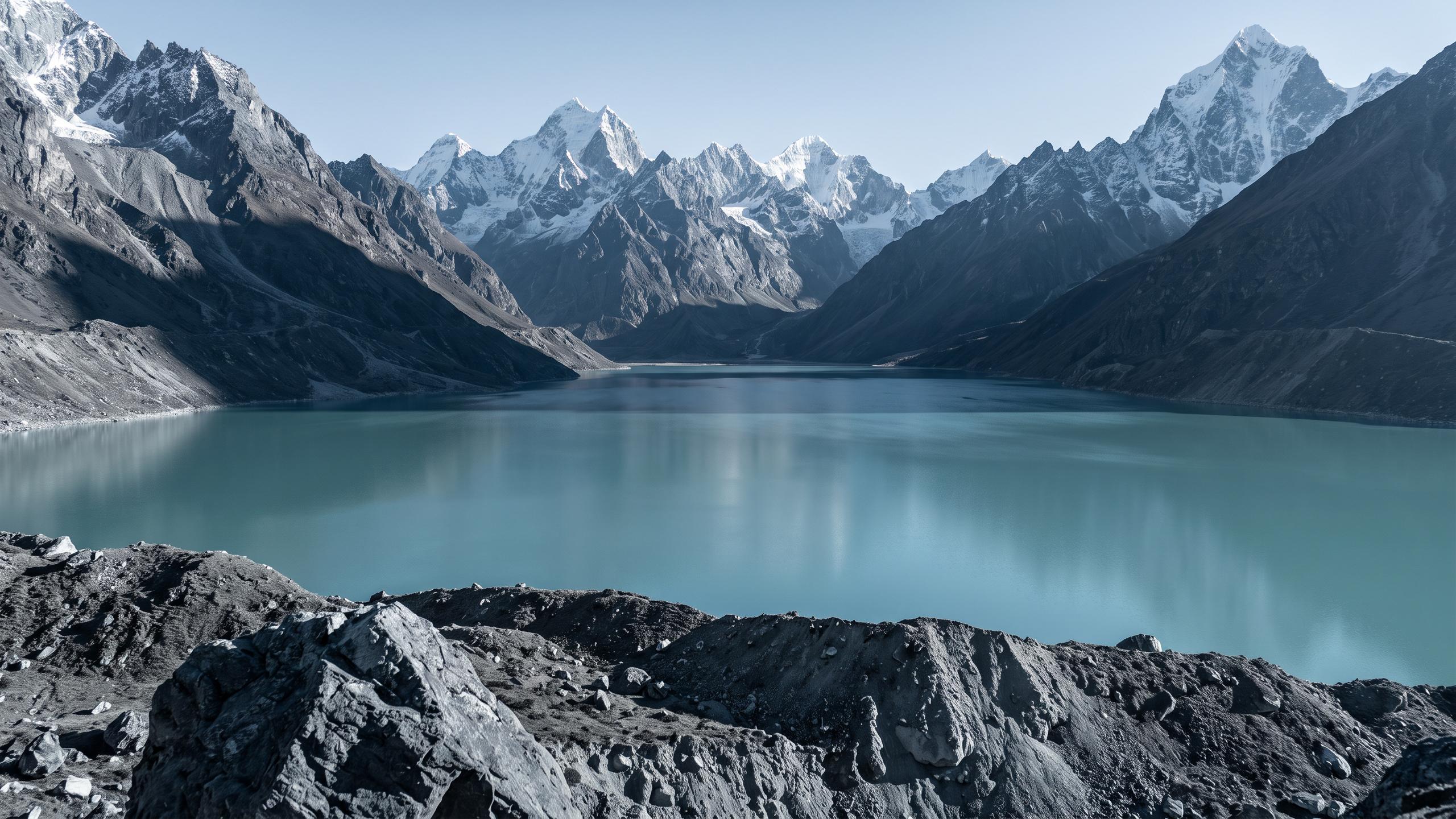
A warming climate is adding another dangerous layer to Nepal's geographical predicament. Rising temperatures are causing Himalayan glaciers to melt at an accelerated rate. This meltwater often collects in high-altitude lakes dammed by unstable walls of rock and debris known as moraines. These moraine dams can breach suddenly due to pressure from the rising water or from triggers like earthquakes and avalanches. The resulting event is a Glacial Lake Outburst Flood (GLOF), a sudden, catastrophic release of enormous volumes of water, ice, and rock. GLOFs can travel dozens of kilometres downstream at high speed, obliterating villages, hydropower plants, and bridges with little to no warning.
The Human Element
While geography sets the stage, human factors often determine the scale of a disaster. Population growth and unplanned urbanisation have pushed settlements into hazard-prone areas, such as on steep slopes or along riverbanks. As flat land becomes scarce, new construction often takes place on more vulnerable terrain. Furthermore, the haphazard construction of rural roads, often without proper engineering or drainage, can destabilise slopes and trigger landslides during heavy rains. This intersection of natural hazard and human vulnerability turns geographic risks into humanitarian tragedies, where homes, livelihoods, and lives are lost.