





India's Eyes in the Sky
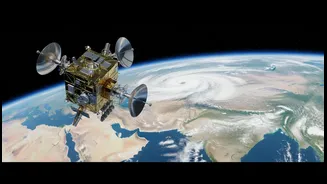
High above the Earth, a constellation of sophisticated satellites operated by the Indian Space Research Organisation (ISRO) keeps a constant watch over the subcontinent. Key among these are the geostationary satellites of the INSAT series, specifically
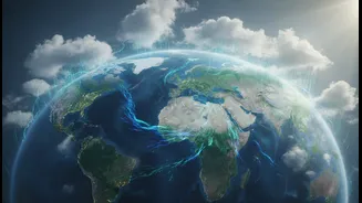
INSAT-3D, INSAT-3DR, and the recently launched INSAT-3DS. Unlike satellites that orbit the planet, these are positioned in a fixed spot relative to the Earth, allowing them to continuously monitor the Indian subcontinent and surrounding oceans. Their primary mission is to provide enhanced meteorological observations, crucial for weather forecasting and disaster warning. These satellites are equipped with advanced instruments called imagers and sounders, which capture a wealth of data about our atmosphere.
From Pixels to Predictions
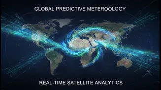
So, how does a satellite image become a rainfall prediction? The process is a blend of physics and powerful computing. The imagers on board the INSAT satellites capture energy from the Earth across multiple channels, including visible light and infrared. Visible imagery, like a regular photograph, shows reflected sunlight and is great for seeing cloud shapes and thickness during the day. Infrared (IR) imagery, on the other hand, detects heat. This is vital because it works day and night and reveals the temperature of cloud tops. Colder, brighter white clouds in an IR image are typically higher and more powerful, often indicating intense thunderstorm activity and heavy rainfall. Another instrument, the sounder, measures temperature and humidity at different atmospheric levels, giving forecasters a 3D view of the weather systems. This data is then fed into complex numerical models run by the India Meteorological Department (IMD) to generate forecasts.
Decoding the Monsoon
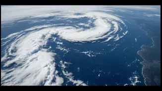
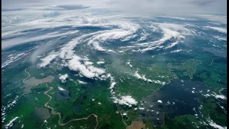
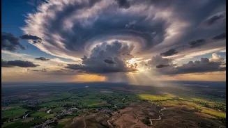
The Indian monsoon is the nation's lifeline, and tracking its progress is one of the most critical functions of ISRO's satellites. Satellite imagery allows meteorologists to see the big picture in a way ground-based instruments cannot. They can monitor the formation of low-pressure systems over the Bay of Bengal and the Arabian Sea, track the movement of moisture-laden clouds, and observe the advance of the monsoon across the country. Recent images from INSAT-3DS, for example, have captured the dramatic surge of monsoon clouds over northern India, signalling a revival after a dry spell. By analysing the speed and direction of cloud movements (known as cloud motion vectors), forecasters can predict where rainfall will be most intense. This information is invaluable for agriculture, water management, and public preparedness.
Beyond Daily Weather: A Lifesaving Tool
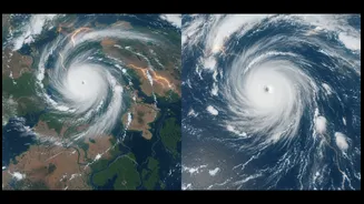
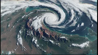
The impact of ISRO's imagery extends far beyond the daily weather report. For a country with a long coastline, accurate and timely cyclone warnings are a matter of life and death. Satellites are the first line of defence, detecting cyclones while they are still far out at sea. By continuously tracking a storm's structure, intensity, and path, the IMD can issue precise warnings, enabling authorities to evacuate vulnerable populations and mitigate damage. The data is also used for a range of other applications, from issuing heatwave and cold wave alerts to providing sea surface temperature data that helps fishing communities locate potential fishing zones. Data Relay Transponders on the satellites also collect information from thousands of automatic weather and rain gauge stations in remote areas, ensuring a comprehensive picture of national weather.
Bringing Space Data to the Public
This wealth of information is not just for scientists. ISRO and the IMD make this data accessible through public platforms like MOSDAC (Meteorological and Oceanographic Satellite Data Archival Centre). This portal provides near real-time satellite images, forecasts, and specialised products for researchers, policymakers, and the general public. Web tools and mobile apps developed by ISRO allow anyone to see the same cloud patterns and weather systems that forecasters use. This direct access helps people connect the abstract concept of a satellite with the tangible reality of the weather they experience, fostering a better understanding of how space technology safeguards and improves lives on the ground.