




Our Guardians in the Sky
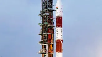
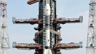
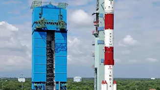
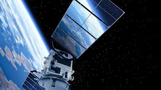
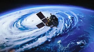
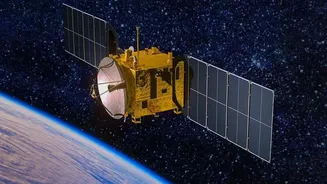
India's prowess in managing natural disasters is significantly enhanced by a sophisticated network of Earth observation satellites. At the heart of this system are meteorological satellites like the INSAT series (including INSAT-3D, INSAT-3DR, and the recently
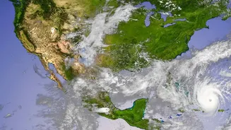
launched INSAT-3DS) and the Oceansat series. These are not just single points in space but a coordinated fleet designed for specific tasks. Geostationary satellites like INSAT-3DR are 'parked' at a fixed position about 36,000 km above Earth, allowing them to continuously monitor the Indian subcontinent. They are equipped with imagers to track cloud patterns and sounders to measure atmospheric temperature and humidity, providing a constant stream of data crucial for predicting everything from daily rain to devastating cyclones.
From Raw Data to Actionable Warnings
Collecting data is only the first step. The true magic happens when this information is translated into a life-saving forecast. This is a collaborative effort, with ISRO providing the vital satellite data to agencies like the India Meteorological Department (IMD). At IMD's processing centres, data on cloud cover, sea surface temperature, and wind speed is fed into powerful computer models. These models help meteorologists forecast the formation, intensity, and path of cyclones with increasing accuracy. During rapidly developing events like cyclones, ISRO can task its satellites, such as INSAT-3DR, to perform 'rapid scans', capturing images of a specific area every few minutes instead of the standard half-hour, providing forecasters with near real-time updates on a storm's evolution.
The Crucial Last Mile: Reaching People
An alert is only useful if it reaches the people in harm's way. This is where a multi-agency framework kicks in. Processed warnings are sent to the National Disaster Management Authority (NDMA) and State Disaster Management Authorities. This information is then disseminated to the public through various channels. Beyond television and radio, ISRO's technology enables direct-to-device alerts. A prime example is the NavIC (Navigation with Indian Constellation) system, India's homegrown alternative to GPS. Fishermen, who are often out of range of mobile networks, are equipped with small NavIC receiver devices. These devices broadcast emergency warnings for cyclones, tsunamis, and high waves directly to their boats, often in their local language, giving them precious time to return to shore.
Beyond Cyclones: A Multi-Hazard System
While cyclone tracking is a prominent success story, ISRO's disaster management support extends to a wide range of natural hazards. Satellites from the RISAT (Radar Imaging Satellite) series can see through cloud cover, which is invaluable for mapping the extent of floods in near-real-time. These flood inundation maps help rescue teams identify which villages are cut off and where to direct resources. The agency has also developed experimental systems for providing landslide alerts along pilgrimage routes in the Himalayas and for monitoring drought conditions across the country. Data and maps for all these hazards are made available through web portals like Bhuvan and MOSDAC, and through the comprehensive National Database for Emergency Management (NDEM), ensuring that disaster managers have the best possible information.