


The Challenge of Urban Deluges
Every year, during the monsoon season, major Indian metropolises like Mumbai, Chennai, and Bengaluru brace for the inevitable. Intense bursts of rain overwhelm decades-old drainage systems, turning roads into rivers in a matter of hours. This urban flooding
isn't just an inconvenience; it's a significant threat to public safety, causing widespread disruption, economic damage, and, in tragic cases, loss of life. Traditionally, disaster response has been reactive. Authorities would receive frantic calls from affected citizens and dispatch teams based on delayed, often incomplete information. This approach meant that by the time help arrived, the situation on the ground could have worsened dramatically, making rescue operations more dangerous and less effective.
An Invisible Digital Watchdog
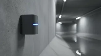
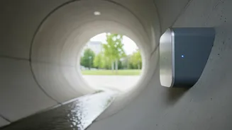
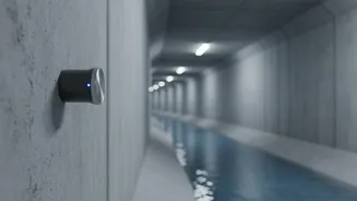
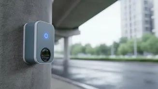
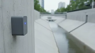
Enter the concept of smart city infrastructure. To combat the unpredictability of urban floods, cities are now embedding sensor networks directly into their stormwater drainage systems. These networks act as an early warning system, an invisible digital watchdog that monitors the city’s arteries. Instead of waiting for streets to be visibly inundated, this technology provides a real-time view of what’s happening underground. The system consists of rugged, waterproof sensors placed at strategic points within the drain network—areas known for bottlenecks or rapid water accumulation. These devices are the city's eyes and ears on the ground, collecting crucial data long before a crisis becomes visible to the public.
How the Technology Works
The core of the system lies in its sensors, which are typically ultrasonic or pressure-based. An ultrasonic sensor, mounted at the top of a drain pipe, emits sound waves that bounce off the water's surface. By measuring the time it takes for the echo to return, it can calculate the water level with remarkable accuracy. This data is the raw intelligence. These sensors are designed for low power consumption and transmit their small data packets wirelessly using technologies like LoRaWAN (Long Range Wide Area Network) or cellular networks to a central server. This continuous stream of information feeds into a central control room, where software processes and visualizes the data.
From Data to Actionable Alerts
Raw data on water levels is useful, but its true power is unlocked when it's transformed into actionable intelligence. The software at the central command centre doesn't just display current water levels; it runs predictive models. By combining sensor data with weather forecasts, the system can predict which areas are likely to flood and how severely. When water levels in a specific drain cross a predefined critical threshold, the system automatically triggers an alert. This isn't just a simple alarm; it’s a targeted notification sent directly to disaster management officials and rescue teams, complete with the precise location and severity of the issue. This allows for a proactive rather than a reactive response.
Empowering Rescue Operations
For rescue teams, this real-time information is a game-changer. Instead of navigating blindly through a flooded city, they receive a live, dynamic map of the crisis. This intelligence allows them to make critical, life-saving decisions. They can identify the most impacted zones and pre-position personnel and equipment like boats and pumps before the situation escalates. The data helps them plan safe and efficient evacuation routes, avoiding roads that are already submerged or will be shortly. Furthermore, by knowing which areas are inaccessible, they can redirect emergency vehicles like ambulances and fire trucks, ensuring they don't get trapped while responding to other emergencies. This coordinated approach ensures that resources are used effectively, response times are cut drastically, and both citizens and rescue personnel are kept safer.
The Road Ahead for Smart Flood Management
While the technology holds immense promise, its widespread implementation faces challenges. The cost of deploying and maintaining thousands of sensors across a sprawling urban landscape can be substantial. Ensuring the sensors remain functional amidst debris and silt in drains requires regular upkeep. Moreover, integrating this new data stream with existing, often siloed, municipal departments is a significant operational hurdle. Despite these challenges, the push for such systems is growing, sometimes complemented by citizen-science platforms where residents can report flooding via social media, enriching the official data. As these systems become more sophisticated and affordable, they represent a critical step towards building more resilient, climate-adapted cities.