


The Permian's Methane Challenge
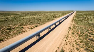
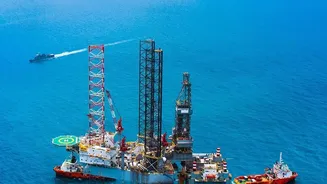
The Permian Basin, spanning West Texas and southeastern New Mexico, is the engine of U.S. oil production. But with its sprawling network of wells, pipelines, and processing facilities, it's also the nation's largest source of methane emissions from the oil and gas
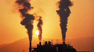
industry. Methane is the primary component of natural gas, but when it escapes into the atmosphere, it becomes a potent greenhouse gas with over 80 times the warming power of carbon dioxide over a 20-year period. These leaks represent not only a significant climate threat but also a massive waste of a valuable energy resource. Studies have revealed that emissions in the region are significantly higher than official estimates, sometimes by a factor of four, highlighting the scale of the problem.
A New Sheriff in Orbit
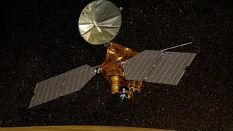
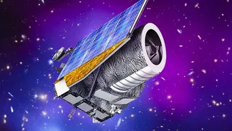
For years, detecting these invisible leaks relied on ground crews with handheld sensors or occasional flyovers with aircraft—methods that are slow, labor-intensive, and cover limited areas. This meant leaks could go unnoticed for weeks or months. Now, a fleet of sophisticated satellites is changing the game. Organizations and companies like the Environmental Defense Fund (with its MethaneSAT) and GHGSat have deployed orbiting sensors that can monitor vast territories with unprecedented frequency and precision. These satellites provide a comprehensive, independent overview of emissions, pinpointing problem areas that ground-based methods might miss entirely.
How the Technology Works
These orbiting sensors are equipped with advanced imaging spectrometers. From an altitude of hundreds of kilometers, they measure sunlight that reflects off the Earth's surface. Methane in the atmosphere absorbs this sunlight at a specific wavelength in the short-wave infrared spectrum. By analyzing this unique light signature, the satellites can detect and quantify the concentration of methane plumes in the air. This data, combined with wind information, allows scientists to calculate the emission rate and trace it back to a specific facility or section of pipeline on the ground. The result is an actionable map of leaks that was previously impossible to create at this scale and speed.
From Weeks to Hours
The most significant advantage of satellite monitoring is speed. While traditional methods might identify a leak during a periodic inspection, satellites can revisit the same area daily or every few days. This near-continuous monitoring means that large leaks can be spotted and reported to operators in a matter of hours or days, not weeks. This rapid detection allows for quicker repairs, drastically reducing the total volume of methane released into the atmosphere. It transforms leak detection from a reactive, periodic task into a proactive, constant surveillance system, enabling companies to minimize both their environmental impact and their product losses.
Accountability and Action
The data from these satellites is creating a new era of transparency. It provides regulators, investors, and the public with independent, verifiable information on emissions performance. For example, data from 2024-2025 showed that methane intensity—the amount of methane leaked relative to gas produced—was significantly lower in New Mexico than in neighboring Texas, a difference attributed to New Mexico's stricter emissions regulations. This kind of empirical evidence is putting pressure on operators across the Permian Basin to invest in better infrastructure and leak prevention programs, proving that what gets measured truly gets managed.