






The Hidden River Network
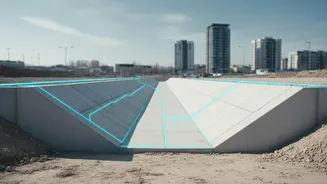
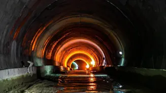
Beneath Bengaluru's bustling streets lies a network of stormwater drains, or 'Rajakaluves', designed to carry rainwater away from residential areas and into the city's lakes. This system, comprising primary, secondary, and tertiary drains, is crucial
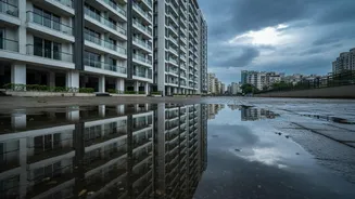
for preventing waterlogging. However, rapid urbanisation has led to widespread encroachment, with many buildings, and sometimes entire layouts, constructed directly over or dangerously close to these vital channels. This construction effectively chokes the city's drainage capacity, turning heavy rainfall into flash floods in low-lying areas.
More Than Just Flood Risk
For a homebuyer, the threat isn't just a flooded basement. It's a significant legal and financial risk. Properties that encroach on Rajakaluves or their legally mandated buffer zones are considered illegal constructions. Civic bodies like the Bruhat Bengaluru Mahanagara Palike (BBMP) have been conducting demolition drives, tearing down offending structures to clear the drains. A registered sale deed or an approved building plan does not automatically protect a property if it violates drain buffer regulations, a fact that surprises many homeowners. The paperwork confirms the transaction, but it cannot make an illegal encroachment legal. Banks may also refuse to grant loans for such properties, and resale becomes incredibly difficult.
What the Research Shows
While there isn't a single 'fresh' study, a consistent body of research and official action points to the same conclusion. Studies have shown that a significant percentage of Bengaluru's wetlands and drains have been lost to illegal construction, drastically increasing flood vulnerability. In response, and often prompted by courts like the National Green Tribunal, civic agencies have been tasked with identifying and clearing these encroachments. Initiatives by organisations like the IIMB-RERI have led to the creation of public portals to map these drains, empowering citizens with information that was previously hard to access. This ongoing effort to reclaim the city's drains is the 'fresh' context every potential homebuyer must be aware of.
How to Check the Drain Maps
Verifying a property's status is a critical piece of due diligence. Start by using official portals. The BBMP provides GIS maps that show stormwater drain alignments and buffer zones. Citizen-led initiatives like MapsHalli also offer user-friendly interfaces to view survey maps overlaid on Google Maps. When considering a property, you need its survey number and village name. You can use these details to check the location against the drain maps. These maps will typically show primary drains and their required buffer zones — a no-construction area mandated on either side. For instance, a primary Rajakaluve requires a significant buffer where no construction is permitted.
Your Due Diligence Checklist
Checking a map is just the first step. Combine this digital verification with a physical inspection of the property, especially after a heavy rain, to observe natural water flow. Ask the seller directly for documents like the layout approval, which should clearly show the land set aside for drains. Do not rely on verbal assurances. Given the complexity of revenue maps, which are often in Kannada and not easy to interpret, involving a professional is highly recommended. A good property lawyer or a licensed surveyor can perform a thorough check of the land records, including the Comprehensive Development Plan (CDP) and survey sketches, to give you a clear report on any potential encroachments.