





Why is Space Navigation So Hard?
Imagine trying to throw a dart at a specific grape on a bunch held by someone on a moving train—several cities away. That’s a simplified analogy for navigating to another planet. Everything in space is moving, and moving fast. Earth is rotating on its
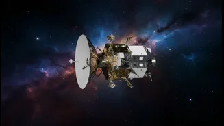
axis and orbiting the Sun. Your target, whether it’s Mars or a distant asteroid, is also moving on its own orbital path. A spacecraft must be launched not at where the planet is, but where it will be months or even years later. The distances are immense, meaning a tiny error of a fraction of a degree at launch can result in missing the target by hundreds of thousands of kilometres. This cosmic dart game requires a level of precision that is difficult to comprehend, demanding constant tracking and correction to account for gravitational pulls from planets and the Sun.
Earth's Global Positioning System
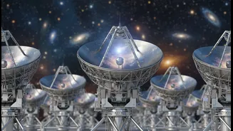
The backbone of deep space navigation is NASA's Deep Space Network, or DSN. It's a global network of giant radio antennas located in California, Spain, and Australia. This strategic placement, roughly 120 degrees apart, ensures that as Earth rotates, at least one facility can always maintain contact with a spacecraft. These aren't just listening devices; they are a powerful two-way communication system. Mission controllers send commands to the spacecraft through the DSN, and in return, the antennas collect vital data about the craft’s health and its scientific findings. More importantly for navigation, these massive dishes are the indispensable link for tracking a spacecraft's position and velocity.
Pinpointing a Needle in a Haystack
The primary method for finding a spacecraft is called trilateration. It's similar to how GPS works on Earth, but on a much larger scale. Instead of using angles (triangulation), trilateration uses distance. By sending a signal from a DSN station to the spacecraft and measuring the exact time it takes for the signal to return, engineers can calculate a very precise distance, or range. One measurement tells you the spacecraft is somewhere on the surface of a giant, imaginary sphere with the DSN antenna at its center. By taking measurements from two different DSN stations, you get two spheres. The intersection of these two spheres creates a circle. A third measurement from another station narrows the location down to just two points, and one of them can usually be ruled out, revealing the spacecraft’s position in 3D space.
Adding a Cosmic Reference Point
To achieve even greater accuracy, space agencies use a technique called Delta-Differential One-Way Ranging (Delta-DOR). This method significantly reduces errors caused by the Earth's atmosphere. The technique involves two ground stations simultaneously tracking the spacecraft's signal. Crucially, just before or after tracking the spacecraft, these same two antennas track a quasar—a distant, super-bright galaxy core whose position in the sky is known with extreme accuracy. By comparing the known signal delay from the quasar with the measured delay, engineers can calculate the atmospheric interference and subtract it from the spacecraft's measurement. This provides a much more precise fix on the spacecraft's angular position in the sky. It has been a fundamental tool for interplanetary missions from both NASA and the European Space Agency (ESA) for decades.
The Future: A 'Cosmic GPS'
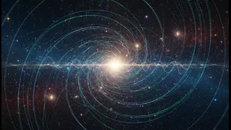
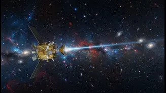
Relying solely on Earth for navigation has limitations, especially for missions far into the outer solar system where communication delays can be hours long. The future of space navigation is autonomy. Scientists are developing systems that would allow spacecraft to navigate on their own, much like a sailor using stars. One promising technology uses pulsars—rapidly rotating neutron stars that emit highly regular beams of X-rays, like cosmic lighthouses. By detecting the signals from several pulsars, a spacecraft could triangulate its own position in space without any input from Earth. In 2018, a NASA experiment called SEXTANT successfully demonstrated this X-ray navigation in real-time. This and other optical navigation methods—where a spacecraft uses cameras to determine its position relative to known asteroids and planets—will be essential for enabling faster, more efficient, and more ambitious exploration of our solar system and beyond.