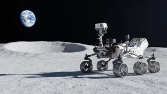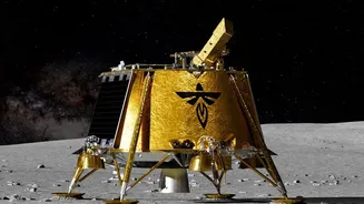

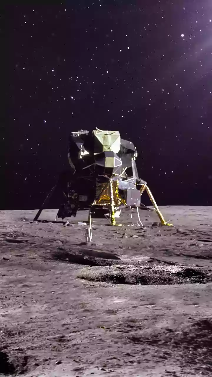
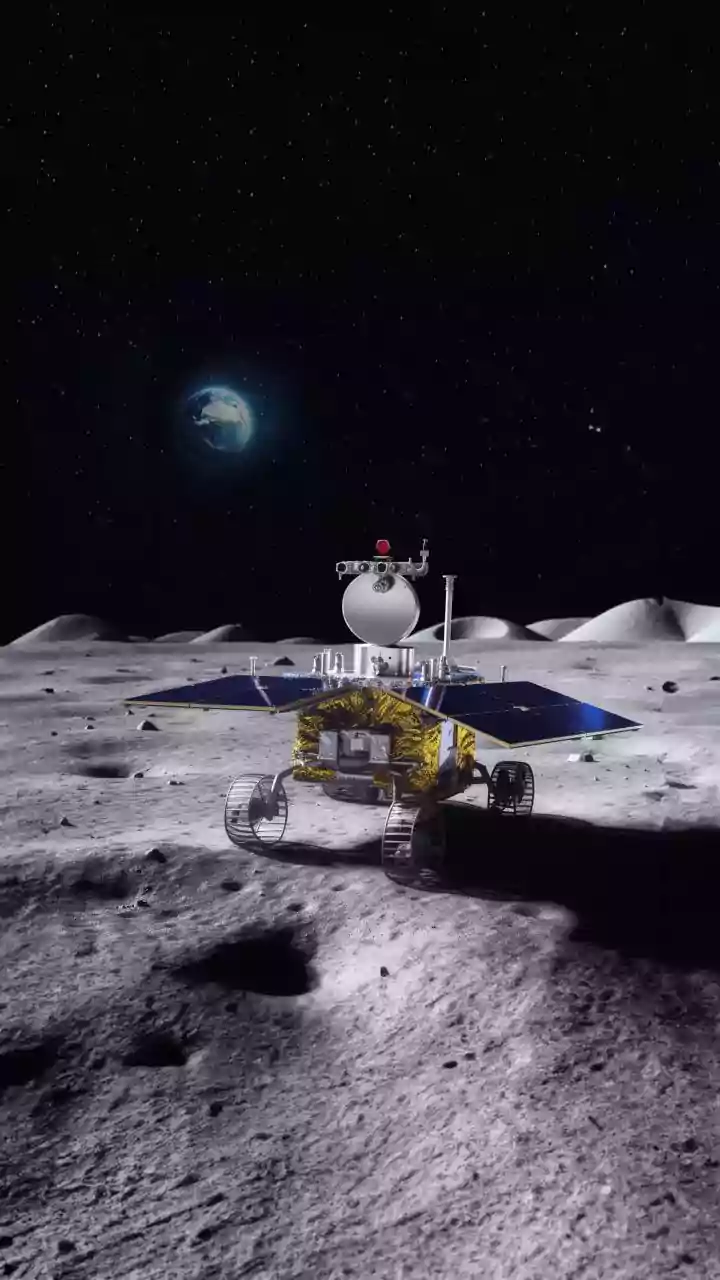


The Ultimate Real Estate Problem
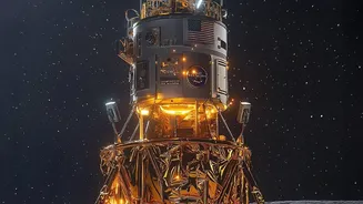
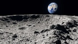
Imagine trying to park a car in a city you've only ever seen through a telescope. That’s a simplified version of the challenge space agencies face when selecting a lunar landing site. The Moon’s surface, especially in the scientifically crucial south
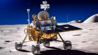
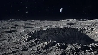
polar region, is a minefield of hazards. Steep crater walls cast permanent shadows, hiding the terrain below, while the surface is littered with sharp rocks and fine, abrasive dust that can damage sensitive equipment. Historically, scientists have spent thousands of hours manually poring over orbital images and topographical data to identify a tiny patch of ground that is both safe and scientifically interesting. This process is slow, painstaking, and limited by what the human eye can detect, making every landing a high-stakes gamble.
An AI Geologist for the Moon
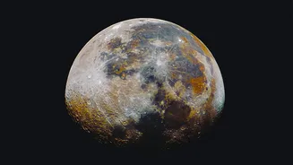
To solve this problem, NASA has teamed up with IBM to create the Lunar Foundation Model (LFM). Announced in September 2026, this powerful AI is designed to do in minutes what would take humans months or even years. It’s a foundational model, meaning it has been pre-trained on a massive, diverse dataset, allowing it to understand the lunar surface in a holistic way. The model was fed petabytes of data from decades of lunar missions, including high-resolution images and terrain maps from NASA’s Lunar Reconnaissance Orbiter (LRO) and data from Japanese and other NASA missions. The result is an AI that can analyse and connect information from different sources and resolutions to build an incredibly detailed picture of the Moon.
How It Scans for Danger
The LFM works by sifting through vast quantities of lunar data to create detailed hazard maps. It has been trained to identify and classify craters, measure the steepness of slopes, and spot boulders that could pose a threat to a landing craft. Unlike previous methods that often relied on separate tools for each task, the LFM can process everything at once, identifying relationships between different types of data that a human might miss. For example, it can combine visual imagery with thermal and topographical data to assess the terrain inside a permanently shadowed crater, a place that is almost impossible to see clearly but is a prime target for finding water ice. This allows mission planners to quickly rule out dangerous zones and focus on the most promising candidates.
More Than Just Finding Safe Spots
While safety is the top priority, the AI’s job doesn’t end there. Its deep understanding of lunar geology also makes it an invaluable tool for science. The model can identify areas with unique geological features, such as irregular mare patches, which offer clues into the Moon’s volcanic history. Most importantly, it can help pinpoint locations with a high potential for containing water ice. Finding accessible water is considered the holy grail of lunar exploration, as it can be used for drinking water, growing plants, and even being broken down into hydrogen and oxygen for rocket fuel. By flagging areas that are both safe to land in and rich in potential resources, the AI helps maximize the scientific and practical return of every mission.
Powering a New Era of Exploration
This technology is set to play a pivotal role in the next chapter of lunar exploration, including NASA's Artemis program, which aims to establish a long-term human presence on the Moon. By making the site selection process faster and more reliable, the AI model enables more ambitious missions. Agencies can now confidently consider landing in complex, high-reward areas like the south pole that were previously deemed too risky. For space programs around the world, including India's ISRO which has its own history of using AI for navigation, this open-source tool represents a significant leap forward. It democratizes access to cutting-edge analysis, allowing the global scientific community to collaborate on finding the best places to continue our exploration of the cosmos.