




India's Eyes in the Sky
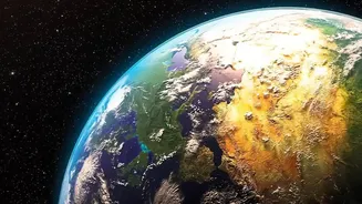
The Indian Space Research Organisation (ISRO) operates a formidable constellation of satellites designed for a range of tasks, with disaster management being a critical priority. This capability is crucial for a country prone to a variety of natural calamities,
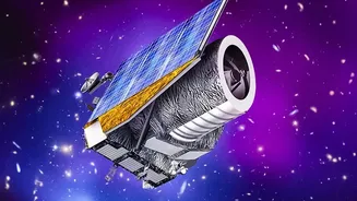
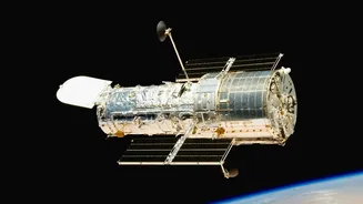
including floods, cyclones, landslides, and droughts. The system is built around three main types of satellites. The INSAT (Indian National Satellite System) series acts as a weather watchdog, providing data for forecasting and issuing early warnings for events like cyclones. The IRS (Indian Remote Sensing) satellites, including the Resourcesat and Cartosat series, provide high-resolution earth imagery. Finally, the RISAT (Radar Imaging Satellite) series offers a unique advantage: its radar sensors can peer through clouds and darkness, making it invaluable during monsoons and cyclones when optical vision is obscured.
Before the Disaster Strikes
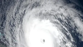
The most effective disaster response begins long before the event itself. This is where forecasting and early warning systems, powered by satellite data, play a life-saving role. For cyclones forming over the Bay of Bengal and the Arabian Sea, satellites like INSAT-3D, INSAT-3DR, and Oceansat are the first line of defence. They track the formation of low-pressure areas, monitor the storm's evolution, predict its path and intensity, and estimate when and where it will make landfall. This stream of information is fed directly to the India Meteorological Department (IMD) and the National Disaster Management Authority (NDMA), who then issue timely warnings. This crucial lead time allows authorities to conduct mass evacuations, as seen during Cyclone Fani in 2019, where the accurate prediction of its path and intensity enabled the evacuation of over 1.2 million people, drastically reducing casualties.
During the Crisis: Real-Time Monitoring
When a disaster is in full swing, getting a clear picture of the ground situation is chaotic and often impossible through conventional means. This is where radar satellites like the RISAT series become indispensable. Their ability to penetrate dense cloud cover and operate day and night allows authorities to see what is happening in near real-time. During major floods, RISAT provides crucial data by mapping the extent of inundated areas. This helps officials identify the worst-hit regions, locate stranded communities, and plan the logistics of rescue and relief operations far more effectively. The data from these satellites are quickly turned into actionable inundation maps, which are disseminated to state and central disaster management agencies to guide on-the-ground response teams.
Aftermath and Recovery
Once the immediate danger has passed, the long road to recovery begins. Here too, satellites provide invaluable support. High-resolution images from the Cartosat series are used for rapid damage assessment. By comparing before-and-after imagery, officials can map the extent of damage to infrastructure like roads, bridges, and buildings, as well as agricultural land. This detailed assessment is vital for several reasons: it helps in efficiently allocating resources for relief, prioritising areas for reconstruction, and verifying insurance claims. Furthermore, this data helps in long-term planning by identifying areas that are most vulnerable to future events, allowing for the development of more resilient infrastructure and better land-use policies. This systematic approach ensures that recovery efforts are not just about rebuilding, but about building back stronger.
Beyond Floods and Cyclones
While cyclones and floods are the most prominent examples, India's satellite network assists in managing a wider array of hazards. The technology is used to generate alerts for forest fires, often detecting them multiple times a day during peak season and mapping the burnt area afterward. For regions prone to landslides, especially in the Himalayas, satellite data is used to create hazard zonation maps that identify unstable slopes. In the case of drought, satellites monitor vegetation health and soil moisture levels across the country, providing early indicators that allow for timely intervention to support farmers and manage water resources. This broad spectrum of applications makes satellite technology a truly multi-purpose tool for national resilience.