





The Predictable Monsoon Mayhem
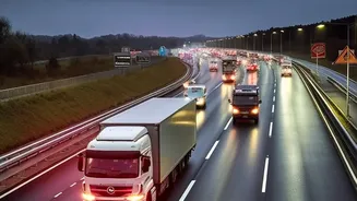
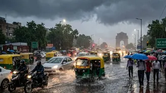
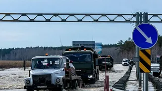
Every year, it’s the same story. A few hours of heavy rain brings large parts of Delhi-NCR to a grinding halt. Arterial roads like the Delhi-Gurgaon Expressway, Outer Ring Road, and key intersections such as ITO and Rajiv Chowk become choked with traffic.
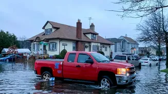
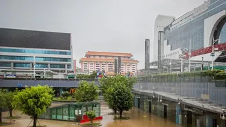
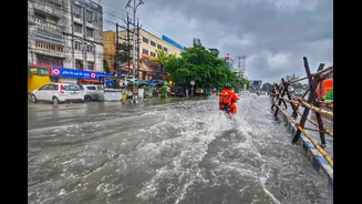
Areas like Janakpuri, Sangam Vihar, and multiple sectors in Gurgaon frequently report severe waterlogging, turning routine commutes into hours-long ordeals. Vehicles get stranded, underpasses become impassable, and the sheer unpredictability of which route might be clear makes travel a high-stakes gamble. This recurring civic paralysis highlights a critical need not just for better infrastructure, but for smarter navigation.
How Your Phone Knows the Road Ahead
Navigation apps like Google Maps and Waze are no longer just digital maps; they are live, dynamic systems that paint a real-time picture of the chaos. This is primarily achieved through crowdsourcing. Every person using the app with their location services on acts as a moving sensor. When hundreds of these “sensors” slow to a crawl or stop entirely on a particular stretch, the app’s algorithm interprets it as a traffic jam and colours the route red. This collective data is the backbone of live traffic updates, providing an ever-evolving view of road conditions far more current than any static map could ever be.
The Critical Advantage: Safety, Not Just Speed
During a downpour, the function of these apps transforms from a tool of convenience to one of critical safety. Knowing about a traffic jam is one thing; knowing that the jam is caused by thigh-deep water is another. The true value of live information during floods lies in its ability to help you avoid hazards, not just delays. Modern navigation apps are increasingly integrating weather-related alerts. In India, Google Maps has rolled out features to specifically show real-time alerts for flooded roads and areas with low visibility due to heavy rain. This allows the system to suggest alternative routes that don't just save time, but actively steer you away from potentially dangerous waterlogged zones where vehicles can stall or get damaged.
Beyond Red Lines: User-Reported Hazards
The power of these platforms is further amplified by direct user input. When a commuter reports a flooded street, a fallen tree, or an accident, that information becomes a warning for others on the same path. Waze, for example, is heavily built on this community-first approach, allowing drivers to drop pins for various hazards. This user-generated layer of information is often faster and more granular than official updates. Seeing a flood icon on your route, reported by a fellow user just minutes ago, is a powerful and immediate piece of intelligence that can help you make a crucial decision to turn back or find a different way, long before you find yourself stuck.
Smart Navigation Tips for the Monsoon
To make the most of this technology, a proactive approach is key. First, always check your entire route on the app before you leave. Look for red zones, road closure symbols, and flood alerts. Second, keep the app running during your journey; dynamic rerouting will automatically adjust your path if conditions ahead worsen. Third, be an active contributor. If you safely can, report waterlogging or other hazards to help fellow commuters. Finally, remember that technology is an aid, not a saviour. Always have a backup plan, inform family of your route, and if authorities advise staying home, it’s wisest to listen. In some cases, Gurgaon's authorities have even issued work-from-home advisories on days with heavy rainfall.