





The Invisible Challenge in the Permian Basin
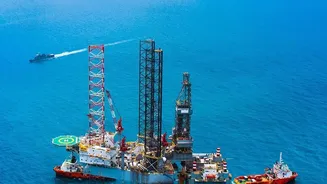
The Permian Basin, stretching across West Texas and southeastern New Mexico, is one of the most prolific oil and gas regions in the world. To transport raw natural gas from thousands of wellheads to processing facilities, energy companies rely on an extensive
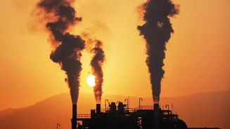
network of 'gathering lines'. This sprawling infrastructure, often located in remote and hard-to-access areas, presents a significant monitoring challenge. The primary concern is the leakage of methane, the main component of natural gas and a potent greenhouse gas. Studies have shown that emissions from these gathering lines could be substantially higher than previously estimated, representing not only an environmental concern but also a loss of valuable product for operators. Traditional monitoring methods, such as aerial flyovers or ground crews with handheld detectors, can be slow, expensive, and unable to provide a constant, comprehensive view of the entire network.
An Eye in the Sky: What Are Hyperspectral Satellites?
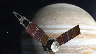
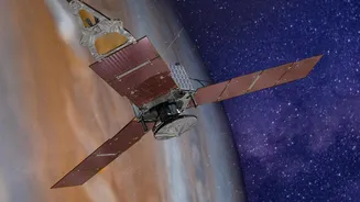
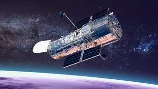
Enter hyperspectral imaging, a technology that has recently become commercially accessible via satellite. Unlike a standard camera that sees light in three bands (red, green, and blue), hyperspectral sensors see the world in hundreds of narrow spectral bands, extending far beyond the range of human vision into the infrared spectrum. This is crucial because different chemical compounds absorb and reflect light in unique ways, creating a distinct spectral 'fingerprint'. Methane, for instance, absorbs light at specific infrared wavelengths. By analyzing the light reflecting off the Earth's surface, these advanced satellite sensors can identify the tell-tale signature of a methane plume in the atmosphere, making the invisible visible. This allows operators to see not just that a leak is happening, but where it is coming from with remarkable precision.
The Power of High-Frequency Monitoring
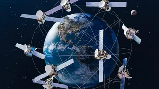
Detecting a leak is one thing; detecting it quickly is another. This is where “high-frequency” monitoring comes in. In the context of satellite observation, this refers to the revisit rate—how often a satellite passes over the same location. While older satellite systems might provide a snapshot every 12 days or so, newer constellations can offer coverage every few days, and some can even provide near-real-time data. This rapid revisit capability is a transformative leap from intermittent ground or aerial surveys. A leak that might have previously gone undetected for weeks or months can now be spotted within days or even hours of it starting. This allows energy companies to dispatch repair crews faster, significantly reducing the total volume of escaped methane and minimizing both environmental impact and economic losses.
From Raw Data to Actionable Intelligence
The process doesn't end with a satellite capturing an image. Once the hyperspectral data is collected, it is processed by powerful machine learning and AI algorithms. These systems are trained to scan thousands of square miles of imagery, filter out background noise, and pinpoint the specific location and even estimate the size of a methane plume. When a potential leak is identified, an alert is automatically generated and sent to the pipeline operator's control center. This alert often includes the precise coordinates, imagery evidence, and a threat-level classification, allowing integrity teams to prioritize and dispatch field personnel for on-the-ground verification and repair. This seamless integration of satellite data with existing operational workflows like SCADA and GIS systems is what makes the technology so powerful, turning a constant stream of complex data into clear, actionable tasks.
A New Era for Environmental and Operational Performance
The adoption of high-frequency hyperspectral satellite monitoring represents a paradigm shift for the energy industry. For pipeline operators, it provides an independent, verifiable layer of oversight that complements existing leak detection and repair (LDAR) programs. This enhanced monitoring capability helps companies meet increasingly stringent regulatory requirements and improve their environmental, social, and governance (ESG) performance—a key factor for investors. By finding and fixing leaks faster, companies can prevent the loss of sellable product, improve safety, and run more efficient operations. For the public and environmental groups, this technology offers a new level of transparency and accountability, providing verifiable data on emissions from vast, remote industrial operations. Ultimately, it is a powerful tool for mitigating the climate impact of the oil and gas sector.