





The Monsoon's Double-Edged Sword
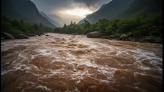
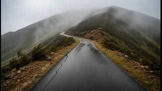
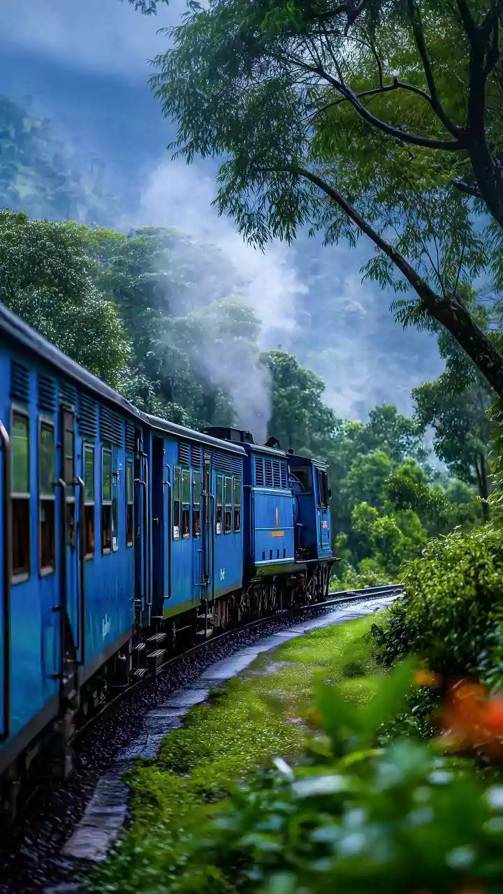
The monsoon transforms India’s hill stations into lush green paradises, making them incredibly popular for weekend getaways. However, the same rains that create this beauty can also trigger landslides, cause flash floods, and wash away roads, especially
in the fragile Himalayan region and the Western Ghats. Recent incidents in states like Uttarakhand, Himachal Pradesh, and Arunachal Pradesh highlight the dangers of travelling without proper planning. In July 2026, heavy rains have already caused disruptions, blocking highways and leading to evacuations. This doesn’t mean you must cancel all plans, but it does mean that responsible and safe travel requires more than just booking a hotel.
Your First Stop: Official Alerts
Before you even pack your bags, consult the official sources for weather and disaster warnings. The India Meteorological Department (IMD) is the primary agency for weather forecasts. Their colour-coded alerts are crucial to understand: Green (no warning), Yellow (be aware), Orange (be prepared), and Red (take action). An Orange or Red alert for your destination should prompt a serious reconsideration of your travel plans. Additionally, the National Disaster Management Authority (NDMA) and State Disaster Management Authorities (SDMAs) provide guidelines and advisories. The Geological Survey of India (GSI) is the nodal agency for landslide information and has been developing early warning systems.
Beyond the Highway: The Crucial Last Mile
Reaching the main town of a hill station is only part of the journey. The “last mile” refers to the final stretch of travel from a major road or transit hub to your specific destination, like a resort, homestay, or remote viewpoint. This is often the most vulnerable part of the trip. While a national highway might be cleared quickly, the smaller, local road leading to your hotel could be blocked for days by a minor landslide or fallen trees. Before booking, call your hotel or host directly. Ask them specifically about the condition of the access road, not just the main highway. Check local social media groups or Facebook pages of district administrations, which often post real-time updates on local road blockages.
How to Vet Your Destination
Not all hill stations carry the same level of risk. Well-managed destinations on more stable terrain are generally safer. However, areas with a history of landslides, heavy construction, or single-access roads are more precarious during heavy rains. Look for signs of instability like recent construction on steep slopes, which can weaken the terrain, or areas where drainage channels are blocked. Some regions are notoriously prone to disruptions. For instance, parts of Himachal Pradesh, Uttarakhand, and Arunachal Pradesh frequently report road closures during the monsoon. If your chosen destination has been in the news for weather-related issues, it's a significant red flag.
Harnessing Technology for Safer Travel
Several tools can help you monitor conditions in real-time. Use Google Maps or similar apps with the traffic layer activated to check for road closures and delays. For more specific landslide warnings, new systems are being developed. IIT Mandi, for example, has created a Landslide Early Warning System for the Himalayan region that provides daily forecasts. While many of these systems are still being rolled out for public use, they feed information to local authorities, so paying attention to official district-level news is key. For trekking and remote routes, databases like Open Street Maps, WikiLoc, and Ramblr can sometimes provide user-uploaded GPS logs and trail conditions, though these should be cross-verified.