


Our Unblinking Eyes in Orbit
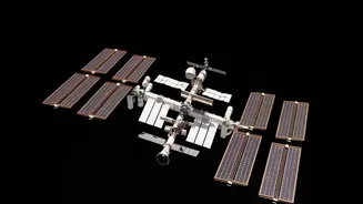
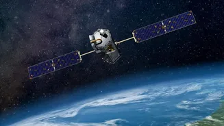
At the heart of this revolution is Earth Observation (EO) technology. Satellites launched and managed by the Indian Space Research Organisation (ISRO), such as those in the Resourcesat, Cartosat, and INSAT series, are equipped with sophisticated sensors.
These sensors capture high-resolution images of the Earth's surface by measuring reflected light across different spectral bands, some of which are invisible to the human eye. This process, known as remote sensing, allows scientists and policymakers to detect subtle changes on the ground. By comparing images taken days, months, or years apart, a dynamic picture of our nation emerges, revealing patterns that would be impossible to see from the ground.
Mapping a Nation in Motion
India is undergoing rapid transformation, and satellites are crucial for managing this growth sustainably. In our fast-growing cities, comparing satellite images over time helps planners track urban sprawl, often before official records are updated. This technique, called change detection, identifies where new housing colonies have replaced farmland or where illegal construction has encroached on protected zones like wetlands. Beyond the cities, this technology is a powerful tool for environmental stewardship. Authorities use satellite data to monitor deforestation, map the health of our forests, keep an inventory of glacial lakes, and observe changes in vital water bodies. This provides the critical information needed to manage natural resources and enforce environmental regulations effectively.
A Green Revolution from Space
For India's agricultural sector, satellite technology is a game-changer. ISRO's satellites monitor millions of farms, capturing images that reveal crop health, soil moisture levels, and areas under stress from pests or lack of water. Healthy vegetation reflects light differently from stressed plants, a difference that satellite sensors can easily detect. This data powers a host of applications that are empowering farmers. Government programmes and agritech startups use these insights to provide farmers with precise advice on when to irrigate, how much fertiliser to use, and the optimal time to harvest. For policymakers, this technology provides accurate, large-scale crop acreage and yield estimations, which are vital for ensuring national food security and managing food grain distribution. Projects like the National Agricultural Drought Assessment and Monitoring System (NADAMS) use satellite data to provide early warnings, helping authorities to direct relief measures to affected areas.
Forecasting and Taming Nature's Fury
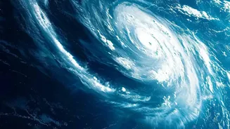
When it comes to weather, especially extreme events like cyclones and floods, satellites are our first line of defence. The INSAT series of satellites, operated by ISRO, provides continuous meteorological data, allowing the India Meteorological Department (IMD) to track the formation, intensity, and path of cyclones in the Indian Ocean with remarkable accuracy. These satellites measure variables like cloud top temperature, wind vectors, and sea surface temperature, all of which are critical inputs for weather prediction models. This capability has revolutionised disaster management in India, enabling timely warnings that allow for mass evacuations and preparedness measures, drastically reducing the loss of life. Beyond cyclones, satellite data improves monsoon predictions and helps monitor flood situations in near real-time, providing disaster response teams with the information they need to act swiftly.