



A Textbook Launch
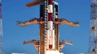
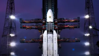
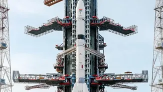
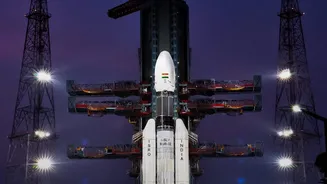
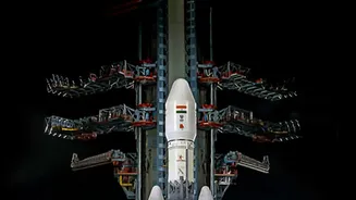
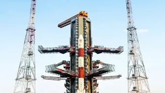
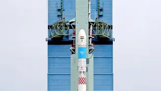
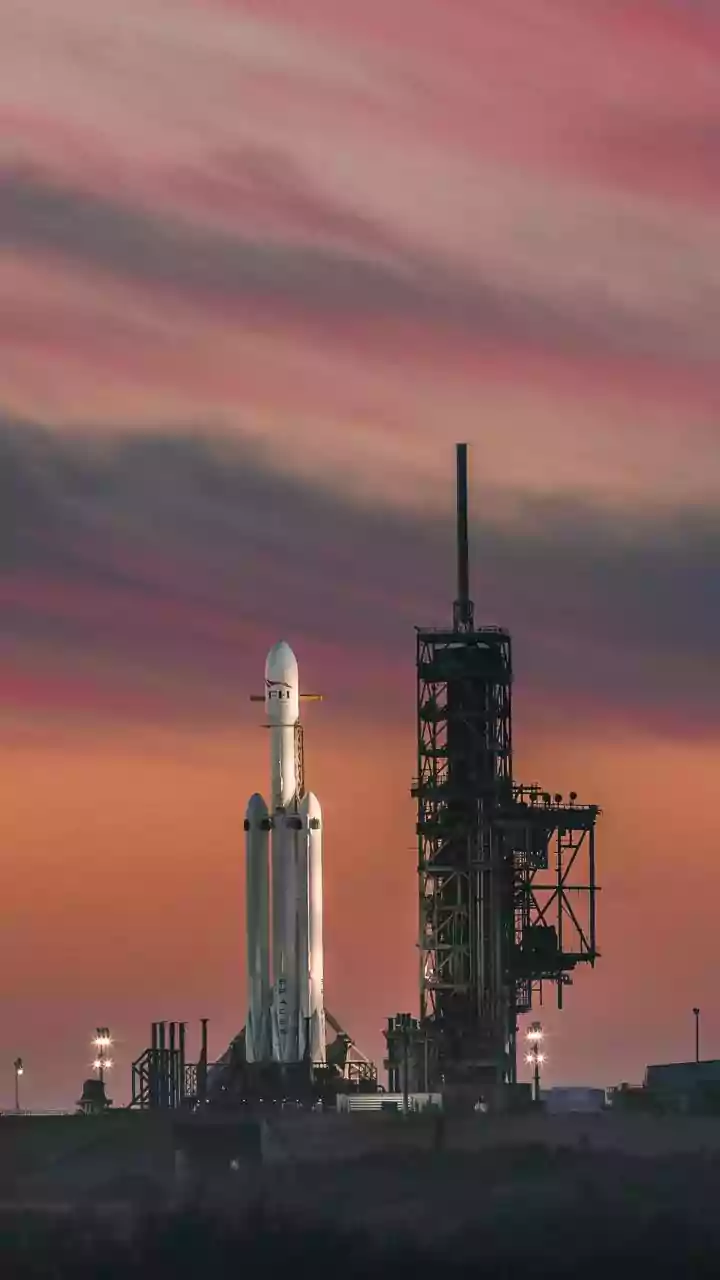
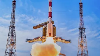
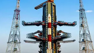
On October 30, the Indian Space Research Organisation’s (ISRO) Geosynchronous Satellite Launch Vehicle (GSLV-F18) soared into the sky from the Satish Dhawan Space Centre in Sriharikota. The powerful rocket flawlessly executed its mission, precisely injecting
the 2,250 kg NVS-03 satellite into a Geosynchronous Transfer Orbit. This successful launch marks a critical step in modernising India's regional navigation system, NavIC, and was celebrated as a major milestone for the country's space program. The NVS-03 is the third satellite in the new-generation NVS series, which is designed to replace and upgrade the original constellation of satellites. The successful deployment ensures that India's capability in providing independent positioning, navigation, and timing services remains robust.
What is NavIC, India's Answer to GPS?
NavIC, which stands for Navigation with Indian Constellation, is India’s own regional satellite navigation system, an indigenous alternative to foreign systems like the US-owned Global Positioning System (GPS). The need for a self-reliant system became a strategic priority after the 1999 Kargil War, when access to foreign GPS data was reportedly restricted. NavIC is designed to provide accurate real-time positioning and timing services covering the Indian mainland and a region extending about 1,500 kilometres beyond its borders. The system offers two types of services: a Standard Positioning Service (SPS) for all users and an encrypted Restricted Service (RS) for strategic and military use, enhancing national security. While GPS is a global system, NavIC’s regional focus allows it to provide strong signal coverage and high accuracy over its intended service area.
The Next-Generation Upgrade
The NVS series of satellites represents a significant technological leap over the first-generation IRNSS satellites. One of the most crucial upgrades in the NVS-03 is the inclusion of an indigenously developed Rubidium atomic clock. These clocks are the heart of any navigation satellite, providing ultra-precise timing data necessary to calculate an accurate position on the ground. Failures in the imported atomic clocks of earlier satellites had hampered the NavIC constellation's full operational capacity, making this indigenous development a vital step towards complete self-reliance. Furthermore, NVS-03 transmits signals in the L1 frequency band, in addition to the L5 and S bands. The L1 band is widely used by commercial GPS receivers, meaning NavIC will now be more easily compatible with everyday devices like smartphones and wearables, paving the way for wider public adoption. With an extended mission life of over 12 years, NVS-03 is built for long term service.
Restoring and Strengthening the Constellation
The launch of NVS_03 was critical for restoring the NavIC system's full capabilities. A minimum of four operational satellites are needed for basic positioning services, and prior to this launch, the constellation had fallen below this threshold due to the ageing of first_generation satellites and a setback with the NVS_02 mission. NVS_03's successful deployment brings the number of operational satellites back up, ensuring the system can once again provide reliable navigation data. By replacing an older satellite, NVS_03 not only ensures continuity but also enhances the overall robustness and accuracy of the network. This replenishment is essential for the myriad applications that depend on NavIC, from transport and logistics to disaster management and military operations.