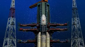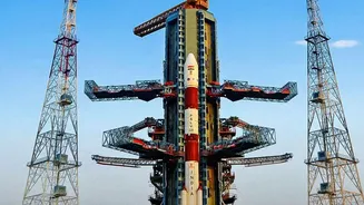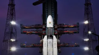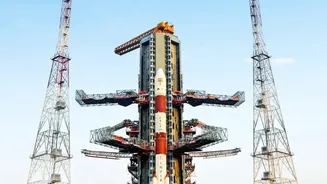







India's ambitions in space navigation took a significant leap forward on October 30. The successful launch of the NVS-03 satellite bolsters a critical piece of national infrastructure: the NavIC system. But what exactly is this system, and why is this upgrade
so important?
A Successful Liftoff
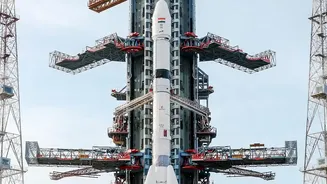
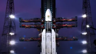
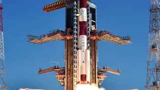
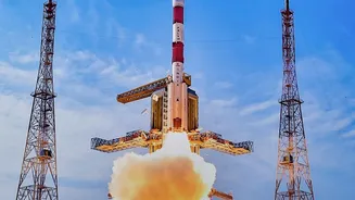
The Indian Space Research Organisation (ISRO) successfully launched its NVS-03 navigation satellite late on the night of October 30, 2026. A Geosynchronous Satellite Launch Vehicle (GSLV-F18) rocket carried the 2,250 kg satellite from the Satish Dhawan Space Centre in Sriharikota, placing it into a precise transfer orbit about 18 minutes later. This launch was crucial, as it is expected to restore full operational capability to India's homegrown navigation network. Following the launch, ISRO confirmed the satellite's health is normal and has begun the necessary orbit-raising manoeuvres to position it in its final geosynchronous orbit.
NavIC: India’s Answer to GPS
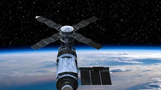
NavIC, which stands for Navigation with Indian Constellation, is India's indigenous regional satellite navigation system. Think of it as India's version of the American Global Positioning System (GPS), Russia's GLONASS, or Europe's Galileo. Developed and operated by ISRO, NavIC is designed to provide accurate real-time positioning, navigation, and timing (PNT) services. Its primary service area covers the Indian mainland and a region extending approximately 1,500 kilometres beyond its borders. This capability is vital for national security, reducing India's dependence on foreign-operated systems, which could be denied or degraded during times of geopolitical tension. The system provides two types of services: a Standard Positioning Service (SPS) for all users and an encrypted Restricted Service (RS) for strategic and military use.
What 'Second Generation' Means for NavIC
The NVS-03 is the third in a planned series of five second-generation satellites designed to augment and eventually replace the original constellation. These new satellites bring significant upgrades. A key enhancement is the introduction of a new civilian signal in the L1 frequency band. This is important because the L1 band is widely used by other global navigation systems, making it easier for device manufacturers to create receivers and mobile phones compatible with NavIC. Furthermore, the second-generation satellites are equipped with indigenously developed rubidium atomic clocks, which are critical for providing precise timing information. Failures of imported atomic clocks on the first-generation satellites were a major reason the constellation's capabilities had been degraded. With a longer mission life of over 12 years, these new satellites ensure the long-term health and reliability of the entire system.
From Defence to Disaster Management
A fully functional NavIC system has wideeranging applications that benefit both strategic and civilian sectors. For defence forces, it provides secure and reliable navigation for troop movements, fleet management, and precisionguided weapons, bolstering national security. For civilians, the applications are just as impactful. It can improve vehicle tracking and logistics, aid maritime navigation for fishermen, and enhance disaster management efforts by providing accurate location data for rescue operations during floods or cyclones. The precise timing signals from NavIC are also essential for synchronising power grids, banking networks, and telecommunication services across the country. As more consumer devices become NavICcompatible, everyday users will see improved location accuracy on their smartphones and other gadgets.