





An Unblinking Eye from Orbit
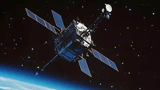
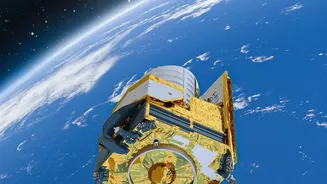
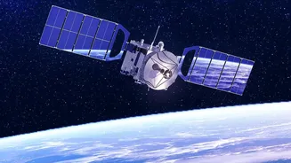
At its core, satellite environmental monitoring works by using advanced sensors to capture different kinds of energy reflecting off the Earth. These instruments are far more sophisticated than a simple camera. They can measure infrared radiation to gauge
temperature, use radar to see through clouds, and analyse specific wavelengths of light to identify different materials and gases. This process, known as remote sensing, allows scientists to collect vast amounts of information about our planet’s land, oceans, and atmosphere continuously and objectively. Satellites can be in different orbits depending on their mission; some remain over a specific region, while others scan the entire globe every few days, providing a comprehensive and ever-updating picture of planetary changes.
Monitoring Forests and Land Use
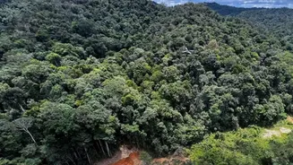
One of the most powerful applications of satellite technology is tracking deforestation and changes in land use. By comparing images taken over time, scientists can precisely map out areas where forests are being cleared. This is crucial for understanding the impact of activities like logging, agriculture, and urbanisation. For example, organisations use satellite data to provide near-real-time deforestation alerts, helping authorities combat illegal clearing in protected areas like the Amazon. In India, agencies like the Indian Space Research Organisation (ISRO) use data from their constellation of Earth Observation satellites to monitor forest cover, manage agricultural land, and plan urban development, ensuring resources are used sustainably.
Tracking Air and Water Quality
Satellites are also indispensable for monitoring pollution. From space, sensors can detect and measure concentrations of pollutants like particulate matter (PM2.5) and nitrogen dioxide in the atmosphere. This data helps identify pollution hotspots, track the movement of smoke from wildfires, and assess the air quality over large regions, such as the Indo-Gangetic Plain. This is especially valuable in areas with limited ground-based monitoring stations. ISRO's EOS-06 satellite, for instance, provides high-resolution data on atmospheric aerosols, empowering researchers to better understand air quality dynamics. Similarly, satellites can monitor water quality by detecting sediment plumes, harmful algal blooms, and even oil spills in oceans and large water bodies, providing critical information for resource managers.
A Global Climate Change Watch
When it comes to climate change, satellites provide the long-term, global data essential for understanding its effects. They track the melting of glaciers and polar ice sheets with incredible precision using radar and laser altimetry to measure changes in ice thickness and volume. This data is directly linked to forecasting sea-level rise. Missions like the joint NASA-ISRO satellite NISAR, set to launch soon, will further enhance our ability to monitor these changes, along with forest dynamics and wetlands. Satellites also measure sea surface temperatures and height, revealing how oceans are warming and expanding. This continuous, decades-long record is vital for climate models and for informing global policy decisions aimed at mitigating climate impacts.
Forecasting Disasters and Aiding Farmers
Beyond long-term monitoring, satellites play a critical role in immediate, practical applications. They are essential for disaster management, used to track the path of cyclones, map the extent of flooding, and monitor agricultural droughts. This information enables early warning systems that save lives and reduce economic damage. In agriculture, satellite data helps create more efficient practices. By monitoring soil moisture and crop health, farmers can apply water and fertilisers more precisely, a practice known as precision agriculture. This not only improves yields but also conserves precious resources, demonstrating how a view from space can have a direct, positive impact on lives and livelihoods on the ground.