


The Fury of Nature
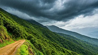
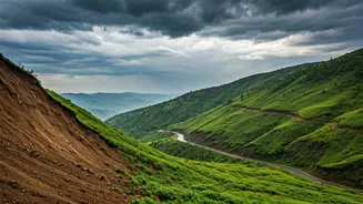
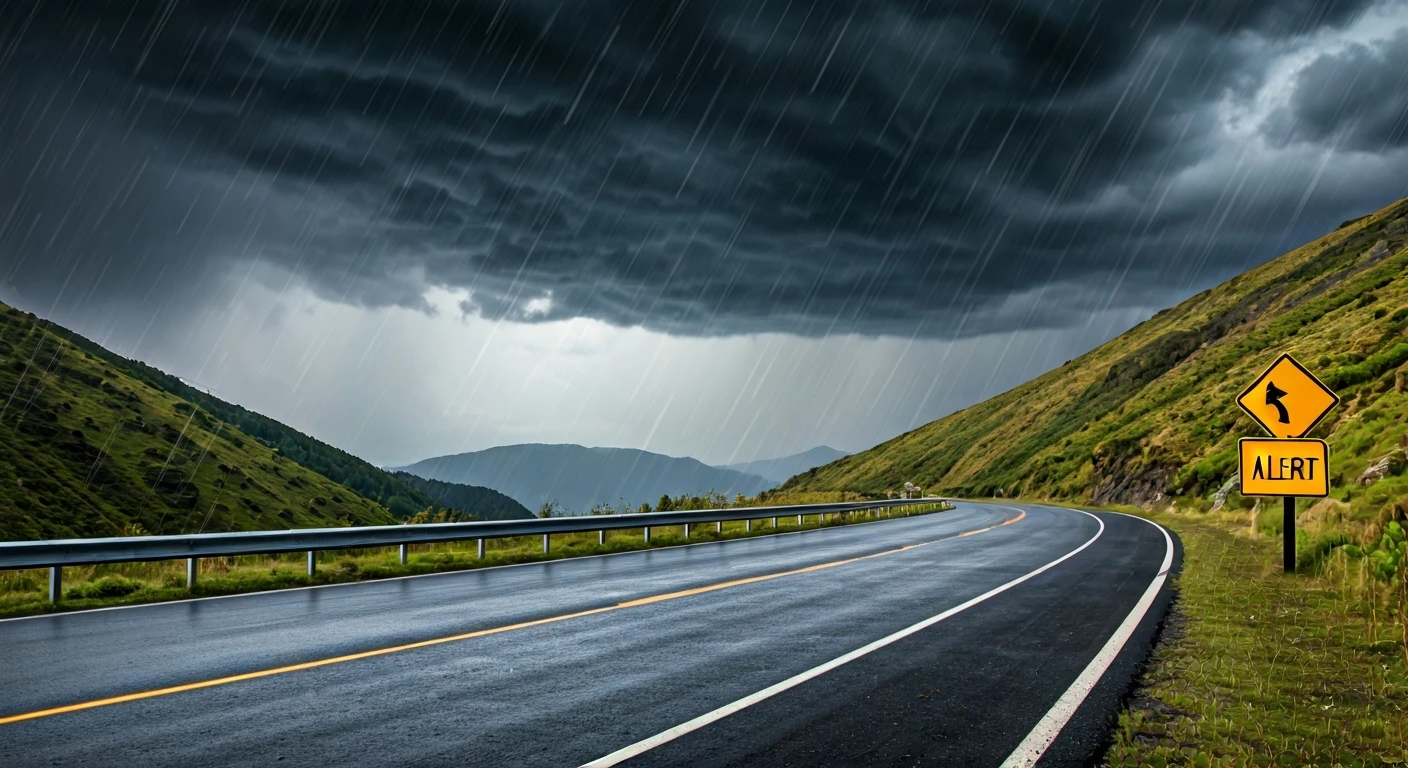
The most significant danger in the hills, especially during the monsoon (July-September), is the weather itself. Intense rainfall can trigger a cascade of hazards, including landslides, flash floods, and cloudbursts. Himalayan states like Himachal Pradesh
and Uttarakhand are particularly vulnerable, with recurring incidents of roads being washed away and entire slopes collapsing. In recent years, even a below-normal monsoon has produced short, intense cloudbursts causing significant damage. Before travelling, always check the India Meteorological Department (IMD) forecast and avoid travel during orange or red alerts. Be aware that popular destinations like Shimla, Manali, Darjeeling, and Nainital are all in high-risk zones.
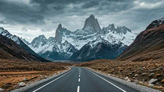
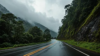
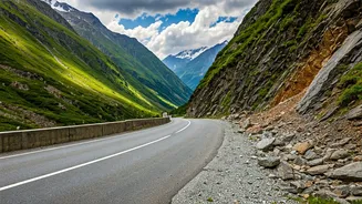
The Perilous Roads
The journey can often be as treacherous as the destination. Hill roads are typically narrow, winding, and have sharp, blind curves. During the rains, these roads become slippery, and the risk of landslides blocking routes is high, potentially stranding travellers for days. Overcrowded buses, speeding, and poor vehicle maintenance are major contributors to accidents in these regions. In fact, states like Himachal Pradesh and Uttarakhand report a high number of road fatalities annually due to these factors. To stay safe, ensure your vehicle's brakes, tyres, and wipers are in excellent condition. If hiring a cab, choose an experienced local driver who understands the terrain and avoid travelling at night when visibility is poor.
Trekking, Selfies, and Other Risks
The adventure of trekking comes with its own set of challenges. Trails can become dangerously slippery, streams can swell and become uncrossable, and getting lost is a real possibility without a local guide. Another modern-day peril is the quest for the perfect selfie. Tourists often venture to dangerous ledges, riverbanks, and waterfalls for a photo, which can have fatal consequences, especially with sudden surges in water levels from upstream. Always respect safety barriers and local advice. Remember that mobile networks can be unreliable in remote areas, so a physical map or a downloaded offline map can be a lifesaver.
The invisible threat of altitude
At elevations above 2,500 metres (about 8,200 feet), visitors are at risk of Acute Mountain Sickness (AMS), or altitude sickness. Symptoms are often mild at first, including headache, nausea, dizziness, and fatigue, and can feel like a hangover. However, if ignored, AMS can progress to life-threatening conditions like High-Altitude Pulmonary Edema (HAPE) or High-Altitude Cerebral Edema (HACE). The key to prevention is acclimatisation: ascend slowly, giving your body time to adjust. Plan for rest days, stay well-hydrated with water, and avoid alcohol for the first 48 hours at a high altitude. If symptoms appear, do not ascend further. Descending to a lower altitude is the most effective treatment.