



An Unblinking Eye on a Changing Planet
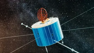
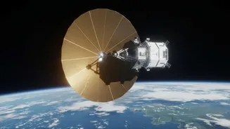
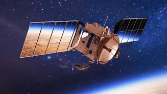
Launched in July 2025, NISAR is not just another satellite; it's a revolutionary Earth observation tool. A joint project between the American and Indian space agencies, it is equipped with advanced dual-frequency radar systems—L-band from NASA and S-band
from ISRO. Unlike optical satellites that are blinded by clouds or darkness, NISAR's radar penetrates these obstacles, allowing it to map nearly the entire planet's land and ice surfaces every 12 days, day or night, in any weather. Its precision is staggering, capable of detecting changes in the Earth's surface as small as a single centimeter. This constant, high-resolution monitoring provides a dynamic view of global processes, from the slow creep of a glacier to the sudden shift of land before a landslide.
The Data Floodgates Are Open
The most significant development is that this treasure trove of data is now accessible. Starting in July 2026, both NASA and ISRO began making their respective data streams available to the public, completely free of charge. NASA's L-band data, ideal for seeing through vegetation to the ground below, is distributed through platforms like the Alaska Satellite Facility. Simultaneously, ISRO is releasing its S-band data, which excels at analysing vegetation canopy and snowpack, via its Bhoonidhi data hub. This coordinated release means that scientists, researchers, and data analysts worldwide now have unified access to an unparalleled resource. The data is provided through web portals and programmatic APIs, making it ready for the large-scale, automated workflows required for modern data science.
Training a Smarter Generation of Climate Models
This is where the NISAR data release becomes a true game-changer for climate data training. Artificial intelligence and machine learning models, which are increasingly vital for predicting climate impacts, are only as good as the data they are trained on. NISAR provides a stream of consistent, global, and highly detailed information that was previously unimaginable. Models can now be trained on complete datasets without the gaps caused by cloud cover, particularly in critical tropical and polar regions. The ability to measure variables like soil moisture, forest biomass (a key indicator of carbon storage), and ice sheet dynamics provides powerful new inputs for climate modelling. By feeding AI systems this rich, time-series data, scientists can build more accurate models to forecast everything from flood risks and crop yields to the rate of sea-level rise.
What This Means for India
For India, the NISAR mission is a significant strategic asset that directly addresses national priorities. The data will provide critical insights for managing the country's vast agricultural sector, allowing for better monitoring of crop health, soil moisture, and drought conditions to improve yield forecasting. It will also be instrumental in monitoring the Himalayan glaciers, which are a vital source of water for the subcontinent, helping to understand their response to a warming climate. Furthermore, NISAR's ability to detect subtle ground deformation enhances disaster management capabilities. It can provide early warnings for landslides in vulnerable regions and help monitor the structural health of critical infrastructure like dams and bridges, and track ground subsidence in coastal cities like Mumbai and Kolkata.