


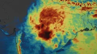

A Noticeably Drier Month
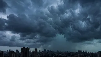
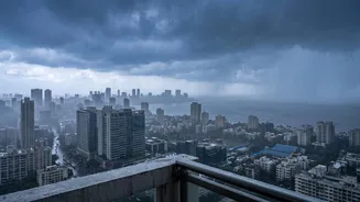
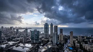
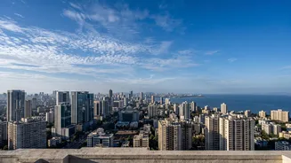
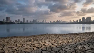
This August has felt different for Mumbaikars accustomed to relentless downpours. The data confirms this feeling. According to the India Meteorological Department (IMD), the rainfall recorded in Mumbai from August 1 to 25 was just 302.3 mm. This figure
is dramatically lower than the 1054.2 mm of rain received during the same period last year, representing only about 28% of the previous year's total. This sharp decrease follows an IMD forecast that predicted below-normal rainfall for August across much of the country. While the season's total rainfall since June is closer to average, the August lull has been pronounced and has contributed to a nationwide cumulative deficit.
The El Niño Effect
One of the primary global factors influencing this year's weaker monsoon is a strong El Niño event. El Niño is a climate pattern characterized by unusually warm sea surface temperatures in the equatorial Pacific Ocean. These warmer waters disrupt normal atmospheric circulation patterns worldwide, and for India, this often means suppressed monsoon rainfall. Weather agencies noted that moderate El Niño conditions were present and expected to strengthen throughout the monsoon season, exerting a significant drying influence, particularly in the second half of the season, which includes August and September.
Unfavourable Domestic Weather Systems
While El Niño sets the global stage, local and regional weather systems are crucial for bringing rain to the city. A key feature for heavy rain in Mumbai is a strong offshore trough—an extended area of low pressure along the west coast. This August, this trough has been largely weak or absent. Furthermore, the low-pressure systems that typically form over the Bay of Bengal and travel westwards across Central India, pulling moisture from the Arabian Sea over Mumbai, have been infrequent or have tracked further north, away from the region. The monsoon trough, another critical component, has also remained largely to the north of its normal position for extended periods.
A Muted MJO and Weak Jet Stream
Two other complex meteorological phenomena have contributed to the dry spell. The Madden-Julian Oscillation (MJO), an eastward-moving pulse of cloud and rainfall, has been in an unfavourable phase for India. When the MJO is active over the Pacific Ocean, it tends to suppress rainfall over the Indian subcontinent. Throughout August, the MJO has been largely in phases that are not conducive to enhancing the Indian monsoon. Additionally, the Somali Jet—a strong, low-level cross-equatorial wind that is a key engine of the monsoon—has been weaker than normal. A robust Somali Jet is essential for driving moisture-laden winds from the ocean towards India's west coast.
The Bigger Picture and Future Outlook
Mumbai's dry August is part of a larger trend of sub-par monsoon performance across Peninsular and East India. The country as a whole has seen a rainfall deficit of around 13% for the season as of late August. For Mumbai, the immediate impact is on the water levels in the seven lakes that supply the city's drinking water. While heavy spells in July helped shore up levels after a very dry June, the lack of rain in August is a cause for concern. Forecasters expect subdued rainfall activity to continue for the near future, with a significant revival unlikely before the end of the month. The focus is now shifting to September, with hopes that a positive Indian Ocean Dipole (IOD) might develop and counteract some of El Niño's negative impact, though this is not yet certain.