







A Direct Response to Rising Dangers
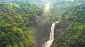
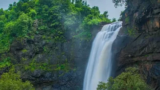
The move toward new technology is not happening in a vacuum. The 2026 monsoon season has seen intense and localised rainfall across the Western Ghats, leading to a rise in weather-related incidents. Just this past weekend, a flash flood near a waterfall
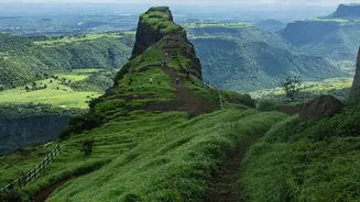
in Thane, Maharashtra, resulted in one death and another person going missing after a sudden downpour swept a group of tourists away. These tragic events highlight a recurring danger: water levels in streams and gullies can rise dramatically within minutes, catching even experienced trekkers off guard. In response, authorities have implemented some of the strictest safety measures in years. States like Karnataka, Maharashtra, and Goa have banned or restricted access to numerous popular trails, waterfalls, and forts during the peak rainy season. The new rules often include mandatory online permits, daily limits on the number of trekkers, and the requirement of a certified local guide.
How the GPS System Enhances Safety
While the headline mentions monitoring flash flood zones, the primary application of GPS technology in this context is centered on trekker tracking and coordination. Rather than stationary beacons monitoring water levels, the system involves trekkers and guides carrying personal GPS devices. Forest departments and trekking outfits are mandating GPS check-ins at the start and end of designated routes. Failure to check out within the expected timeframe automatically triggers a search protocol. This creates a digital safety net, allowing authorities to know who is on the trail and when they are expected back. In an emergency, the GPS data provides a last-known location, drastically reducing search times and improving the chances of a successful rescue. Some systems also allow for an SOS function, enabling a group in distress to send an alert with their precise coordinates, which is critical in remote areas where mobile network coverage is often unreliable.
On-the-Ground Implementation
Karnataka has been at the forefront of formalizing these new safety protocols. The Forest Department's 'Aranya Vihara' online portal is now the mandatory platform for all trekking registrations in the state's forests. For popular and ecologically sensitive areas like Kudremukh National Park, the rules are even more stringent. Access to peaks like Kudremukh and Netravati now requires a pre-booked online permit, with strict daily quotas and cut-off times for entry. Furthermore, hiring a registered local guide is now compulsory for every group, with guides often being equipped with tracking devices to ensure accountability and provide a direct line to authorities. These measures are not just about safety but also about sustainable tourism, aiming to reduce the environmental footprint and prevent overcrowding in fragile ecosystems. While initially focused on high-traffic routes in Karnataka, the model is being closely watched by officials in Maharashtra and Kerala, who face similar challenges.
Technology Is a Tool, Not a Silver Bullet
The adoption of GPS beacons is a significant step forward, but experts and seasoned trekkers caution that it should be seen as one component of a larger safety strategy. Technology cannot replace personal responsibility and sound judgment. The most critical safety decision remains route selection. Trekkers are advised to avoid trails known for narrow gullies, steep rock faces, or multiple stream crossings during heavy rain. Essential gear, such as high-grip footwear, waterproof layers, a head-torch, and a basic first-aid kit, remains non-negotiable. The new rules also emphasize respecting nature; carrying reusable water bottles and avoiding litter are now enforced requirements. The official advisories are clear: check weather forecasts, stick to marked trails, never trek alone, and always follow the instructions of your guide. The GPS system is a powerful safety net, but it's the combination of technology, regulation, and individual preparedness that truly makes monsoon trekking a safer adventure.